Randalls Island in Manhattan in New York County, New York — The American Northeast (Mid-Atlantic)
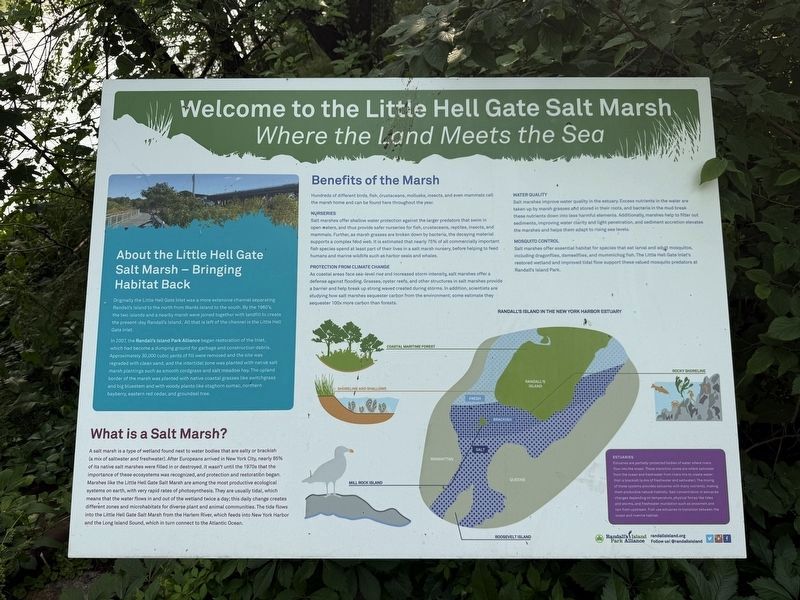
Welcome to the Little Hell Gate Salt Marsh
Where the Land Meets the Sea
Photographed by Devry Becker Jones (CC0), June 6, 2025
1. Welcome to the Little Hell Gate Salt Marsh Marker
About the Little Hell Gate Salt Marsh — Bringing Habitat Back
originally the Little Hell Gate Inlet was a more extensive channel separating Randall's Island to the north from Wards Island to the south. By the 1960's, the two islands and a nearby marsh were joined together with landfill to create the present-day Randall's Island. All that is left of the channel is the Little Hell Gate Inlet.
In 2007, the Randall's Island Park Alliance began restoration of the Inlet, which had become a dumping ground for garbage and construction debris. Approximately 30,000 cubic yards of fill were removed and the site was regraded with clean sand, and the intertidal zone was planted with native salt marsh plantings such as smooth cordgrass and salt meadow hay. The upland border of the marsh was planted with native coastal grasses like switchgrass and big bluestem and with woody plants like staghorn sumac, northern bayberry, eastern red cedar, and groundsel tree.
What is a Salt Marsh?
A salt marsh is a type of wetland found next to water bodies that are salty or brackish (a mix of saltwater and freshwater). After Europeans arrived
this page online
Benefits of the Marsh
Hundreds of different birds, fish, crustaceans, mollusks, insects, and even mammals call the marsh home and can be found here throughout the year.
Nurseries
Salt marshes offer shallow water protection against the larger predators that swim in open waters, and thus provide safer nurseries for fish, crustaceans, reptiles, insects, and mammals. Further, as marsh grasses are broken down by bacteria,
Photographed by Devry Becker Jones (CC0), June 6, 2025
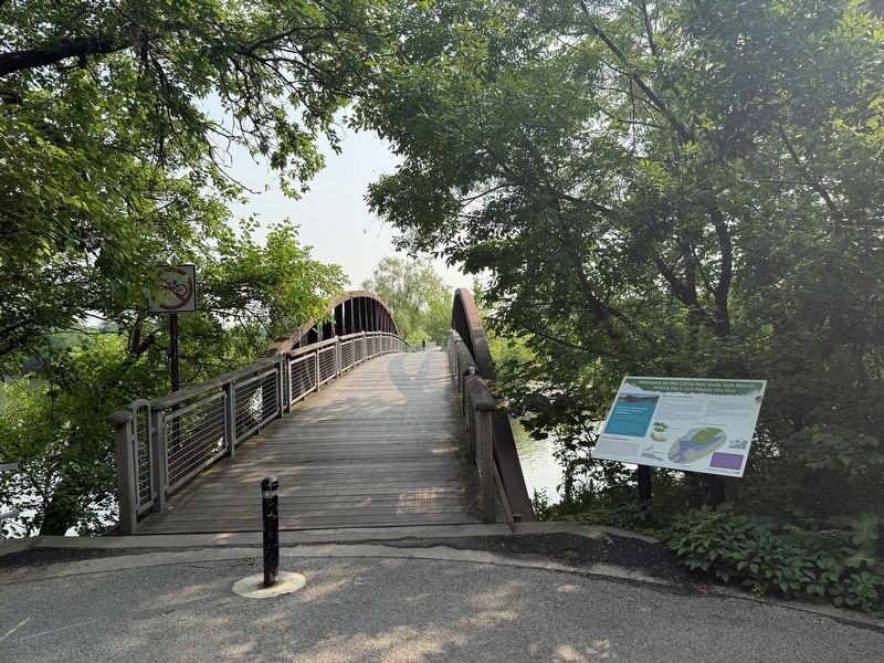
2. Welcome to the Little Hell Gate Salt Marsh Marker
Protection from Climate Change
As coastal areas face sea-level rise and increased storm intensity, salt marshes offer a defense against flooding. Grasses, oyster reefs, and other structures in salt marshes provide a barrier and help break up strong waves created during storms. In addition, scientists are studying how salt marshes sequester carbon from the environment; some estimate they sequester 100x more carbon than forests.
Water Quality
Salt marshes improve water quality in the estuary. Excess nutrients in the water are taken up by marsh grasses and stored in their roots, and bacteria in the mud break these nutrients down into less harmful elements. Additionally, marshes help to filter out sediments, improving water clarity and light penetration, and sediment accretion elevates the marshes and helps them adapt to rising sea levels.
Mosquito Control
Salt
Photographed by Devry Becker Jones (CC0), June 6, 2025
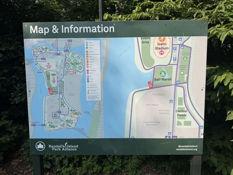
3. Nearby Map & Information signage for Randall's Island Park
Estuaries
Estuaries are partially-protected bodies of water where rivers flow into the ocean. These transition zones are where saltwater from the ocean and freshwater from rivers mix to create water that is brackish (a mix of freshwater and saltwater). The mixing of these systems provides estuaries with many nutrients, making them productive natural habitats. Salt concentration in estuaries changes depending on temperature, physical forces like tides and storms, and freshwater inundation such as snowmelt and rain from upstream. Fish use estuaries to transition between the ocean and riverine habitat.
Erected by NYC Parks; Randall's Island Park Alliance.
Topics and series. This historical marker is listed in these topic lists: Environment • Horticulture & Forestry • Parks & Recreational Areas • Waterways & Vessels. In addition, it is included in the NYC Parks series list. A significant historical year for this entry is 2007.
Location. 40° 47.446′ N, 73° 55.686′ W. Marker is in Manhattan, New York, in New York County. It is on Randalls Island. It is on Little Hell Gate Bridge near Harlem River Pathway, on the right when traveling north. Touch for map. Marker is at or near this postal address: 100 Little Hell Gate Bridge, New York NY 10035, United States of America. Touch for directions.

Regionally, this marker is in New York City. It is also in the American Northeast, in the Mid-Atlantic, and on the Eastern Seaboard. Globally, it is in the North Atlantic Region, North America, the Western Hemisphere, the Western World, and the Anglosphere. Historically, it finds itself in what was once New Netherland and also one of the original Thirteen Colonies.
Other nearby markers. At least 8 other markers are within walking distance of this marker: World War Memorial (within shouting distance of this marker); Welcome to the Water's Edge Garden (about 400 feet away, measured in a direct line); a different marker also named Welcome to the Little Hell Gate Salt Marsh (about 500 feet away); a different marker also named Welcome to the Little Hell Gate Salt Marsh (approx. 0.2 miles away); Welcome to the Freshwater Kills (approx. ¼ mile away); a different marker also named Welcome to the Water's Edge Garden (approx. 0.3 miles away); GreenThumb (approx. 0.4 miles away); Pleasant Village Community Garden (approx. half a mile away). Touch for a list and map of all markers in Manhattan.
Credits. This page was last revised on June 8, 2025. It was originally submitted on June 8, 2025, by Devry Becker Jones of Washington, District of Columbia. This page has been viewed 101 times since then and 27 times this year. Photos: 1, 2, 3. submitted on June 8, 2025, by Devry Becker Jones of Washington, District of Columbia.
