
Hunts Point in the Bronx in Bronx County, New York — The American Northeast (Mid-Atlantic)
what's that box doing over there?

Rocking the Boat participants are building, planting, and monitoring "suspended wetlands" boxes filled with salt marsh grasses to create a tidal wetland habitat along a hard industrial shoreline.
Where you are now was once a wide wetland, crisscrossed with creeks, filled with salt marsh grasses and animals—one of the richest ecosystems in the world, used as a plentiful food source by local Lenape people. Twice a day, the tides flooded it with water, and then exposed it — along with mussels, oysters, crabs fish, shrimp and feeding birds.
After centuries of urbanization and industrialization, the former salt marsh has been filled and lined with buildings and pavement. Hard surfaces force stormwater runoff, sewage overflows, and pollution into the river. However, recent years of restoration and advocacy have helped improve the Bronx River. Can you spot any large wading birds hunting fish at low tide?
coastal wetlands do a lot of work!
• Wetlands work as a buffer against coastal flooding and storm surges, protecting the neighborhood nearby
• Salt marshes provide habitat for many forms of life and act as anursery for commercially important fish, crab and oyster species
Click or scan to see
this page online
• Grasses such as Spartina absorb contaminants from the soil and water and carbon dioxide from the air, creating a healthier environment for allSpartina alterniflora form a symbiotic relationship; the mussels find stability and shelter from heat and predators at the base of the Spartina, which thrives on the nitrogen the mussels absorb from the water
• Ribbed mussels filter harmful bacteria and contaminants from the water
• Spartina and mussels trap sediment, stabilize the shoreline, and prevent erosion
who lives in a wetland?
Blue crab • Muskrat • Atlantic Menhaden (commonly known as Bunker) • Ribbed Mussels • Great Egret with American Eel • Grass Shrimp
Erected by Rocking the Boat.
Topics. This historical marker is listed in these topic lists: Environment • Indigenous Peoples and Communities • Industry & Commerce • Waterways & Vessels.
Location. 40° 49.075′ N, 73° 52.879′ W. Marker is in Bronx, New York, in Bronx County. It is in Hunts Point. It is on Lafayette Avenue east of Edgewater


Regionally, this marker is in New York City. It is also in the American Northeast, in the Mid-Atlantic, and on the Eastern Seaboard. Globally, it is in the North Atlantic Region, North America, the Western Hemisphere, the Western World, and the Anglosphere. Historically, it finds itself in what was once New Netherland and also one of the original Thirteen Colonies.
Other nearby markers. At least 8 other markers are within walking distance of this marker: The Bronx River (about 400 feet away, measured in a direct line); Lyons Square Playground (approx. half a mile away); a different marker also named Lyons Square Playground (approx. half a mile away); Joseph Rodman Drake Park (approx. half a mile away); a different marker also named Lyons Square Playground (approx. half a mile away); Fufidio Triangle War Memorial (approx. 0.6 miles away); Fufidio Triangle (approx. 0.6 miles away); Printers Park (approx. 0.6 miles away). Touch for a list and map
Photographed by Devry Becker Jones (CC0), June 6, 2025
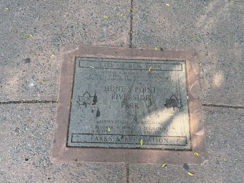
3. Dedication plaque for Hunt's Point Riverside Park from NYC Parks
Credits. This page was last revised on June 8, 2025. It was originally submitted on June 8, 2025, by Devry Becker Jones of Washington, District of Columbia. This page has been viewed 147 times since then and 17 times this year. Photos: 1, 2, 3. submitted on June 8, 2025, by Devry Becker Jones of Washington, District of Columbia.
