Fort Erie in Niagara Region, Ontario — Central Canada (North America)
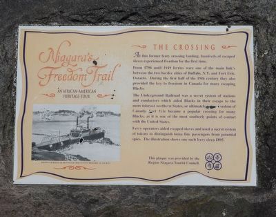
Niagara's Freedom Trail - The Crossing
An African-American Heritage Tour
Photographed by Kevin Westell, July 18, 2025
1. Niagara's Freedom Trail - The Crossing - Marker
From 1796 until 1949 ferries were one of the main link's between the two border cities of Buffalo, N.Y. and Fort Erie, Ontario. During the first half of the 19th century they also provided the key to freedom in Canada for many escaping Blacks.
The Underground Railroad was a secret system of stations and conductors which aided Blacks in their escape to the more tolerant northern States, or ultimately to the freedom of Canada. Fort Erie became a popular crossing for many Blacks, as it is one of the most southerly points of contact with the United States.
Ferry operators aided escaped slaves and used a secret system of tokens to distinguish bona fide passengers from potential spies. The illustration shows one such ferry circa 1895.
Erected by Region Niagara Tourist Council.
Topics. This historical marker is listed in these topic lists: Abolition & Underground RR • African Americans • Colonial Era • Waterways & Vessels. A significant historical year for this entry is 1796.
Location. 42° 54.095′ N,
this page online

Regionally, this marker is on the Golden Horseshoe and in Niagara Canada. It is also in Central Canada. Globally, it is in North America, on the Great Lakes, in the Western Hemisphere, in the Western World, and in the Anglosphere. Historically, it finds itself in what was once a British colony, the Viceroyalty of New France, the Haudenosaunee (Iroquois) Confederacy, and Rupert’s Land.
Other nearby markers. At least 8 other markers are within walking distance of this marker: The Royal Canadian Legion - Frontier Branch 71 - Lest We Forget (approx. 0.4 kilometers away); Fort Erie Cenotaph (approx. half a kilometer away); Fort Erie, Pro Patria Mori Cairn (approx. 0.9 kilometers away); The First Fort Erie (approx. one kilometer away); Capture of the "Ohio" and "Somers" (approx. 1.1 kilometers
Photographed by Kevin Westell, July 18, 2025
2. Marker in context
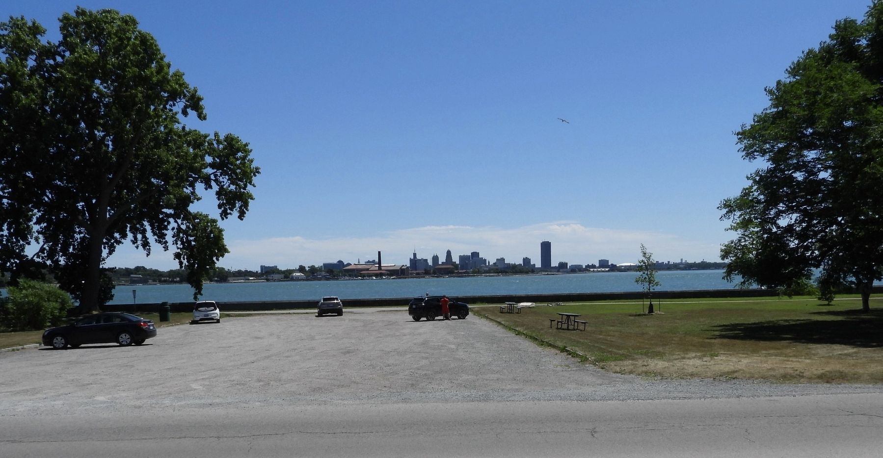
Photo faces south-east, from Lakeshore Road. The marker's rock is on the right of the parking lot, behind a picnic table and in front of the breakwater wall. Lake Erie and Buffalo are in the distance.
Credits. This page was last revised on July 21, 2025. It was originally submitted on July 19, 2025, by Kevin Westell of St. Catharines, Ontario. This page has been viewed 136 times since then and 40 times this year. Photos: 1, 2. submitted on July 19, 2025, by Kevin Westell of St. Catharines, Ontario. • Andrew Ruppenstein was the editor who published this page.
