Wawatam Township in Mackinaw City in Cheboygan County, Michigan — The American Midwest (Great Lakes)
Fur Trade Routes
Photographed by Bill Coughlin, July 13, 2024
1. Fur Trade Routes Marker
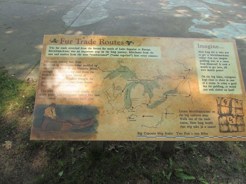
The fur trade stretched from the forests far north of Lake Superior to Europe. Michilimackinac was an important stop on the long journey. Merchants from the east and traders from the west “rendezvoused” (“came together”) here every summer.
Voyageurs coming east from Montral to Michilimackinac paddled up the Ottawa River to the Mattawa River, through Lake Nipissing and down the French River to Lake Huron to Michilimackinac. Traders brought fur pelts to Michilimackinac from distant Native American villages.
The traders received a fresh supply of trade goods and voyageurs loaded furs into their canoes for the journey back east.
Imagine . . .
How long did it take you to get to Michilimackinac today? Can you imagine paddling here in a canoe from Montreal? It took a month to get here, all with muscle power!
On the big lakes, voyageurs kept close to shore in case of a storm. Is today a good day for paddling, or would you seek shelter on land?
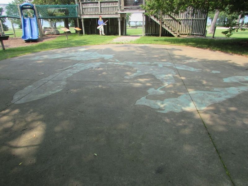
Locate Michilimackinac on the big concrete map. Walk to one of trade routes, How long would that trip take in a canoe?
Topics. This historical marker is listed in these topic lists: Colonial Era
this page online
Location. 45° 47.224′ N, 84° 44.016′ W. Marker is in Mackinaw City, Michigan, in Cheboygan County. It is in Wawatam Township. It can be reached from Straits Avenue. Marker is located in a playground near Fort Michilimackinac. Touch for map. Marker is at or near this postal address: 101 W Straits Avenue, Mackinaw City MI 4970, United States of America. Touch for directions.

Regionally, this marker is in Northern Michigan Lower Peninsula, on the Straits of Mackinac, and in one of the Lake Huron Shore counties. It is also in the American Midwest. Globally, it is in North America, in the Great North Woods, on the Great Lakes, in the Western Hemisphere, in the Western World, and in the Anglosphere. Historically, it finds itself in what was once the Northwest Territory.
Other nearby markers. At least 8 other markers are within walking distance of this marker: Canoes (here, next to this marker); From Montreal to Michilimackinac (a few steps from this marker); The Community Outside the Walls: Suburbs of Michilimackinac
Photographed by Bill Coughlin, July 13, 2025
2. Fur Trade Routes Marker
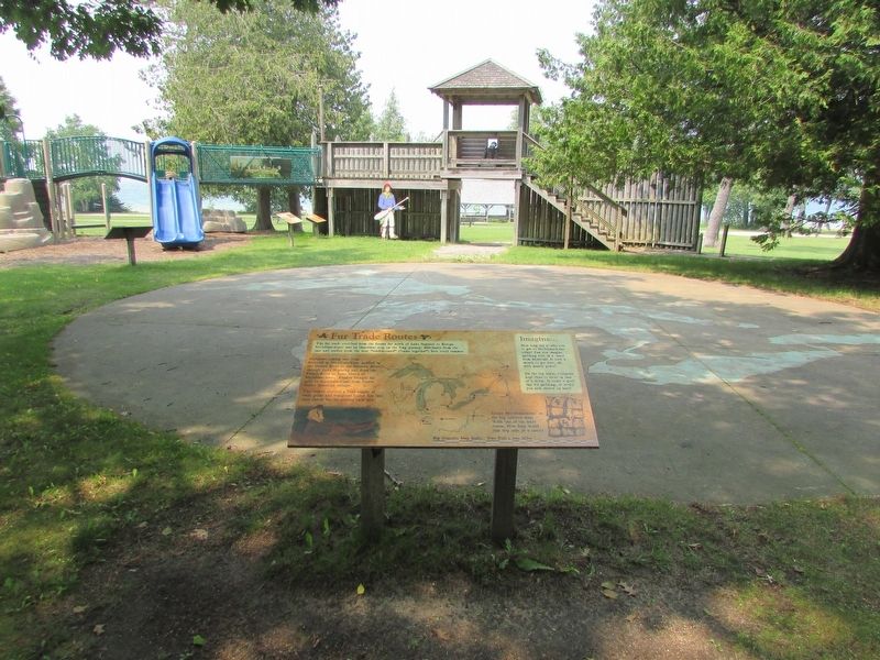
The concrete map of the Great Lakes area can be seen in front of the marker.
More about this marker. The background of the marker features a map of the Great Lakes area and indicates various destinations of the fur traders.
Photographed by Bill Coughlin, July 13, 2025
3. Markers at Colonial Michilimackinac
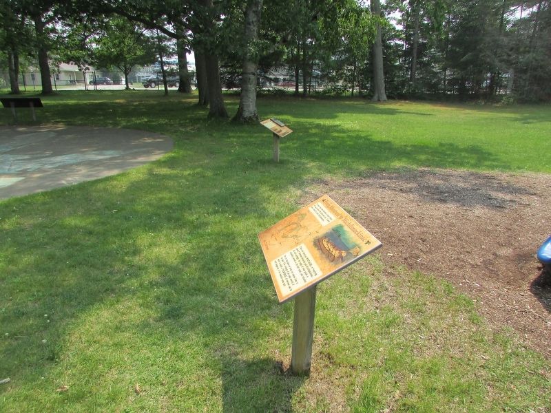
The back of the Fur Trade Routes marker can be seen at the upper left of the photo.
Photographed by Bill Coughlin, July 13, 2025
4. Concrete Map of Great Lakes Area and Fur Trade Routes
Credits. This page was last revised on July 19, 2025. It was originally submitted on July 19, 2025, by Bill Coughlin of Woodland Park, New Jersey. This page has been viewed 144 times since then and 45 times this year. Photos: 1, 2, 3, 4. submitted on July 19, 2025, by Bill Coughlin of Woodland Park, New Jersey.
