Near Carlsbad in Eddy County, New Mexico — The American Mountains (Southwest)
Carlsbad Caverns National Park
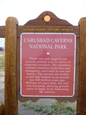
Photographed by Bill Kirchner, October 26, 2012
1. Carlsbad Caverns National Park Marker
Erected by New Mexico Historic Preservation Division.
Topics. This historical marker is listed in these topic lists: Environment • Natural Features • Parks & Recreational Areas.
Location. 32° 10.552′ N, 104° 22.317′ W. Marker is near Carlsbad, New Mexico, in Eddy County. It is on U.S. 62 at milepost 16, on the right when traveling west. Touch for map. Marker is in this post office area: Carlsbad NM 88220, United States of America. Touch for directions.

Regionally, this marker is in the Pecos Valley. It is also in the American Southwest, on the Great Plains, on the Southern Plains, and specifically on the High Plains. Globally, it is in North America, the Western Hemisphere, the Western World,
this page online
Other nearby markers. At least 4 other markers are within 9 miles of this marker, measured as the crow flies: Stephen Tyng Mather (approx. 4.1 miles away); a different marker also named Carlsbad Caverns National Park (approx. 5½ miles away); Guadalupe Mountains (approx. 8.2 miles away); Guadalupe Escarpment Scenic Area (approx. 8.2 miles away).
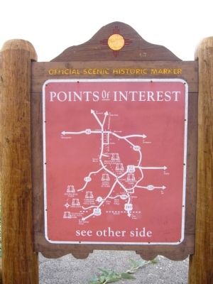
Photographed by Bill Kirchner, October 26, 2012
2. Back of Carlsbad Caverns National Park Marker
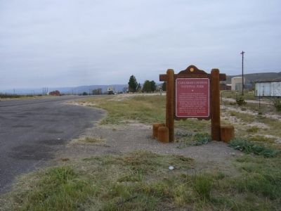
Photographed by Bill Kirchner, October 26, 2012
3. Carlsbad Caverns National Park Marker
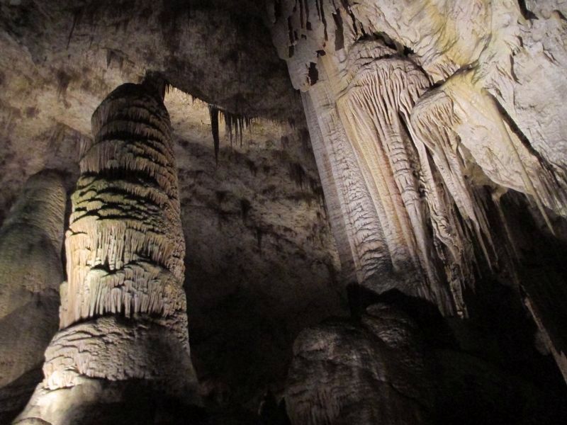
Photographed by Jennifer W., October 2016
4. Carlsbad Caverns National Park
An example of one of the many limestone formations found within the Big Room of Carlsbad Caverns
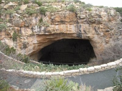
Photographed by Julie Szabo
5. The cave entrance
Credits. This page was last revised on November 7, 2025. It was originally submitted on November 28, 2012, by Bill Kirchner of Tucson, Arizona. This page has been viewed 1,083 times since then and 32 times this year. Last updated on July 30, 2025, by Bill Wingate of Albuquerque, New Mexico. Photos: 1, 2, 3. submitted on November 28, 2012, by Bill Kirchner of Tucson, Arizona. 4. submitted on January 5, 2020, by Jennifer W. of Las Cruces, New Mexico. 5. submitted on March 5, 2008, by Julie Szabo of Oldsmar, Florida. • Devry Becker Jones was the editor who published this page.
