Hempfield Township in Hannastown in Westmoreland County, Pennsylvania — The American Northeast (Mid-Atlantic)
Historic Hanna's Town
a National Register Site
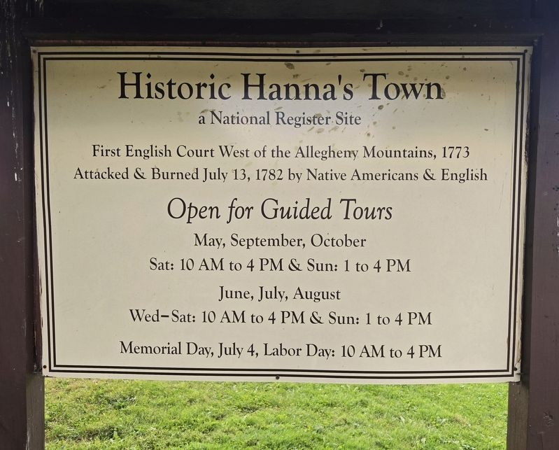
Photographed by Bradley Owen, August 15, 2025
1. Historic Hanna's Town Marker
Attacked & Burned July 13, 1782 by Native Americans & English
Open for Guided Tours
May, September, October
Sat: 10 AM to 4 PM & Sun: 1 to 4 PM
June, July, August
Wed-Sat: 10 AM to 4 PM & Sun: 1 to 4 PM
Memorial Day, July 4, Labor Day: 10 AM to 4 PM
Erected by Westmoreland Historical Society.
Topics and series. This historical marker is listed in these topic lists: Indigenous Peoples and Communities • Law Enforcement • Notable Events • Notable Places. In addition, it is included in the National Register of Historic Places (NRHP) series list. A significant historical date for this entry is July 13, 1782.
Location. 40° 20.682′ N, 79° 30.372′ W. Marker is in Hannastown, Pennsylvania, in Westmoreland County. It is in Hempfield Township. It is on Forbes Trail Road (Pennsylvania Route 1032) 0.1 miles west of Hannastown Road ( Route 1055), on the right when traveling west. Marker is located on the grounds of Historic Hanna's Town at the eastern parking lot. Touch for map. Marker is at or near this postal address: 809 Forbes Trail Road, Hannastown
this page online

Regionally, this marker is in the Laurel Highlands and in Greater Pittsburgh. It is also in the American Northeast, in the Mid-Atlantic, in Appalachia, and specifically in Northern Appalachia. Globally, it is in North America, the Western Hemisphere, the Western World, and the Anglosphere. Historically, it finds itself in what was once the Viceroyalty of New France, the Haudenosaunee (Iroquois) Confederacy, and one of the original Thirteen Colonies.
Other nearby markers. At least 8 other markers are within walking distance of this marker: Law and Order (within shouting distance of this marker); For Safety and Survival (about 300 feet away, measured in a direct line); Peggy Shaw (about 400 feet away); Hanna's Town (about 400 feet away); Hannastown Fort (about 400 feet away); Hannastown (approx. 0.4 miles away); Hannastown Farm (approx. half a mile away); Hannastown Honor Roll (approx. ¾ mile away). Touch for a list and map of all markers in Hannastown.
Regarding Historic Hanna's Town. The village of Hannastown was laid out and originally settled in 1768–1769.
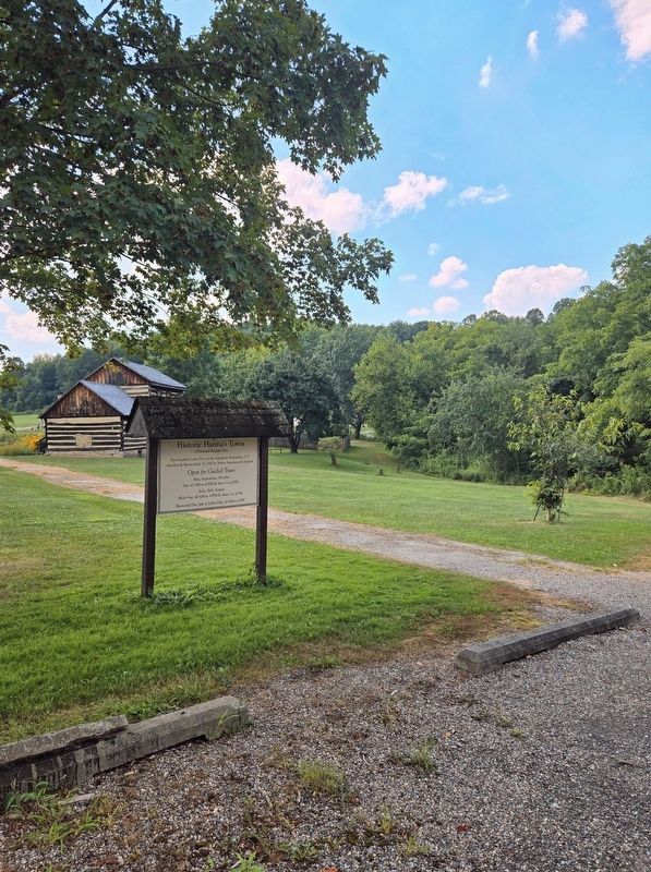
Photographed by Bradley Owen, August 15, 2025
2. Historic Hanna's Town Marker
Also see . . . The History of Historic Hanna's Town.
Established in 1773, Hanna's Town was the site of the first seat of government for Westmoreland County and hosted the first English courts west of the Allegheny Mountains, signaling settlers foothold on the Pennsylvania frontier and the push to move west.(Submitted on August 19, 2025, by Bradley Owen of Morgantown, West Virginia.)
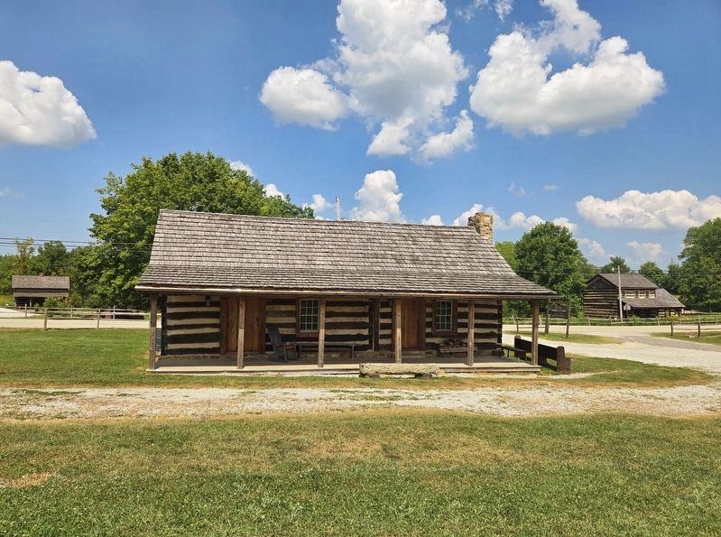
Photographed by Bradley Owen, August 15, 2025
3. Reconstructed/Relocated Structures at Historic Hanna's Town
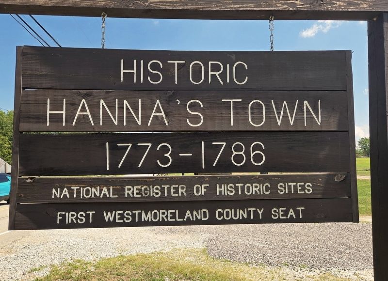
Photographed by Bradley Owen, August 15, 2025
4. Additional Marker Along Forbes Trail Road
1773 - 1786
National Register of Historic Sites
First Westmoreland County Seat
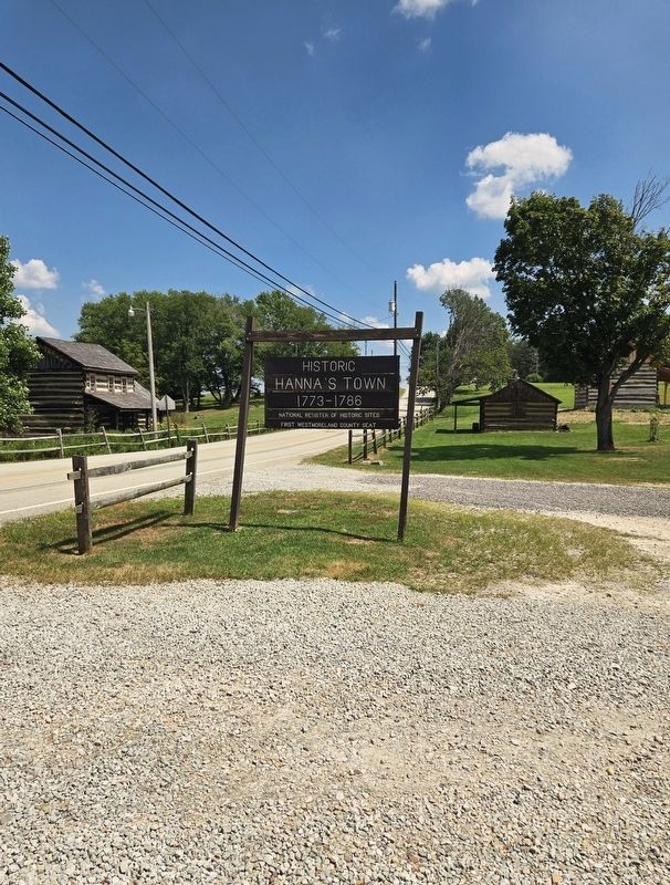
Photographed by Bradley Owen, August 15, 2025
5. Historic Hanna's Town Marker
Looking east along Forbes Trail Road.
Credits. This page was last revised on August 19, 2025. It was originally submitted on August 19, 2025, by Bradley Owen of Morgantown, West Virginia. This page has been viewed 118 times since then and 30 times this year. Photos: 1, 2, 3, 4, 5. submitted on August 19, 2025, by Bradley Owen of Morgantown, West Virginia.
