Fridley in Anoka County, Minnesota — The American Midwest (Upper Plains)
Banfill-Locke Tavern
⎯⎯⎯
Manomin County Park
Photographed by McGhiever
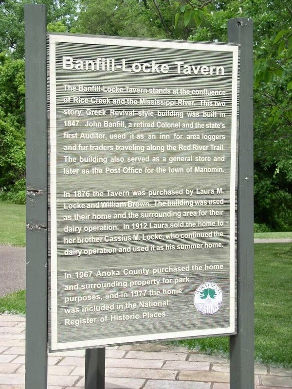
1. Banfill-Locke Tavern marker
[obverse]
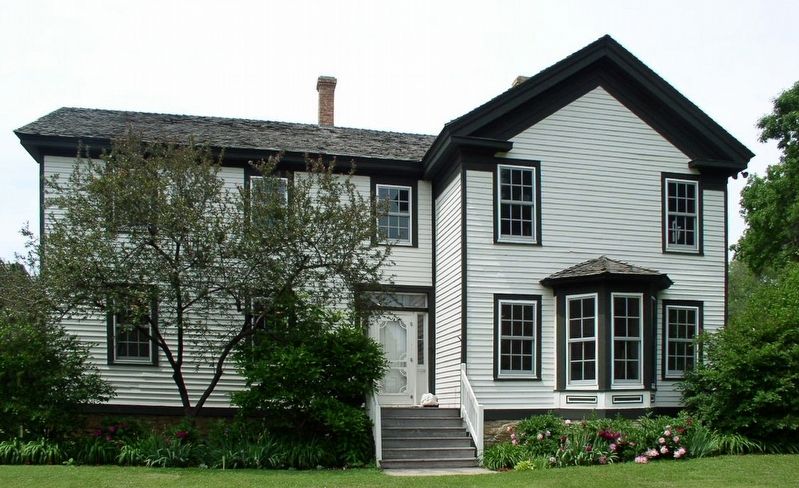
The Banfill-Locke Tavern stands at the confluence of Rice Creek and the Mississippi River. This two story, Greek Revival style building was built in 1847. John Banfill, a retired Colonel and the state's first Auditor, used it as an inn for area loggers and fur traders traveling along the Red River Trail. The building also served as a general store and later as the Post Office for the town of Manomin.
In 1876 the Tavern was purchased by Laura M. Locke and William Brown. The building was used as their home and the surrounding area for their dairy operation. In 1912 Laura sold the home to her brother Cassius M. Locke, who continued the dairy operation and used it as his summer home.
In 1967 Anoka County purchased the home and surrounding property for park purposes, and in 1977 the home was included in the National Register of Historic Places.
[reverse]
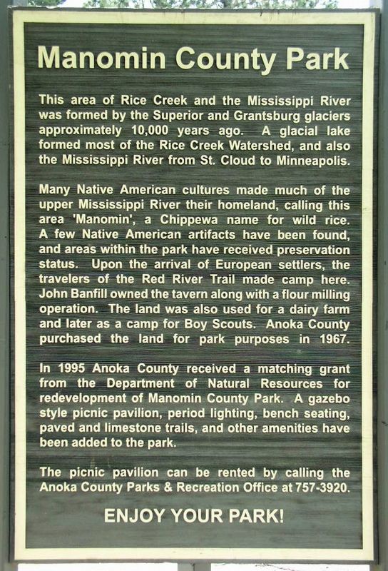
This area of Rice Creek and the Mississippi River was formed by the Superior and Grantsburg glaciers approximately 10,000 years ago. A glacial lake formed most of the Rice Creek Watershed, and also the Mississippi River from St. Cloud to Minneapolis.
Many
this page online
In 1995 Anoka County received a matching grant from the Department of Natural Resources for redevelopment of Manomin County Park. A gazebo style picnic pavilion, period lighting, bench seating, paved and limestone trails, and other amenities have been added to the park.
The picnic pavilion can be rented by calling the Anoka County Parks & Recreation Office at 757-3920.
Erected by Anoka County Parks.
Topics. This historical marker is listed in these topic lists: Agriculture • Indigenous Peoples and Communities • Industry & Commerce • Parks & Recreational Areas. A significant historical year for this entry is 1847.
Location. 45° 5.338′ N,
Photographed by McGhiever
2. Manomin County Park marker

Regionally, this marker is in the Twin Cities Metropolitan Area. It is also in the American Midwest, in the Corn Belt, and in the Great River Road Region. Globally, it is in North America, the Western Hemisphere, the Western World, and the Anglosphere. Historically, it finds itself in what was once Rupert’s Land and also the territory of the Mississippian Culture.
Other nearby markers. At least 8 other markers are within 4 miles of this marker, measured as the crow flies: Anoka County Manomin* Park (within shouting distance of this marker); Moore Lake: A trip through time (approx. 1½ miles away); Planting for Clean Water (approx. 1½ miles away); Riedel Farmhouse (approx. 1.9 miles away); Earle Brown and the Brooklyn Farm (approx. 2 miles away); Maple Leaf and Humboldt Heights (approx. 3.2 miles away); The "Lumberman" (approx. 3.9 miles away); Webber Pool (approx. 3.9 miles away). Touch for a list and map of all markers in Fridley.
Photographed by McGhiever
3. The Banfill-Locke Tavern
Credits. This page was last revised on August 20, 2025. It was originally submitted on August 20, 2025, by McGhiever of Minneapolis, Minnesota. This page has been viewed 146 times since then and 40 times this year. Photos: 1, 2, 3. submitted on August 20, 2025, by McGhiever of Minneapolis, Minnesota.
