Old Road Town in Saint Thomas Middle Island, Saint Kitts, Saint Kitts and Nevis — Caribbean Region of the Americas (Lesser Antilles in the West Indies)
Bell Tower
Wingfield Estate
St. Kitts
| — | Established 1625 | — |
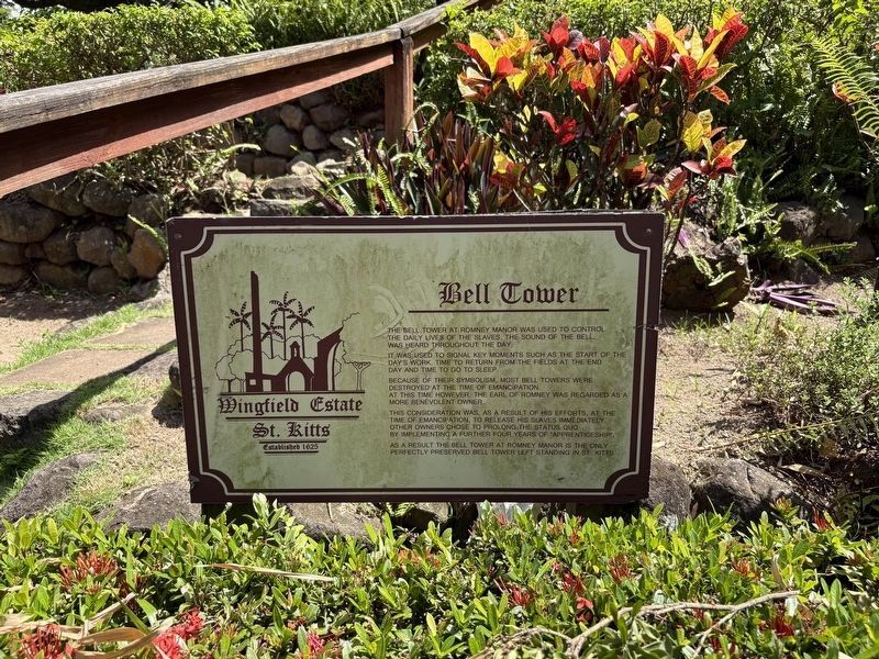
Photographed by Jason Fountain, August 21, 2025
1. Bell Tower Marker
The bell tower at Romney Manor was used to control the daily lives of the slaves. The sound of the bell, was heard through the day.
it was used to signal key moments such as the start of the day's work, time to return from the fields at the end of the day and time to go to sleep.
Because of their symbolism, most bell towers were destroyed at the time of emancipation. At this time however, the Earl of Romney was regarded as a more benevolent owner.
This consideration was, as a result of his efforts, at the time of emancipation, to release his slaves immediately. The other owners chose to prolong the status quo by implementing a further four years of "apprenticeship".
As a result the bell tower at Romney Manor is the only perfectly preserved bell tower left standing in St. Kitts.
Erected by Wingfield Estate.
Topics and series. This historical marker is listed in these topic lists: Abolition & Underground RR • Agriculture • Colonial Era • Industry & Commerce. In addition, it is included in the Historic Bells series list.
Location. 17° 19.537′ N, 62° 48.056′ W.
this page online

Regionally, it is one of the Lesser Antilles on the Caribbean Sea, on in the Atlantic Ocean, in North America, in the Western Hemisphere, and in the Anglosphere. Historically, it finds itself in what was once a British colony.
Other nearby markers. At least 8 other markers are within 10 kilometers of this marker, measured as the crow flies: Romney Manor (1626) Home of Caribelle Batik (a few steps from this marker); Saman Tree (a few steps from this marker); Viewing Gallery (within shouting distance of this marker); The Tree (within shouting distance of this marker); Brimstone Hill Fortress National Park (approx. 4.5 kilometers away); Fort George (approx. 4.5 kilometers away); The Berkley Memorial (approx. 8.9 kilometers away); Independence Square (approx. 8.9 kilometers away). Touch for a list and map of all markers in Old Road Town.
Credits. This page was last revised on May 28, 2026. It was originally submitted on August 21, 2025, by Jason Fountain of Arlington, Virginia. This page has been viewed 87 times since then and 27 times this year. Photo 1. submitted on August 21, 2025, by Jason Fountain of Arlington, Virginia. • Devry Becker Jones was the editor who published this page.
