
Highland Park in Saint Paul in Ramsey County, Minnesota — The American Midwest (Upper Plains)
Wetlands
Photographed by McGhiever, March 22, 2025
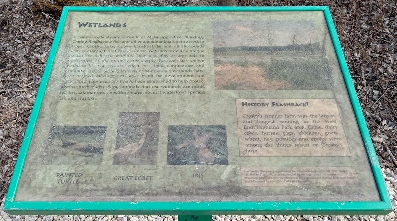
1. Wetlands Marker
Crosby's wetlands are a result of Mississippi River flooding. During floods, new fish and other aquatic animals gain access to Upper Crosby Lake, Lower Crosby Lake and all the ponds scattered throughout Crosby's forest. Wetlands provide a unique habitat for fish and wildlife. They also play a large role in purification of the groundwater supply. Research has shown wetlands have a positive effect on local temperature and humidity. Today more than 40% of Minnesota's wetlands have been drained or filled to make room for development and agriculture. However, laws have been established to help protect against further loss. Some animals that use wetlands are mink, red fox, salamanders, meadow voles, several waterfowl species, fish and crayfish.
Painted turtle • Great egret • Iris
History Flashback!
Crosby's frontier farm was the largest and longest running in the West End/Highland Park area. Cattle, dairy cows, horses, pigs, chickens, goats, wheat, hay, potatoes and apples were among the things raised on Crosby's farm.
Funding for this project approved by the Minnesota Legislature, Ml. 1997, Chapter 216, Sec. 15, Subd. 13k, as recommended by the Legislative Commission on Minnesota Resources from the Minnesota Environmental and Natural Resources Trust Fund. Prepared by Saint Paul Parks and Recreation.
Erected by Saint
this page online
Topics. This historical marker is listed in these topic lists: Agriculture • Environment • Waterways & Vessels.
Location. 44° 53.958′ N, 93° 9.695′ W. Marker is in Saint Paul, Minnesota, in Ramsey County. It is in Highland Park. It can be reached from Shepard Road. The marker is in Crosby Farm Regional Park, at a T-intersection at the west end of Upper Crosby Lake. Touch for map. Marker is in this post office area: Saint Paul MN 55116, United States of America. Touch for directions.

Regionally, this marker is in the Twin Cities Metropolitan Area. It is also in the American Midwest, in the Corn Belt, and in the Great River Road Region. Globally, it is in North America, the Western Hemisphere, the Western World, and the Anglosphere. Historically, it finds itself in what was once Rupert’s Land, the territory of the Mississippian Culture, and the Louisiana Purchase.
Other nearby markers. At least 8 other markers are within walking distance of this marker: Explore Your Mississippi (a few steps from this marker); Prairies (about 500 feet
Photographed by McGhiever, August 23, 2025
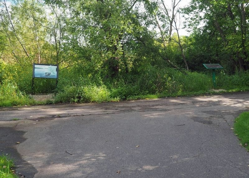
2. Wetlands Marker (right) in Crosby Farm Regional Park
Credits. This page was last revised on August 30, 2025. It was originally submitted on August 24, 2025, by McGhiever of Minneapolis, Minnesota. This page has been viewed 93 times since then and 16 times this year. Photos: 1. submitted on August 24, 2025, by McGhiever of Minneapolis, Minnesota. 2. submitted on August 23, 2025, by McGhiever of Minneapolis, Minnesota.
