
Near Fruita in Wayne County, Utah — The American Mountains (Southwest)
The Price of a Promise
Photographed by Tom Bosse, June 11, 2025
1. The Price of a Promise Marker
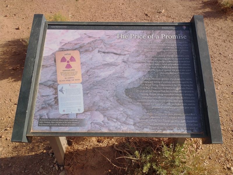
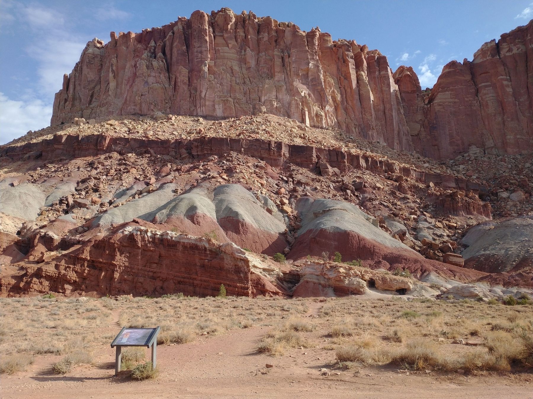
The thin band of yellow-gray rock before you tempted the nation with promises. This is the Shinarump Member of the Chinle Formation, a layer of ancient, river-deposited sandstone containing trace amounts of uranium.
Lured by the promise of health and profits, early prospectors began searching here for uranium in 1904. Originally, uranium was thought to have valuable medicinal properties against rheumatism and other ailments. Radioactive ore from these mines was packed into pouches and worn around the neck, or crutches and mixed into water and consumed as a “health tonic”. Uranium offered the promise of protecting the nation. Exploration and milling of uranium was encouraged by the US Atomic Energy Commission in the 1950s during the Cold War. Prospectors flocked to the Colorado Plateau. Even protected National Park Service lands were opened to mining. Despite strong opposition from park managers, companies were allowed to build roads, dig mines, and construct camps in previously undisturbed lands. Ultimately, little uranium was found here, little profit was made, and the promise of health and protection grew silent.
There
this page online
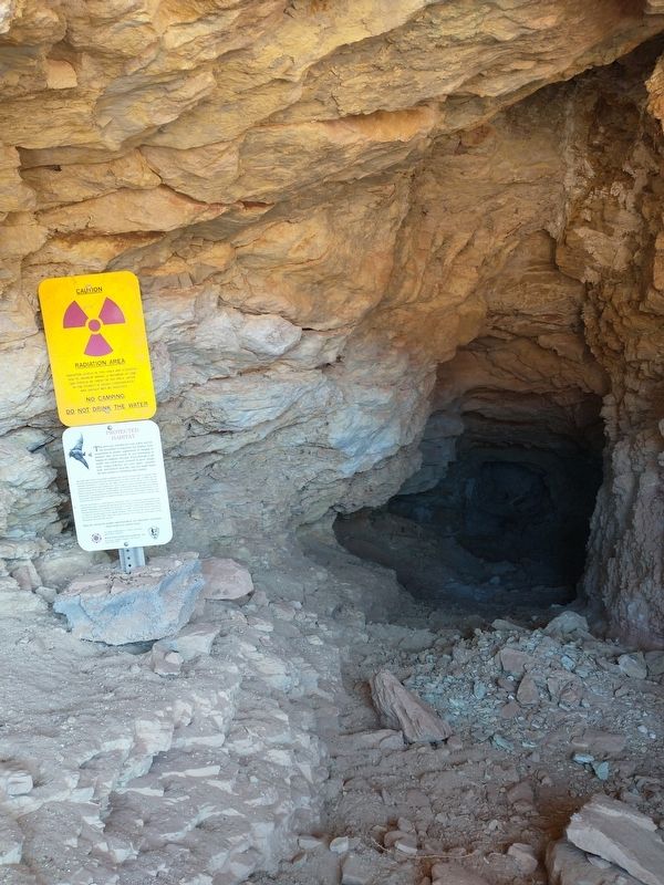
[Caption]: Radiation from uranium mines creates health and safety hazards. Signs and gates at the mine entrances keep humans protected. But what about wildlife?
Erected by U.S. Department of the Interior - Capitol Reef National Park.
Topics. This historical marker is listed in these topic lists: Environment • Industry & Commerce • Parks & Recreational Areas • War, Cold. A significant historical year for this entry is 1904.
Location. 38° 15.493′ N, 111° 13.898′ W. Marker is near Fruita, Utah, in Wayne County. It is on East Grand Wash Road, on the left when traveling east. Marker is located within Capitol Reef National Park. Touch for map. Marker is in this post office area: Torrey UT 84775, United States of America. Touch for directions.

Regionally, this marker is in Canyon Country. It is also in the American Mountain West, on the Colorado

Photographed by Tom Bosse, June 11, 2025
2. The Price of a Promise Marker
Other nearby markers. At least 8 other markers are within 3 miles of this marker, measured as the crow flies: Exploring Scenic Drive (approx. 1.7 miles away); Pendleton-Jorgenson-Gifford Barn Story (approx. 1.9 miles away); Living Off the Land (approx. 2 miles away); Silent Sentinels (approx. 2.1 miles away); Farming the Fremont (approx. 2.1 miles away); It's Alive! (approx. 2.1 miles away); Holt Orchard (approx. 2.1 miles away); The Giving Groves (approx. 2.1 miles away). Touch for a list and map of all markers in Fruita.

Photographed by Tom Bosse, June 11, 2025
3. Oyler Mine
Photographed by Tom Bosse, June 11, 2025
4. Oyler Mine
Credits. This page was last revised on August 29, 2025. It was originally submitted on August 28, 2025, by Tom Bosse of Jefferson City, Tennessee. This page has been viewed 110 times since then and 24 times this year. Photos: 1, 2, 3, 4. submitted on August 28, 2025, by Tom Bosse of Jefferson City, Tennessee. • Andrew Ruppenstein was the editor who published this page.
