Mendenhall Valley in Juneau in Juneau Borough, Alaska — Northwest (North America)
Looking Back
Trail of Time
| — | Tongass National Forest | — |
Photographed by Thomas Smith, August 10, 2025
1. Looking Back Marker
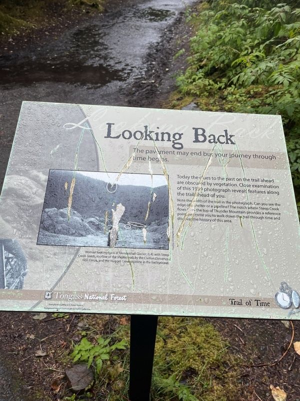
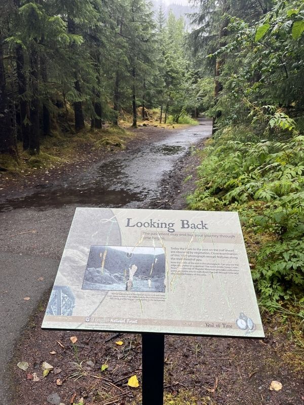
The pavement may end but your journey through time begins.
Today the cues to the past on the trail ahead are obscured by vegetation. Close examination of this 1939 photograph reveals features along the trail head of you.
Note the width of the trail in the photograph. Can you see the edge of shelter or a pipeline? The notch where Steep Creek flows or the top of Thunder Mountain provides a reference point invite you to walk down the trail through time and discover the history of this area.
[Caption:]
Woman looking back at Mendenhall Glacier - (L- R) with Steep Creek notch, roofline of the shelter built by the Civilian Conservation Corps, and the Nugget Creek pipeline in the background
Erected by Forest Service, U.S. Department of Agriculture.
Topics. This historical marker is listed in these topic lists: Environment • Natural Features • Parks & Recreational Areas. A significant historical year for this entry is 1937.
Location. 58° 24.789′ N, 134° 32.706′ W. Marker is in Juneau, Alaska, in Juneau Borough. It is in Mendenhall Valley. It is at the intersection of East Glacier Trail and Glacier Spur
this page online

Regionally, this marker is in Southeast Alaska, in Tlingit and Haida & Tsimshian Region. It is also on the American Pacific Coast. Globally, it is in North America, in the Inside Passage, on the Pacific Rim, in the Western Hemisphere, in the Western World, and in the Anglosphere. Historically, it finds itself in what was once the Russian Empire.
Other nearby markers. At least 8 other markers are within walking distance of this marker: A Flat Spot in the Forest (here, next to this marker); Presidential Party Visits Glacier (here, next to this marker); Water from a Rock (here, next to this marker); A View in Time (here, next to this marker); Built to Last (here, next to this marker); Changing Views (here, next to this marker); Power in a Pipe (here, next to this marker); Naturally Designed for Salmon (approx. 0.2 miles away). Touch for a list and map of all markers in Juneau.
Photographed by Thomas Smith, August 10, 2025
2. Looking Back Marker

Photographed by Bill Coughlin, September 1, 2026
3. Looking Back Marker
Credits. This page was last revised on September 16, 2026. It was originally submitted on August 29, 2025, by Thomas Smith of Waterloo, Ill. This page has been viewed 75 times since then and 17 times this year. Photos: 1, 2. submitted on August 29, 2025, by Thomas Smith of Waterloo, Ill. 3. submitted on September 13, 2026, by Bill Coughlin of Woodland Park, New Jersey. • Devry Becker Jones was the editor who published this page.
