Huntington in Huntington County, Indiana — The American Midwest (Great Lakes)
Huntington's Ford and First Bridge
⎯⎯⎯
Huntington's Buildings Over the River
Photographed by Willard McKinzie, July 27, 2011
1. Huntington's Ford and First Bridge Marker
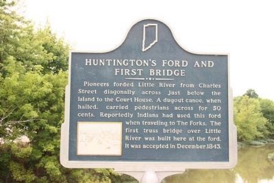
Huntington's Ford and First Bridge. Pioneers forded Little River From Charles Street diagonally across just below the Island to the Court House. A dugout canoe, when hailed, carried pedestrians across for 50 cents. Reportedly Indians had used this ford when traveling to The Forks. The first truss bridge over the Little River was built here at the ford. It was accepted in December 1843.
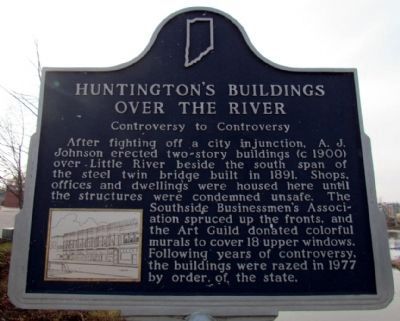
Huntington's Buildings Over the River. Controversy to Controversy. After fighting off a city injunction, A.J. Johnson erected two-story buildings (c 1900) over Little River beside the south span of the steel twin bridge built in 1891. Shops, offices and dwellings were housed here until the structures were condemned unsafe. The Southside Businessmen's Association spruced up the fronts, and the Art Guild donated colorful murals to cover 18 upper windows. Following years of controversy, the buildings were razed in 1977 by order of the state.
Erected by Huntington County Historical Society. (Marker Number 35.1979.3.)
Topics and series. This historical marker is listed in these topic lists: Indigenous Peoples and Communities •
this page online
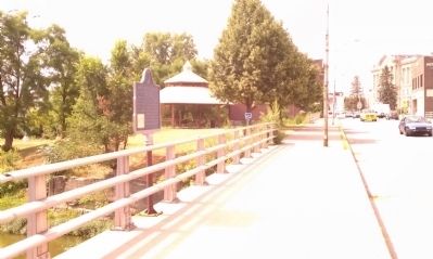
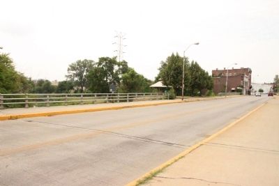
Location. 40° 52.777′ N, 85° 29.604′ W. Marker is in Huntington, Indiana, in Huntington County. It is on Jefferson St. 0.1 miles north of Riverside Dr., on the right when traveling south. This marker is located in the middle of the South span, West side, of the twin bridges on Jefferson St. Touch for map. Marker is in this post office area: Huntington IN 46750, United States of America. Touch for directions.

Regionally, this marker is in Northern Indiana. It is also in the American Midwest and in the Corn Belt. Globally, it is in North America, the Western Hemisphere, the Western World, and the Anglosphere. Historically, it finds itself in what was once the territory of the Mississippian Culture and also the Northwest Territory.
Other nearby markers. At least 8 other markers are within walking distance of this marker: Samuel Huntington (about 500 feet away, measured in a direct line); James Danforth Quayle (about 500 feet away);
Photographed by Duane Hall, November 14, 2012
2. Huntington's Buildings Over the River
Photographed by Willard McKinzie, July 22, 2011
3. Huntington's Ford and First Bridge Marker
Photographed by Willard McKinzie, July 27, 2011
4. Huntington's Ford and First Bridge Marker
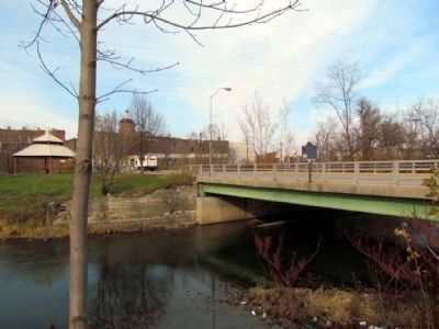
Photographed by Duane Hall, November 14, 2012
5. View of marker from the bank of the Little River
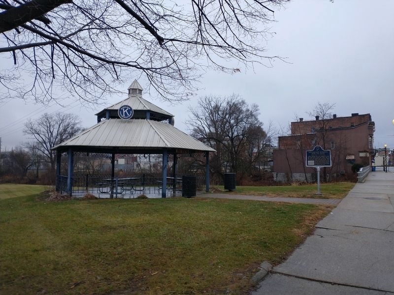
Photographed by Craig Doda, November 27, 2022
6. Huntington's Ford and First Bridge / Huntington's Buildings Over the River Marker
At its new location. Near the old location.
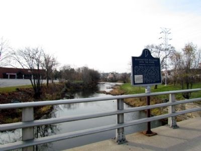
Photographed by Duane Hall, November 14, 2012
7. View of marker on the bridge
Credits. This page was last revised on October 2, 2025. It was originally submitted on July 22, 2011, by Willard McKinzie of Huntington, Indiana. This page has been viewed 1,376 times since then and 58 times this year. Last updated on August 30, 2025, by Trevor L Whited of Kokomo, Indiana. Photos: 1. submitted on July 27, 2011, by Willard McKinzie of Huntington, Indiana. 2. submitted on November 18, 2012, by Duane Hall of Abilene, Texas. 3. submitted on July 22, 2011, by Willard McKinzie of Huntington, Indiana. 4. submitted on July 27, 2011, by Willard McKinzie of Huntington, Indiana. 5. submitted on November 18, 2012, by Duane Hall of Abilene, Texas. 6. submitted on November 29, 2022, by Craig Doda of Napoleon, Ohio. 7. submitted on November 18, 2012, by Duane Hall of Abilene, Texas. • Devry Becker Jones was the editor who published this page.
