
Niagara-on-the-Lake in Niagara Region, Ontario — Central Canada (North America)
Niagara Baptist Church Burial Ground
Lieu De Sépulture De L'Église Baptiste De Niagara
Photographed by Kevin Westell, August 31, 2025
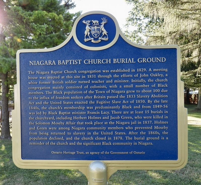
1. Niagara Baptist Church Burial Ground - Marker

Niagara Baptist Church Burial Ground
The Niagara Baptist Church congregation was established in 1829. A meeting house was erected at this site in 1831 through the efforts of John Oakley, a white former British soldier turned teacher and minister. Initially, the church congregation mainly consisted of colonists, with a small number of Black members. The Black population of the Town of Niagara grew to about 100 due to the influx of freedom seekers after Britain passed the 1833 Slavery Abolition Act and the United States enacted the Fugitive Slave Act of 1850. By the late 1840s, the church's membership was predominantly Black and from 1849-56 was led by Black Baptist minister Francis Lacy. There are at least 15 burials in the churchyard, including Herbert Holmes and Jacob Green, who were killed in the Solomon Moseby Affair that took place at the Niagara jail in 1837. Holmes and Green were among Niagara community members who prevented Moseby from being returned to slavery in the United States. After the 1860s, the population declined, and the church closed in 1878. The burial ground is a reminder of the church and the significant Black community in Niagara.
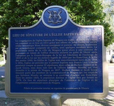
Lieu De Sépulture De L'Église Baptiste De Niagara
La congrégation de l'église baptiste de Niagara est établie en 1829. Un temple est construit en ce lieu en 1831 grâce aux efforts de John Oakley, un ancien soldat britannique blanc devenu enseignant et pasteur. Au départ, la paroisse est principalement composée de colons, avec quelques membres noirs. La population noire de la ville de Niagara passe alors à une centaine de personnes en raison de l'afflux d'anciens esclaves en quête de liberté après l'adoption par la Grande-Bretagne de la loi sur l'abolition de l'esclavage de 1833 et de la loi sur les esclaves fugitifs de 1850 par les États-Unis. À la fin des années 1840, les fidèles de l'église sont majoritairement noirs et, de 1849 à 1856, l'église est présidée par le pasteur baptiste noir Francis Lacy. L'enclos paroissial compte au moins 15 sépultures, dont celles de Herbert Holmes et de Jacob Green, tous deux tués lors de l'affaire Solomon Moseby, qui s'est déroulée à la prison de Niagara en 1837. Herbert Holmes et Jacob Green faisaient partie des membres de la communauté de Niagara qui ont empêché que Solomon Moseby ne retourne à sa condition d'esclave aux États-Unis. Dans les années 1860, la population diminue et l'église finit par fermer en 1878. Ce lieu de sépulture témoigne de l'existence de l'église et de l'importante communauté noire de Niagara.
Erected 2023
this page online
Topics and series. This historical marker is listed in these topic lists: Abolition & Underground RR • African Americans • Cemeteries & Burial Sites • Religion & Religious Structures. In addition, it is included in the Canada, Ontario Heritage Trust series list. A significant historical year for this entry is 1829.
Location. 43° 15.135′ N, 79° 5.057′ W. Marker is in Niagara-on-the-Lake, Ontario, in Niagara Region. It is on Mississagua Street (Regional Rd 55), on the right when traveling north. The marker is on a property (a burial ground, with 2 gravestones) beside a Subway restaurant. Touch for map. Marker is at or near this postal address: 494 Mississagua Street (Regional Rd 55), Niagara-on-the-Lake ON L0S 1J0, Canada. Touch for directions.

Regionally, this marker is on Ontario’s Golden Horseshoe and in Niagara Canada. It is also in Central Canada. Globally, it is in North America, the Western Hemisphere, the Western World, and the Anglosphere. Historically, it finds itself in what was once a British colony, the Viceroyalty of New France, the Haudenosaunee (Iroquois)
Photographed by Kevin Westell, August 31, 2025
2. Niagara Baptist Church Burial Ground - Marker reverse, in French
Other nearby markers. At least 8 other markers are within walking distance of this marker: The Upper Canadian Act Against Slavery (1793) (a few steps from this marker); William and Susannah Steward House (about 180 meters away, measured in a direct line); Memorial Cairn For John Butler (approx. 0.4 kilometers away); Lieutenant-Colonel John Butler 1725-1796 (approx. half a kilometer away); St. Andrew's Church (approx. half a kilometer away); Butler's Burial Ground (approx. half a kilometer away); 1813 - 2013 (approx. half a kilometer away); The Claus Family Crypt / La crypté de la famille Claus (approx. half a kilometer away). Touch for a list and map of all markers in Niagara-on-the-Lake.
Another marker is no longer nearby. Negro Burial Ground (was here, next to this marker but has been confirmed missing).
More about this marker. This marker recently replaced a 1957 marker (HMDB entry 75862, "Negro Burial Ground 1830").
Regarding Niagara Baptist Church Burial Ground. The 2 gravestones near the marker are genuine gravestones (not props).

Photographed by Kevin Westell, August 31, 2025
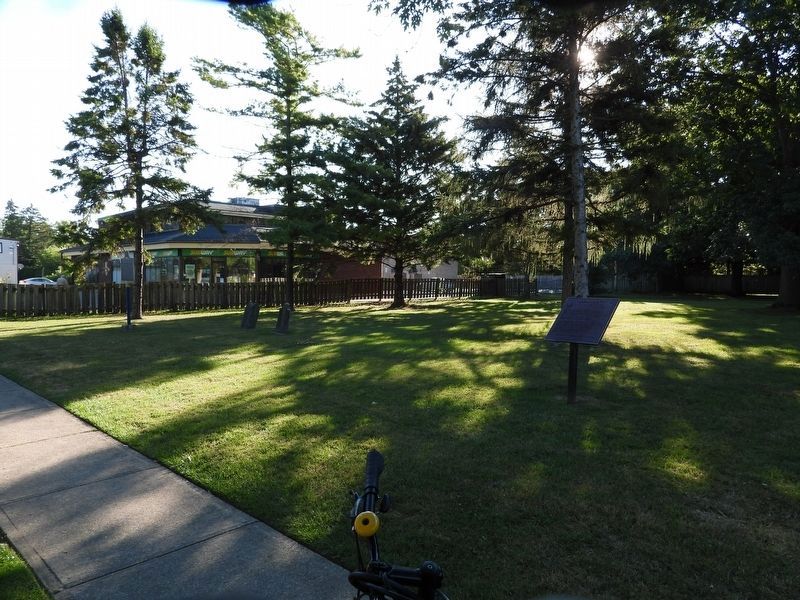
3. Niagara Baptist Church Burial Ground - Marker in context
Photo faces south-east from the road's sidewalk. The marker is 4 metres from the sidewalk, close to the property on the north-east (left) side - currently a Subway restaurant.
Photographed by Kevin Westell, August 31, 2025
4. Niagara Baptist Church Burial Ground
Photo faces north, diagonally across the property (as the road-grid is twisted 45 degrees from cardinal directions). This plaque is the far one (just left of the left-most tree); the near one (right) is a maroon federal plaque.
Credits. This page was last revised on September 1, 2025. It was originally submitted on August 31, 2025, by Kevin Westell of St. Catharines, Ontario. This page has been viewed 85 times since then and 14 times this year. Photos: 1, 2, 3, 4. submitted on August 31, 2025, by Kevin Westell of St. Catharines, Ontario. • Andrew Ruppenstein was the editor who published this page.
