Bergen Beach in Brooklyn in Kings County, New York — The American Northeast (Mid-Atlantic)
Bergen Beach Playground
.927 acre
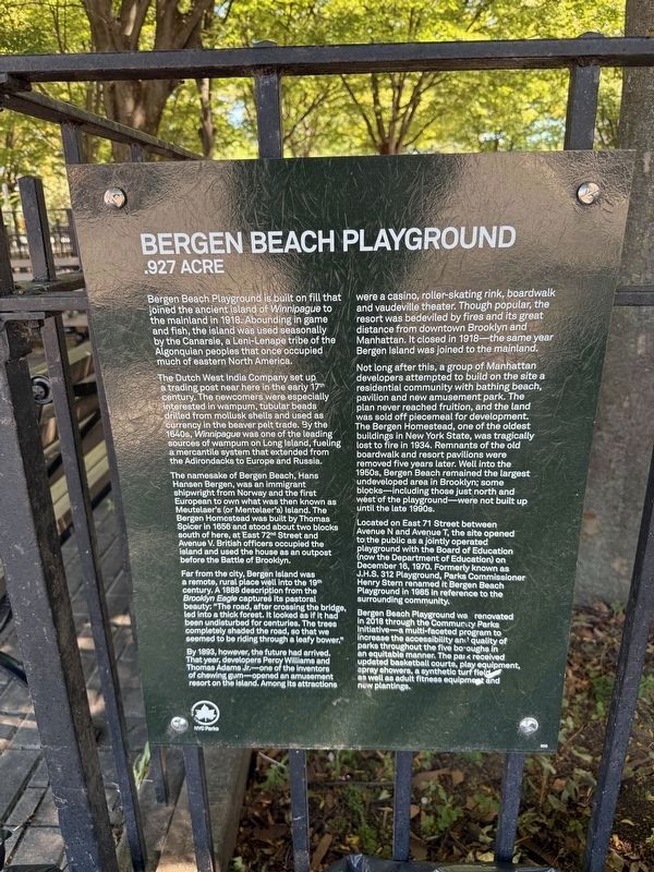
Bergen Beach Playground is built on fill that joined the ancient island of Winnipague to the mainland in 1918. Abounding in game and fish, the island was used seasonally by the Canarsie, a Leni-Lenape tribe of the Algonquian peoples that once occupied much of eastern North America.
The Dutch West India Company set up a trading post near here in the early 17th century. The newcomers were especially interested in wampum, tubular beads drilled from mollusk shells and used as currency in the beaver pelt trade. By the 1640s, Winnipague was one of the leading sources of wampum on Long Island, fueling a mercantile system that extended from the Adirondacks to Europe and Russia.
The namesake of Bergen Beach, Hans Hansen Bergen, was an immigrant shipwright from Norway and the first European to own what was then known as Meutelaer's (or Mentelaer's) Island. The Bergen Homestead was built by Thomas Spicer in 1656 and stood about two blocks south of here, at East 72nd Street and Avenue V. British officers occupied the island and used the house as an outpost before the Battle of Brooklyn.
Far from the city, Bergen Island was
this page online
By 1893, however, the future had arrived. That year, developers Percy Williams and Thomas Adams Jr.—one of the inventors of chewing gum—opened an amusement resort on the island. Among its attractions were a casino, roller-skating rink, boardwalk and vaudeville theater. Though popular, the resort was bedeviled by fires and its great distance from downtown Brooklyn and Manhattan. It closed in 1918—the same year Bergen Island was joined to the mainland.
Not long after this, a group of Manhattan developers attempted to build on the site a residential community with bathing beach, pavilion and new amusement park. The plan never reached fruition, and the land was sold off piecemeal for development. The Bergen Homestead, one of the oldest buildings in New York State, was tragically lost to fire in 1934. Remnants
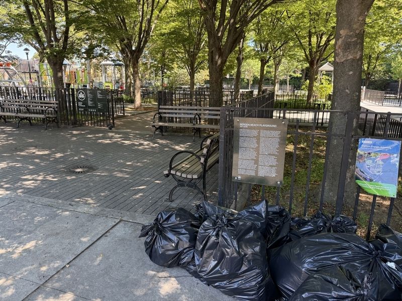
Located on East 71 Street between Avenue N and Avenue T, the site opened to the public as a jointly operated playground with the Board of Education (now the Department of Education) on December 16, 1970. Formerly known as J.H.S. 312 Playground, Parks Commissioner Henry Stern renamed it Bergen Beach Playground in 1985 in reference to the surrounding community.
Bergen Beach Playground was renovated in 2018 through the Community Parks Initiative – a multi-faceted program to increase the accessibility and quality of parks throughout the five boroughs in an equitable manner. The park received updated basketball courts, play equipment, spray showers, a synthetic turf field, as well as adult fitness equipment and new plantings.
Erected by NYC Parks. (Marker Number 300.)
Topics and series. This historical marker is listed in these topic lists: Indigenous Peoples and Communities
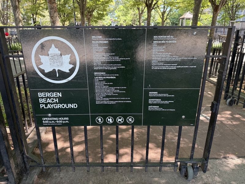
Location. 40° 37.331′ N, 73° 54.593′ W. Marker is in Brooklyn, New York, in Kings County. It is in Bergen Beach. It is on East 71st Street north of Avenue T, on the right when traveling north. Touch for map. Marker is at or near this postal address: 7101 Avenue T, Brooklyn NY 11234, United States of America. Touch for directions.

Regionally, this marker is in New York City and on Long Island. It is also in the American Northeast, in the Mid-Atlantic, and on the Eastern Seaboard. Globally, it is in the North Atlantic Region, North America, the Western Hemisphere, the Western World, and the Anglosphere. Historically, it finds itself in what was once New Netherland and also one of the original Thirteen Colonies.
Other nearby markers. At least 8 other markers are within 2 miles of this marker, measured as the crow flies: Father P. Kenny Triangle (approx. 0.2 miles away); Msgr. Thomas C. Clancy (approx. 0.2 miles away); Fr. Michael J. McGivney (approx. 0.2 miles away); Barone Triangle (approx. 0.2 miles away); Floyd Bennett Post # 1060 (approx. 0.6 miles away); Firefighter Gregory T. Saucedo Triangle (approx. 0.7 miles away); Thomas F Norton (approx. 1.3 miles away); Robert J Crawford (approx. 1.3 miles away). Touch for a list and map of all markers in Brooklyn.
Credits. This page was last revised on September 4, 2025. It was originally submitted on September 4, 2025, by Devry Becker Jones of Washington, District of Columbia. This page has been viewed 95 times since then and 33 times this year. Photos: 1, 2, 3. submitted on September 4, 2025, by Devry Becker Jones of Washington, District of Columbia.
