Dolores in Montezuma County, Colorado — The American Mountains (Southwest)
The Anasazi
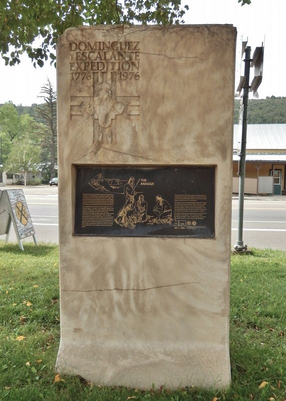
Dominguez y Escalante Expedition • 1776-1976
Photographed by Cosmos Mariner, July 17, 2025
1. The Anasazi Marker
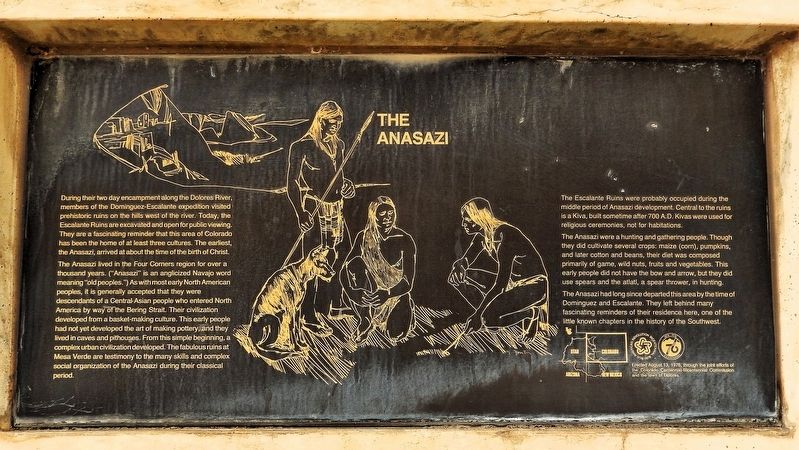
During their two day encampment along the Dolores River, members of the Dominguez-Escalante expedition visited prehistoric ruins on the hills west of the river. Today, the Escalante Ruins are excavated and open for public viewing. They are a fascinating reminder that this area of Colorado has been the home of at least three cultures. The earliest, the Anasazi, arrived at about the time of the birth of Christ.
The Anasazi lived in the Four Corners region for over a thousand years. (“Anasazi” is an anglicized Navajo word meaning “old peoples.”) As with most early North American peoples, it is generally accepted that they were descendants of a Central Asian people who entered North America by way of the Bering Strait. Their civilization developed from a basket-making culture. This early people had not yet developed the art of making pottery, and they lived in caves and pithouses. From this simple beginning, a complex urban civilization developed. The fabulous ruins at Mesa Verde are testimony to the many skills and complex social organization of the Anasazi during their classical period.
The Escalante Ruins were probably occupied
this page online
The Anasazi were a hunting and gathering people. Though they did cultivate several crops: maize (corn), pumpkins, and later cotton and beans, their diet was composed primarily of game, wild nuts, fruits and vegetables. This early people did not have the bow and arrow, but they did use spears and the atlatl, a spear thrower, in hunting.
The Anasazi had long since departed this area by the time of Dominguez and Escalante. They left behind many fascinating reminders of their residence here, one of the little known chapters in the history of the Southwest.
Erected 1976 by The Colorado Centennial-Bicentennial Commission and the town of Dolores.
Topics and series. This historical marker is listed in these topic lists: Anthropology & Archaeology • Exploration • Hispanic Americans • Indigenous Peoples and Communities. In addition, it is included in the Dominguez y Escalante Expedition, and the The Spirit of ’76, America’s Bicentennial Celebration
Photographed by Cosmos Mariner, July 17, 2025
2. The Anasazi Marker
Location. 37° 28.407′ N, 108° 30.198′ W. Marker is in Dolores, Colorado, in Montezuma County. It is at the intersection of Railroad Avenue (State Highway 145) and 5th Street, on the left when traveling east on Railroad Avenue. The marker is located near the southeast corner of Flanders Park. Touch for map. Marker is at or near this postal address: 421 Railroad Avenue, Dolores CO 81323, United States of America. Touch for directions.

Regionally, this marker is in the American Mountain West, on the Colorado Plateau, and at the Four Corners. Globally, it is in North America, the Rocky Mountains, the Western Hemisphere, the Western World, and the Anglosphere. Historically, it finds itself in what was once the territory of the Ancestral Puebloans and also Mexico’s Alta California.
Other nearby markers. At least 8 other markers are within 3 miles of this marker, measured as the crow flies: Respite Along the Dolores (here, next to this marker); Galloping Goose #5 (a few steps from this marker); Galloping Geese of the Rio Grande Southern Railroad (within shouting distance
Photographed by Cosmos Mariner, July 17, 2025
3. The Anasazi Marker
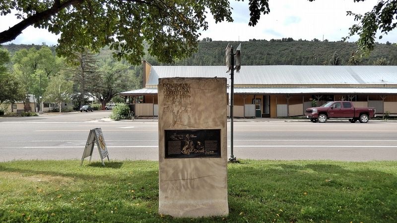
Looking south from Flanders Park; Railroad Avenue crosses in the background.
Related markers. Click here for a list of markers that are related to this marker.
Also see . . .
1. Domínguez–Escalante Expedition (Wikipedia).
Excerpt: Escalante and Domínguez Pueblos, August 13, 1776: Near present-day Dolores, Escalante and Domínguez found and recorded Ancestral Puebloan ruins in southwestern Colorado, the first white men to do so. Escalante Pueblo and Domínguez Pueblos, named for them, are included within the Anasazi Heritage Center.(Submitted on September 7, 2025, by Cosmos Mariner of Cape Canaveral, Florida.)
2. Ancestral Puebloans (Wikipedia).
Excerpt: An ancient Native American culture of Pueblo peoples spanning the present-day Four Corners region of the United States, comprising southeastern Utah, northeastern Arizona, northwestern New Mexico, and southwestern Colorado. The Ancestral Puebloans lived in a range of structures that included small family pit houses, larger structures to house clans, grand pueblos, and cliff-sited dwellings for defense. They had a complex network linking hundreds of communities and population centers across the Colorado Plateau. They held a distinct knowledge of celestial sciences that found form in their architecture. The kiva, a congregational space that was used mostly for ceremonies, was an integral part of the community structure.(Submitted on September 7, 2025, by Cosmos Mariner of Cape Canaveral, Florida.)
Credits. This page was last revised on September 7, 2025. It was originally submitted on September 6, 2025, by Cosmos Mariner of Cape Canaveral, Florida. This page has been viewed 103 times since then and 36 times this year. Photos: 1, 2, 3. submitted on September 7, 2025, by Cosmos Mariner of Cape Canaveral, Florida.
