Riverdale in McLean County, North Dakota — The American Midwest (Upper Plains)
The Mandan, Hidatsa, and Arikara
Photographed by Barry Swackhamer, July 23, 2025
1. The Mandan, Hidatsa, and Arikara Marker
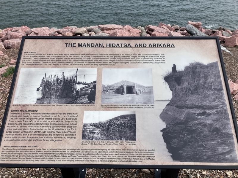
Captions: (upper left) Hidatsa fish trap, 1929; (upper center-right) Mandan earth lodge with a bull boat leaning against the threshold, ca. 1900-1910.; (lower center-right) An Arikara woman in a field of corn, ca. 1920-1929.
MHA Nation
The Mandan, Hidatsa, and Arikara, today allied as the HMA Natio, haven deep historical and cultural connections to the Missouri River. The Mandan and Hidatsa, both Siouan speaking peoples. have oral histories that tie their tribe to the entirely of the Missouri River; both groups established villages all along the river and its major tributaries. The most popular known Mandan villages were densely populated, fortified settlements located along the Heart River, west of present-day Bismarck. In the vicinity of the Knife River and what is now Stanton ND, the Hidatsa established three well known villages by the seventeenth century (today referred to as the Knife River Indian Villages), The Arikara are a Caddoan-speaking-people from south-central North America who migrated along the Missouri River, establishing villages near the Cannonball River (about a day's journey south from the Mandan) by at least the early eighteenth century.
Where to Learn More
Interested in learning more about the HMA Nation? Visit one of many cultural sites nearby to explore tribal history, art, food, and traditions! The MHA
this page online
Land Acknowledgement Statement
The US Army Corps of Engineers recognizes that the Tribes of the Missouri River basin are diverse in their histories and perspectives regarding the Missouri River. These Tribes maintain current and ancestral ties to the Missouri River and possess cultural, economic, and social interests in the river. The Garrison Dam, Lake Sakakawea, and adjacent lands under the Corps' administration are the territory of the Mandan, Hidatsa and Arikara Peoples. They were stewards of this
Photographed by Barry Swackhamer, July 23, 2025
2. The Mandan, Hidatsa, and Arikara Marker
Topics. This historical marker is listed in these topic lists: Indigenous Peoples and Communities • Man-Made Features • Waterways & Vessels.
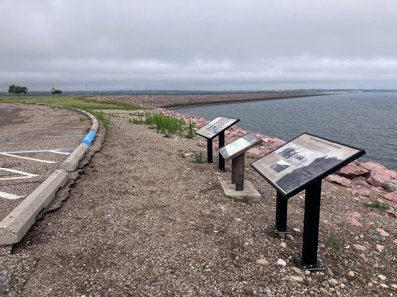
Location. 47° 29.554′ N, 101° 23.541′ W. Marker is in Riverdale, North Dakota, in McLean County. It is on State Highway 200 near West Missouri Drive, on the right when traveling west. The marker is located at the Garrison Dan Overlook. Touch for map. Marker is in this post office area: Riverdale ND 58565, United States of America. Touch for directions.

Regionally, this marker is in the Mandan, Hidatsa, and Arikara Nation, in the Standing Rock Sioux Tribe, in the Drift Prairie, and on the Missouri Plateau. It is also in the American Lewis & Clark Corridor, on the prairies, and on the Northern Plains. Globally, it is in North America, the Western Hemisphere, the Western World, and the Anglosphere. Historically, it finds itself in what was once Rupert’s Land and also the Louisiana Purchase.
Other nearby markers. At least 8 other markers are within 3 miles of this marker, measured as the crow flies: Garrison Dam Overlook (here, next to this marker); Displaced Communities (here, next to this marker); Growing out of the wheat fields and many have since returned. (within shouting distance of this marker); Taming the mighty Missouri by building the world's largest rolled earth dam of its time. (within shouting distance of this marker); The Spillway Bridge is often believed to be "the dam", (about 400 feet away, measured in a direct line); Riverdale (about 500 feet away); Powerhouse (approx. 2.1 miles away); Garrison Dam (approx. 2.1 miles away). Touch for a list and map of all markers in Riverdale.
Credits. This page was last revised on September 9, 2025. It was originally submitted on September 9, 2025, by Barry Swackhamer of Brentwood, California. This page has been viewed 115 times since then and 27 times this year. Photos: 1, 2. submitted on September 9, 2025, by Barry Swackhamer of Brentwood, California.
