Grimsby in Niagara Region, Ontario — Central Canada (North America)
The Grimsby Beach Waterfront
Grimsby Nature

Photographed by Tim Boyd, June 15, 2024
1. The Grimsby Beach Waterfront Marker
For more than 75 years, the Grimsby Beach waterfront was a summer wonderland and a major destination for people in Southern Ontario and Upstate New York.
It all began in 1848, when the Ancaster Methodist Circuit first held their temperance meeting in a clearing of trees on John Bowslaugh's lakeshore property. By 1859, Grimsby Park (later known as Grimsby Beach) became a permanent Methodist Campground. At first, narrow tent lots were laid out in a circle around rows of benches and a small speakers' platform. The camp grew gradually and by 1874, permanent cottages were built on the tent sites. Two fine hotels, Park House and Lakeview House, were later built to accommodate the ever increasing number of visitors to the summer resort.
Through the end of the nineteenth century and into the early twentieth century, summers at Grimsby Beach looked like a picturesque scene of a postcard. A wide array of summer activities could be enjoyed on the Lake Ontario waterfront. Its affluent visitors took strolls along the beach, bathed and played in the water, used the recreational rowboats, and fished off of the pier. Fishing enthusiasts
this page online
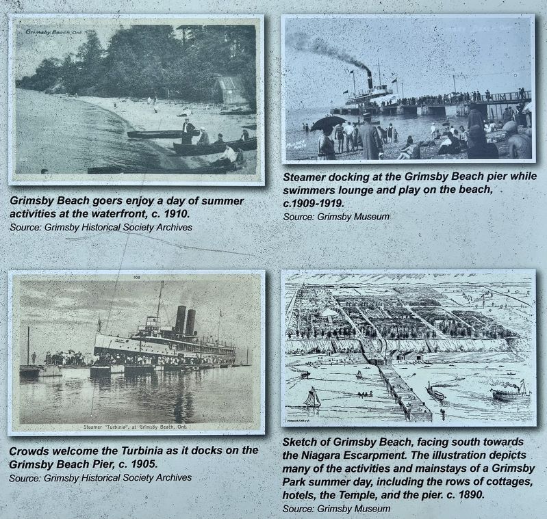
Cottagers could also enjoy watching the ships that docked at the pier. After a steamship service between Toronto and Grimsby Beach was established in the 1880s, steamers carrying excited visitors were regular sights. They would often be greeted by large crowds waiting on the pier. Some of the more popular steamers to call at Grimsby Beach were the Northumberland (built in 1891) and the Turbinia (built in 1904).
When H.H. Wylie of Clevand, Ohio purchased the area in 1909, he brought an invigorated, livelier atmosphere to Grimsby Beach. A large dance hall was built down by the lake, at the base of Park Road. Musicians performed the favourite sounds of the time and people would come to dance through the night.
Though Grimsby Beach has undergone much change since its heyday, its enduring picturesque charm provides a glimpse into the summer wonderland that once was.
Erected by Town of Grimsby.
Topics. This historical marker is listed in these topic lists: Entertainment • Parks & Recreational Areas • Religion & Religious Structures
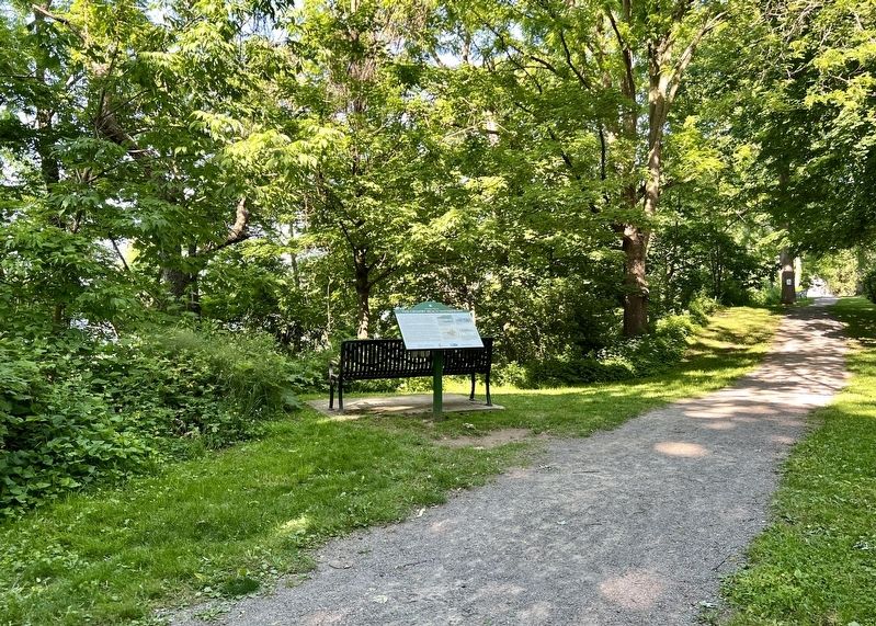
Photographed by Tim Boyd, June 15, 2024
2. The Grimsby Beach Waterfront Marker
Location. 43° 11.695′ N, 79° 31.547′ W. Marker is in Grimsby, Ontario, in Niagara Region. It is at the intersection of Temple Lane and Wesley St, on the right when traveling west on Temple Lane. The marker is 30 metres north of Temple Lane, on a walking path named Victoria Terrace (that runs east-west, parallel to Temple Lane). An empty lot (between 27 and 31 Temple Lane) makes the marker visible from Temple Lane. Touch for map. Marker is at or near this postal address: 27 Temple Lane, Grimsby ON L3M 2E6, Canada. Touch for directions.

Regionally, this marker is on the Golden Horseshoe and in Niagara Canada. It is also in Central Canada. Globally, it is in North America, on the Great Lakes, in the Western Hemisphere, in the Western World, and in the Anglosphere. Historically, it finds itself in what was once a British colony, the Viceroyalty of New France, the Haudenosaunee (Iroquois) Confederacy, and Rupert’s Land.
Other nearby markers. At least 8 other markers are within 3 kilometers of this marker, measured as the crow flies: Bell Park (about
Photographed by Tim Boyd, June 15, 2024
3. The Grimsby Beach Waterfront marker photos detail
Photographed by Tim Boyd, June 15, 2024
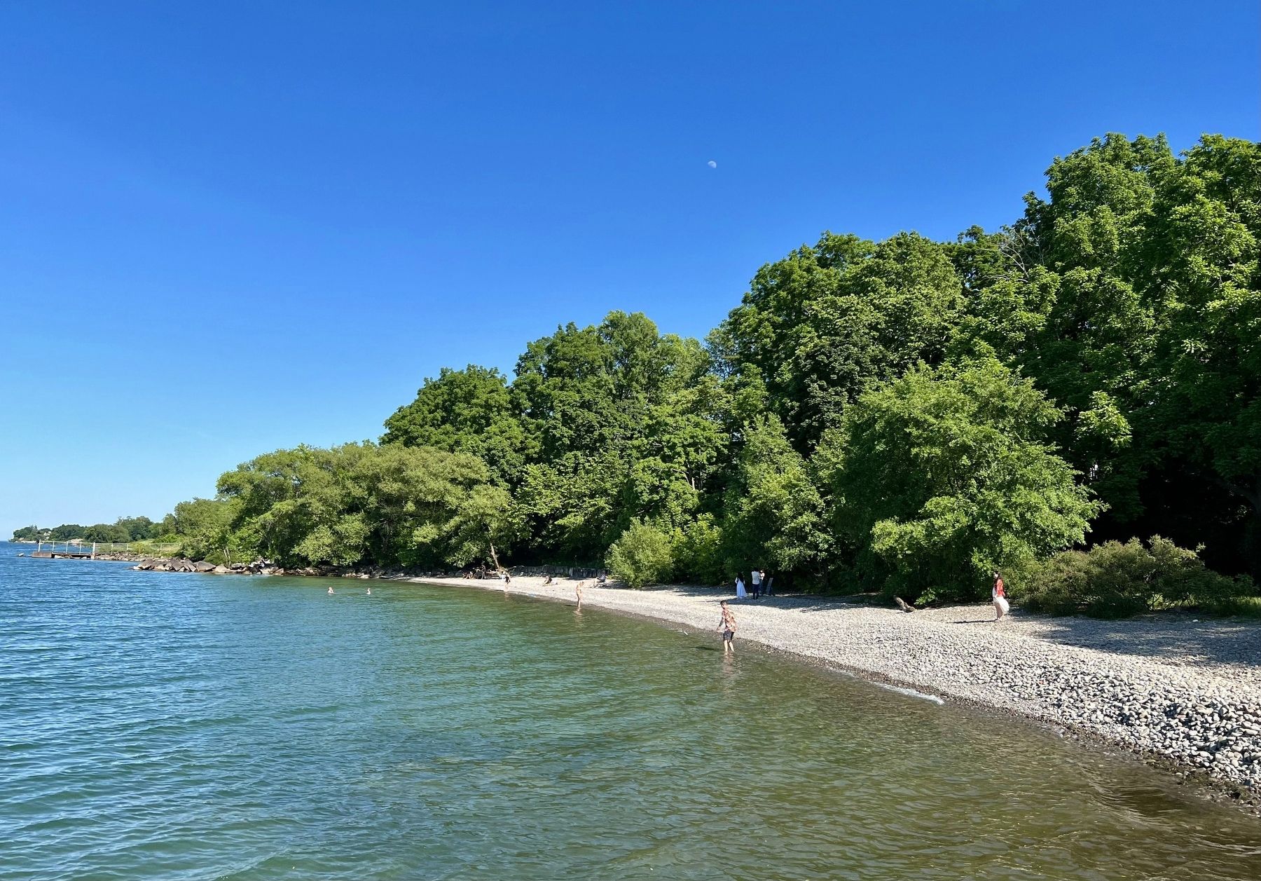
4. Grimsby Beach, 2024
Credits. This page was last revised on September 29, 2025. It was originally submitted on June 18, 2024, by Tim Boyd of Hamilton, Ontario. This page has been viewed 660 times since then and 117 times this year. Last updated on September 14, 2025, by Kevin Westell of St. Catharines, Ontario. Photos: 1, 2, 3, 4. submitted on June 18, 2024, by Tim Boyd of Hamilton, Ontario. • Devry Becker Jones was the editor who published this page.
