Greenfield in Highland County, Ohio — The American Midwest (Great Lakes)
West Settlement and Abolition Lane
Photographed by William Fischer, Jr., February 22, 2009
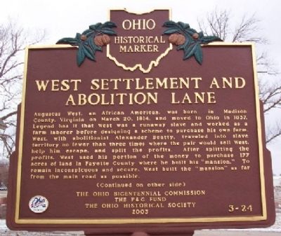
1. West Settlement and Abolition Lane Marker (Side A)
Side A:
Augustus West, an African American, was born in Madison County, Virginia on March 20, 1814, and moved to Ohio in 1837. Legend has it that West was a runaway slave and worked as a farm laborer before designing a scheme to purchase his own farm. West, with abolitionist Alexander Beatty, traveled into slave territory no fewer than three times where the pair would sell West, help him escape, and split the profits. After splitting the profits, West used his portion of the money to purchase 177 acres of land in Fayette County where he built his "mansion." To remain inconspicuous and secure, West built the "mansion" as far from the main road as possible.
(Continued on other side)
Side B:
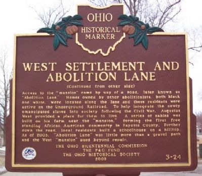
Access to the "mansion" came by way of a road, later known as "Abolition Lane." Homes owned by other abolitionists, both black and white, were located along the lane and these residents were active on the Underground Railroad. To help integrate the newly emancipated slaves into society following the Civil War, Augustus West provided a place for them to live. A series of cabins was built on his farm near the "mansion," forming the first
this page online
Erected 2003 by Ohio Bicentennial Commission, The P & G Fund, and The Ohio Historical Society. (Marker Number 3-24.)
Topics and series. This historical marker is listed in these topic lists: Abolition & Underground RR • African Americans • Agriculture • Settlements & Settlers • War, US Civil. In addition, it is included in the Ohio Historical Society / The Ohio History Connection series list. A significant historical month for this entry is March 1820.
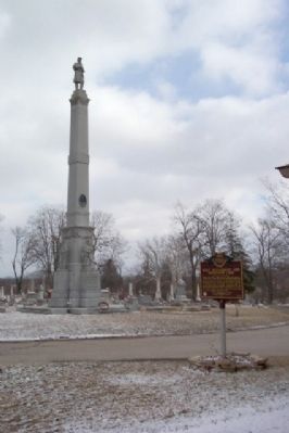
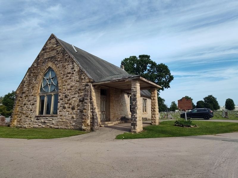
Location. 39° 21.496′ N, 83° 23.085′ W. Marker is in Greenfield, Ohio, in Highland County. It can be reached from North Washington Street. Marker is in Greenfield Cemetery, about 50 feet NW of the Civil War memorial column. Touch for map. Marker is at or near this postal address: 750 N Washington Street (Ohio Routes 41/753), Greenfield OH 45123, United States of America. Touch for directions.

Regionally, this marker is in Southern Ohio
Photographed by William Fischer, Jr., February 22, 2009
2. West Settlement and Abolition Lane Marker (Side B)
Other nearby markers. At least 8 other markers are within walking distance of this marker: Greenfield Civil War Monument (within shouting distance of this marker); Greenfield Cemetery Veterans Memorial (about 600 feet away, measured in a direct line); Birthplace of General John E. Hull (approx. 0.2 miles away); The C.R. Patterson & Sons Company (approx. 0.4 miles away); B&O and DT&I Railroad Depots (approx. 0.4 miles away); Corner Pharmacy (approx. half a mile away); The C.R. Patterson & Sons Story (approx. half a mile away); Bell Tower (approx. half a mile away). Touch for a list and map of all markers in Greenfield.
Photographed by William Fischer, Jr., February 22, 2009
3. West Settlement and Abolition Lane Marker
Civil War Memorial in background.
Photographed by Craig Doda, August 2, 2025
4. West Settlement and Abolition Lane Marker
Credits. This page was last revised on August 5, 2025. It was originally submitted on March 15, 2010, by William Fischer, Jr. of Reynoldsburg, Ohio. This page has been viewed 2,900 times since then and 92 times this year. Photos: 1, 2, 3. submitted on March 15, 2010, by William Fischer, Jr. of Reynoldsburg, Ohio. 4. submitted on August 5, 2025, by Craig Doda of Napoleon, Ohio.
