Hot Springs in Bath County, Virginia — The American South (Mid-Atlantic)
Delafield Rise
Homestead Preserve

Photographed by C. Ryan Dodson, October 31, 2025
1. Delafield Rise Marker
The Master Plan. The street pattern is built on the framework of old carriage trails and horse paths found on the site. These cross pronounced drainage runs and prominent ridge fingers run up and down the slopes. Unique conditions are found throughout the neighborhood such as three upland meadows or clearings sculpted to provide a pastoral setting within the forest and provide sunlight for north facing slopes.
The Commitment of Homestead Preserve. Homestead Preserve is situated on land that was once a part of a vast 11,500 acre tract falling under ownership of the Virginia Hot Springs Company. The company was formed in 1892 as part of an effort to
this page online
Homestead Preserve continues to honor that commitment to the landscape. When Homestead Preserve was purchased in 2002, 9,250 acres of the original 11,500-acre purchase on and around Warm Springs Mountain and the Cascades Gorge was sold to The Nature Conservancy. In October 2004, an additional 935 acres was placed into permanent conservation easements with the Virginia Outdoor Foundation.
In order to ensure Homestead Preserve's long-term dedication to natural and historical preservation, the Virginia Hot Springs Preservation Trust was created. The trust is a not-for-profit agency that provides grants for education programs, preservation of historic structures and a variety of conservation, research and management efforts.
Natural Retreats purchased the Homestead Preserve in 2013. Natural Retreats is a global vacation and travel company that also creates and manages sustainable resort and primary residential communities in some of the world's most beautiful

Photographed by C. Ryan Dodson, October 31, 2025
2. Delafield Rise Marker
Erected by Natural Retreats.
Topics. This historical marker is listed in these topic lists: Environment • Horticulture & Forestry • Parks & Recreational Areas • Science & Medicine. A significant historical year for this entry is 1892.
Location. 37° 59.619′ N, 79° 49.29′ W. Marker is in Hot Springs, Virginia, in Bath County. It is on Delafield Road 0.2 miles east of Mountain Laurel Drive, on the right when traveling east. The Marker is along the South Walking Trail on the grounds of the Omni Homestead Resort. Touch for map. Marker is at or near this postal address: 7696 Sam Snead Highway, Hot Springs VA 24445, United States of America. Touch for directions.

Regionally, this marker is in the Shenandoah Valley, in the Alleghany Highlands, and specifically in the Potomac Highlands. It is also in the American South, specifically in the Upper South, in Appalachia, and specifically in Southern Appalachia.
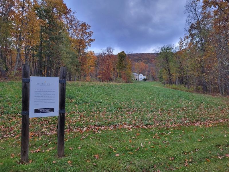
Photographed by C. Ryan Dodson, October 31, 2025
3. Delafield Rise
Other nearby markers. At least 8 other markers are within walking distance of this marker: Tulip Poplar (about 700 feet away, measured in a direct line); Flowering Dogwood (approx. 0.3 miles away); The Omni Homestead (approx. half a mile away); Hot Sulphur Spring (approx. half a mile away); Boiler Spring (approx. half a mile away); The Homestead (approx. half a mile away); Dr. William E. Skelton (approx. half a mile away); The Casino (approx. half a mile away). Touch for a list and map of all markers in Hot Springs.

Photographed by C. Ryan Dodson, October 31, 2025
4. Delafield Rise

Photographed by C. Ryan Dodson, October 31, 2025
5. The view from Delafield Rise
Photographed by C. Ryan Dodson, November 1, 2025
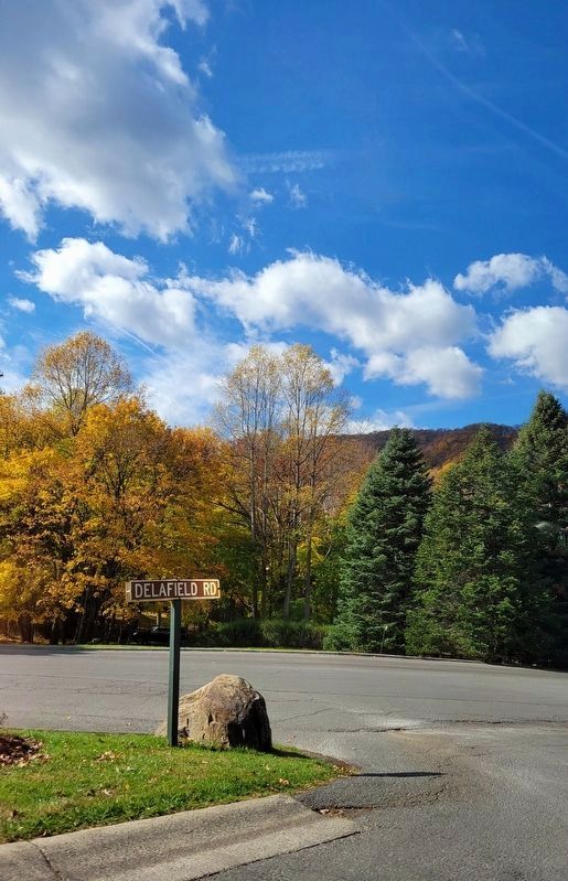
6. Delafield Road
Credits. This page was last revised on April 13, 2026. It was originally submitted on November 1, 2025, by C. Ryan Dodson of Danville, Virginia. This page has been viewed 71 times since then and 19 times this year. Photos: 1, 2, 3, 4, 5. submitted on November 1, 2025, by C. Ryan Dodson of Danville, Virginia. 6. submitted on April 10, 2026, by C. Ryan Dodson of Danville, Virginia. • Bernard Fisher was the editor who published this page.
