Solomons in Calvert County, Maryland — The American Northeast (Mid-Atlantic)
Solomons Island Bay Grasses
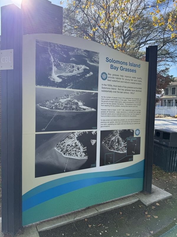
bay grasses help improve water quality, provide habitat for young fish and crabs, feed waterfowl and reduce coastal erosion.
In the 1930s, thick beds of bay grasses surrounded Solomons Island. But bay grasses have declined substantially over the last century. Why?
As the number of people living in the watershed has increased, so have nutrient concentrations in the water. These nutrients promote the growth of single-celled plants, called phytoplankton, in the water and on the bay grasses themselves. Phytoplankton block sunlight from reaching the bay grasses, causing their decline over time.
However, there is hope! In 2017, CBL researches again found bay grasses off Solomons. Large reductions in nutrients from sewage treatment plants and an extended period of low river flow appear to have provided a window of better conditions for bay grasses.
To help protect and restore bay grasses, you can reduce nutrients by planting a rain garden, reducing or eliminating the use of fertilizers on your lawn, upgrading your septic tank and reducing your greenhouse gas emissions.
Erected by University of Maryland Chesapeake
this page online
Topics. This historical marker is listed in these topic lists: Education • Environment • Science & Medicine • Waterways & Vessels. A significant historical year for this entry is 2017.
Location. 38° 19.161′ N, 76° 27.179′ W. Marker is in Solomons, Maryland, in Calvert County. It is at the intersection of Charles Street and Farren Avenue, on the right when traveling east on Charles Street. Touch for map. Marker is at or near this postal address: 180 Farren Ave, Solomons MD 20688, United States of America. Touch for directions.

Regionally, this marker is in Southern Maryland. It is also in the American South, specifically in the Upper South, in the Mid-Atlantic, in the Tidewater, in the Chesapeake Bay Region, and on the Eastern Seaboard. Globally, it is in the North Atlantic Region, North America, the Western Hemisphere, the Western World, and the Anglosphere. Historically, it finds itself in what was once one of the original Thirteen Colonies and also the Antebellum South.
Other nearby markers. At least 8 other markers are within walking distance of this marker: Parish House (here,

Credits. This page was last revised on November 2, 2025. It was originally submitted on November 2, 2025, by Devry Becker Jones of Washington, District of Columbia. This page has been viewed 43 times since then and 19 times this year. Photos: 1, 2. submitted on November 2, 2025, by Devry Becker Jones of Washington, District of Columbia.
