Cheyenne Wells in Cheyenne County, Colorado — The American Mountains (Southwest)
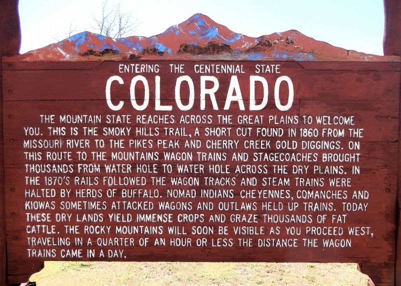
Colorado
Entering the Centennial State
Photographed by Cosmos Mariner, September 11, 2025
1. Colorado Marker
The Mountain State reaches across the Great Plains to welcome you. This is the Smoky Hills Trail, a short cut found in 1860 from the Missouri River to the Pikes Peak and Cherry Creek gold diggings. On this route to the mountains wagon trains and stagecoaches brought thousands from water hole to water hole across the dry plains. In the 1870’s rails followed the wagon tracks and steam trains were halted by herds of buffalo. Nomad Indians Cheyennes, Comanches and Kiowas sometimes attacked wagons and outlaws held up trains. Today these dry lands yield immense crops and graze thousands of fat cattle. The Rocky Mountains will soon be visible as you proceed west, traveling in a quarter of an hour or less the distance the wagon trains came in a day.
Topics. This historical marker is listed in these topic lists: Agriculture • Indigenous Peoples and Communities • Railroads & Streetcars • Roads & Vehicles. A significant historical year for this entry is 1860.
Location. 38° 48.972′ N, 102° 21.23′ W. Marker is in Cheyenne Wells, Colorado, in Cheyenne County. It is on U.S. 40 just east of West 6th Street South, on the right
this page online

Regionally, this marker is in the Eastern Plains. It is also in the American Mountain West, on the Great Plains, and specifically on the High Plains. Globally, it is in North America, the Western Hemisphere, the Western World, and the Anglosphere. Historically, it finds itself in what was once the Comanchería, the Dust Bowl, and the Louisiana Purchase.
Other nearby markers. At least 7 other markers are within 7 miles of this marker, measured as the crow flies: Cheyenne County Veterans Memorial (approx. 0.2 miles away); Cheyenne County Jail (approx. 0.3 miles away); Bandstand Replica (approx. 0.4 miles away); Cheyenne County Centennial Time Capsule (approx. 0.4 miles away); Cheyenne County Courthouse (approx. 0.4 miles away); Cheyenne County World War I Memorial (approx. 0.4 miles away); Trails West (approx. 6.2 miles away).
Related markers. Click here
Photographed by Cosmos Mariner, September 11, 2025
2. Colorado Marker
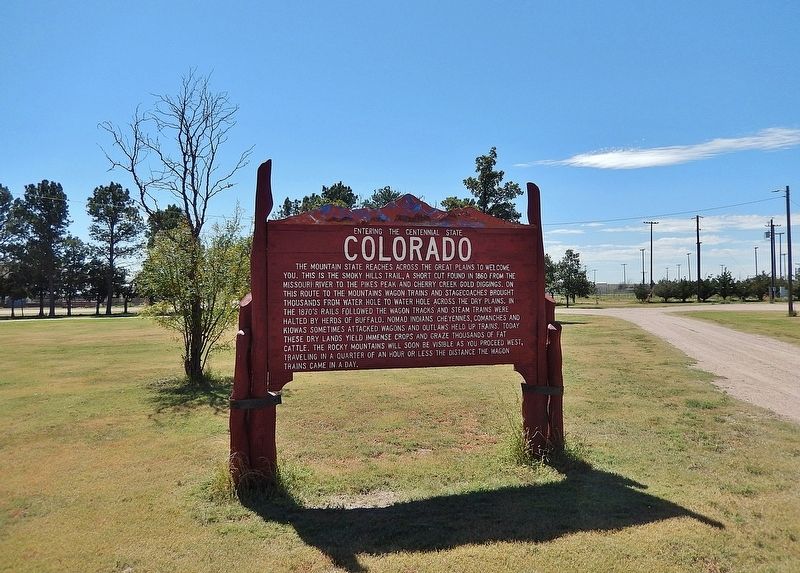
Looking southwest from US Highway 40; the Cheyenne County Fairgrounds complex is in the background.
Also see . . . Smoky Hill Trail (Wikipedia).
Excerpt: The Smoky Hill Trail ran through the Smoky Hills, in central Great Plains of North America, and was in use from 1855 to 1870. It extended west from Atchison, Kansas to the Kansas River, then along the Smoky Hill River, and finally to Denver, spanning the width of what became the state of Kansas and the eastern portion of Colorado. The trail was named after the Smoky Hill River, whose course it paralleled for much of its length.(Submitted on November 6, 2025, by Cosmos Mariner of Cape Canaveral, Florida.)
In 1859, the Pike's Peak Gold Rush prompted increased exploration of the westward path from the Missouri River through the dangerously vast Kansas Territory prairie. Many who attempted the Smoky Hill Trail got repeatedly lost or found no natural provisions.
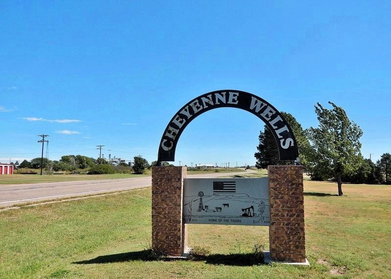
The Smoky Hill Trail continued as a path westward for American settlers, while considered the forerunner of an impending railroad. Beginning in 1865, the trail was the route for the short-lived Butterfield Overland Despatch serving freight and passengers. To protect travelers, the United States Army established several forts alongthe trail, including Fort Downer, Fort Harker, Fort Hays, Fort Monument, and Fort Wallace. The Kansas Pacific Railway was completed in 1870, rendering the Smoky Hill Trail obsolete.Photographed by Cosmos Mariner, September 11, 20253. Cheyenne Wells SignThis welcome sign is on US Highway 40, about 100 yards west the historical marker.
Credits. This page was last revised on November 6, 2025. It was originally submitted on November 5, 2025, by Cosmos Mariner of Cape Canaveral, Florida. This page has been viewed 70 times since then and 36 times this year. Photos: 1, 2, 3. submitted on November 6, 2025, by Cosmos Mariner of Cape Canaveral, Florida.
