Mille Lacs Kathio State Park near Onamia in Mille Lacs County, Minnesota — The American Midwest (Upper Plains)
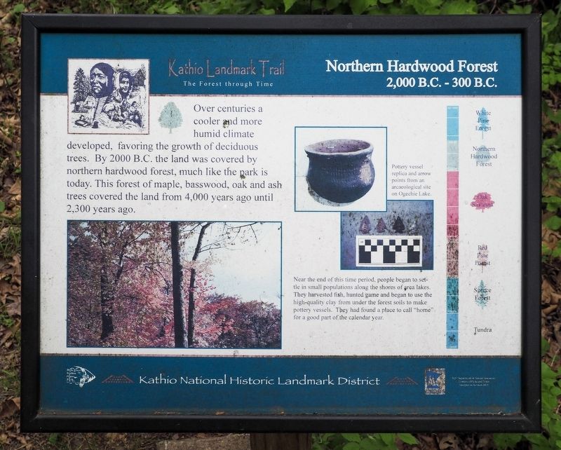
Northern Hardwood Forest
2,000 B.C.–300 B.C.
| — | Kathio Landmark Trail: The Forest through Time | — |
Photographed by McGhiever, May 29, 2025
1. Northern Hardwood Forest Marker
Over centuries a cooler and more humid climate developed, favoring the growth of deciduous trees. By 2000 B.C. the land was covered by northern hardwood forest, much like the park is today. This forest of maple, basswood, oak and ash trees covered the land from 4,000 years ago until 2,300 years ago.
Pottery vessel replica and arrow points from an arcaeological [sic] site on Ogechie Lake.
Near the end of this time period, people began to settle in small populations along the shores of area lakes. They harvested fish, hunted game and began to use the high-quality clay from under the forest soils to make pottery vessels. They had found a place to call "home" for a good part of the calendar year.
• White Pine Forest
• Northern Hardwood Forest
• Oak Savanna
• Red Pine Forest
• Spruce Forest
• Tundra
Erected 2013 by the Minnesota Department of Natural Resources.
Topics. This historical marker is listed in these topic lists: Anthropology & Archaeology • Environment • Indigenous Peoples and Communities.
Location. 46° 8.868′ N, 93° 46.208′ W. Marker
this page online

Regionally, this marker is in Central Minnesota. It is also in the American Midwest and in the Corn Belt. Globally, it is in North America, the Western Hemisphere, the Western World, and the Anglosphere. Historically, it finds itself in what was once Rupert’s Land, the territory of the Mississippian Culture, and the Northwest Territory.
Other nearby markers. At least 8 other markers are within walking distance of this marker: Why Did the Ojibwe People Choose to Live Here? (within shouting distance of this marker); White Pine Forest (within shouting distance of this marker); Ogechie Lake (within shouting distance of this marker); Oak Savanna (within shouting distance of this marker); Logging the Pines (within shouting distance of this marker); A Living Laboratory (about 300 feet away, measured in a direct line); Homeland of the Dakota
Photographed by McGhiever, May 29, 2025
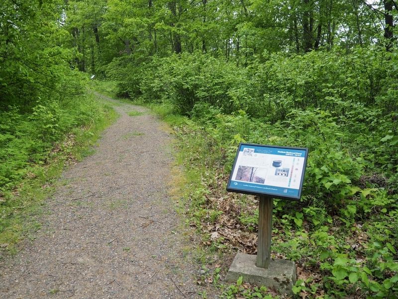
2. Northern Hardwood Forest Marker on the Kathio Landmark Trail
Credits. This page was last revised on November 20, 2025. It was originally submitted on November 20, 2025, by McGhiever of Minneapolis, Minnesota. This page has been viewed 72 times since then and 44 times this year. Photos: 1, 2. submitted on November 20, 2025, by McGhiever of Minneapolis, Minnesota.
