Northfields near Charlottesville in Albemarle County, Virginia — The American South (Mid-Atlantic)
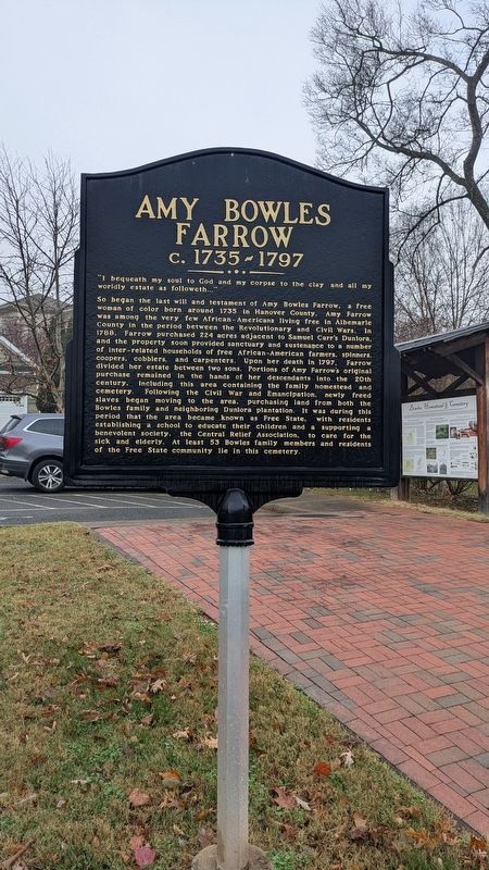
Amy Bowles Farrow
c. 1735–1797
Photographed by TheJellyBeans, November 19, 2025
1. Amy Bowles Farrow c. 1735–1797 Marker
“I bequeath my soul to God and my corpse to the clay and all my worldly estate as followeth…”
So began the last will and testament of Amy Bowles Farrow, a free woman of color born around 1735 in Hanover County. Amy Farrow was among the very few African-Americans living free in Albemarle County in the period between the Revolutionary and Civil Wars. In 1788, Farrow purchased 224 acres adjacent to Samuel Carr’s Dunlora, and the property soon provided sanctuary and sustenance to a number of inter-related households of free African-American farmers, spinners, coopers, cobblers, and carpenters. Upon her death in 1797, Farrow divided her estate between two sons. Portions of Amy Farrow’s original purchase remained in the hands of her descendants into the 20th century, including this area containing the family homestead and cemetery. Following the Civil War and Emancipation, newly freed slaves began moving to the area, purchasing land from both the Bowles family and neighboring Dunlora plantation. It was during this period that the area became known as Free State, with residents establishing a school to educate their children and supporting a benevolent society, the Central Relief Association, to care for the sick and elderly. At least 53 Bowles family members and residents of the Free State community lie in this cemetery.
Topics. This historical marker is listed in these topic lists: African Americans • Cemeteries & Burial Sites • Settlements & Settlers • Women. A significant historical year for this entry is 1735.
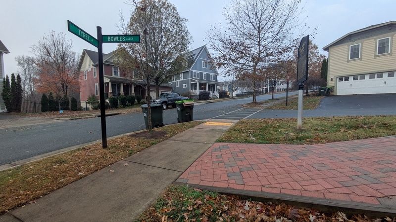
Location. 38° 4.337′ N, 78° 27.513′ W. Marker is near Charlottesville, Virginia, in Albemarle County. It is in Northfields. It is at the intersection of Tyree Lane and Bowles Alley, on the right when traveling east on Tyree Lane. Touch for map. Marker is at or near this postal address:
this page online

Regionally, this marker is in the Piedmont and in Central Virginia. It is also in the American South and specifically in the Upper South. Globally, it is in North America, the Western Hemisphere, the Western World, and the Anglosphere. Historically, it finds itself in what was once the territory of the Mississippian Culture, one of the original Thirteen Colonies, one of the Confederate States of America, and the Antebellum South.
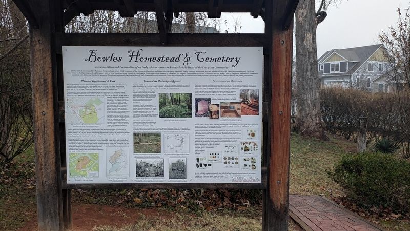
Other nearby markers. At least 8 other markers are within 3 miles of this marker, measured as the crow flies: Bowles Homestead & Cemetery (here, next to this marker); Free State (about 800 feet away, measured in a direct line); Pvt. Shadrach Battles (ca. 1753-1822) (approx. 0.2 miles away); Rio Hill 1864 Skirmish (approx. 1.2 miles away); Rio Hill (approx. 1.2 miles away); Skirmish at Rio Hill (approx. 1.3 miles away); Rio Mills (approx. 2.1 miles away); Monacan Indian Village (approx. 2.1 miles away). Touch for a list and map of all markers in Charlottesville.
Photographed by TheJellyBeans, November 19, 2025
2. Amy Bowles Farrow c. 1735–1797 Marker
Photographed by TheJellyBeans, November 19, 2025
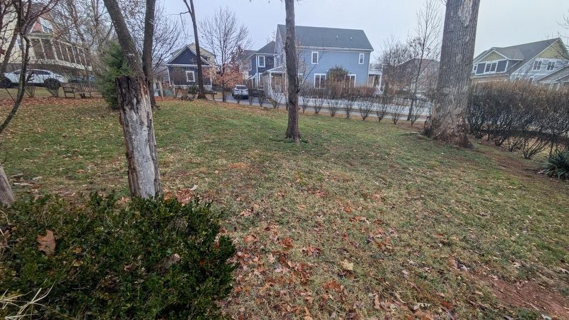
3. Amy Bowles Farrow c. 1735–1797 Marker
Photographed by TheJellyBeans, November 19, 2025
4. Amy Bowles Farrow c. 1735–1797 Marker
Credits. This page was last revised on January 16, 2026. It was originally submitted on November 22, 2025, by TheJellyBeans of Central, Virginia. This page has been viewed 181 times since then and 136 times this year. Photos: 1, 2, 3, 4. submitted on November 22, 2025, by TheJellyBeans of Central, Virginia. • Devry Becker Jones was the editor who published this page.
