Mille Lacs Kathio State Park near Onamia in Mille Lacs County, Minnesota — The American Midwest (Upper Plains)
Ogechie Lake
Kathio Landmark Trail
| — | National Historical Landmark District | — |

Photographed by McGhiever, May 29, 2025
1. Ogechie Lake Marker
Ogechie is the first in a chain of three lakes formed in the Rum River as it flows from its source at Mille Lacs lake. Ogechie Lake's basin was originally formed by glacial action 18,000 years ago. When Humans first entered the area about 9,000 years ago, Ogechie was not a lake unto itself, but was a bay of Mille Lacs. On the southern end of Ogechie was a natural dam of remaining glacial ice. At that time, the Rum River flowed out of Mille Lacs at Cove Bay, about four miles southeast of the park entrance. Since the Ogechie ice dam melted and gave way between 8,000 and 7,000 years ago, the Rum River has flowed here, as the only outlet from Mille Lacs Lake. The river winds 154 miles to the Mississippi River at the present-day town of Anoka.
12,000 years ago the climate at the edge of the retreating glacier was cold and wet. A dam of ice held Ogechie Lake as a bay of Mille Lacs Lake.
Extinct forms of wildlife roamed a landscape of tundra and spruce forest.
The shoreline of Mille Lacs Lake and the flow of the Rum River have changed over time.
What's in a Name?
The three lakes were called the Rice lakes in an
this page online
This map shows the name of Shakopee Lake to be "Lake Nassawae" and Lake Onamia is called "Onamio Lake."
Erected by Minnesota State Parks and Trails.
Topics. This historical marker is listed in these topic lists: Environment • Indigenous Peoples and Communities • Waterways & Vessels.
Location. 46° 8.852′ N, 93° 46.252′ W. Marker is near Onamia, Minnesota, in Mille Lacs County. It is in Mille Lacs Kathio State Park. It can be reached from no nearby street. The marker is on the west loop of the Kathio Landmark Trail. Touch for map. Marker is in this post office area: Onamia MN 56359, United States of America. Touch for directions.

Regionally, this marker is in Central Minnesota.
Photographed by McGhiever, May 29, 2025
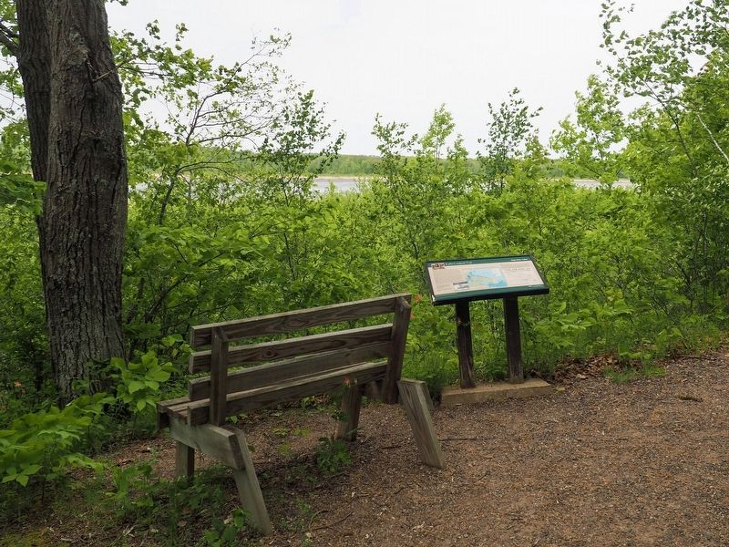
2. Marker overlooking Ogechie Lake
Other nearby markers. At least 8 other markers are within walking distance of this marker: Logging the Pines (within shouting distance of this marker); White Pine Forest (within shouting distance of this marker); A Living Laboratory (within shouting distance of this marker); Homeland of the Dakota (within shouting distance of this marker); Northern Hardwood Forest (within shouting distance of this marker); Why Did the Ojibwe People Choose to Live Here? (about 300 feet away, measured in a direct line); Kathio Forest: Past & Future (about 400 feet away); Oak Savanna (about 400 feet away). Touch for a list and map of all markers in Onamia.
Credits. This page was last revised on December 12, 2025. It was originally submitted on December 12, 2025, by McGhiever of Minneapolis, Minnesota. This page has been viewed 99 times since then and 68 times this year. Photos: 1, 2. submitted on December 12, 2025, by McGhiever of Minneapolis, Minnesota.
