
Near Denton in Davidson County, North Carolina — The American South (South Atlantic)
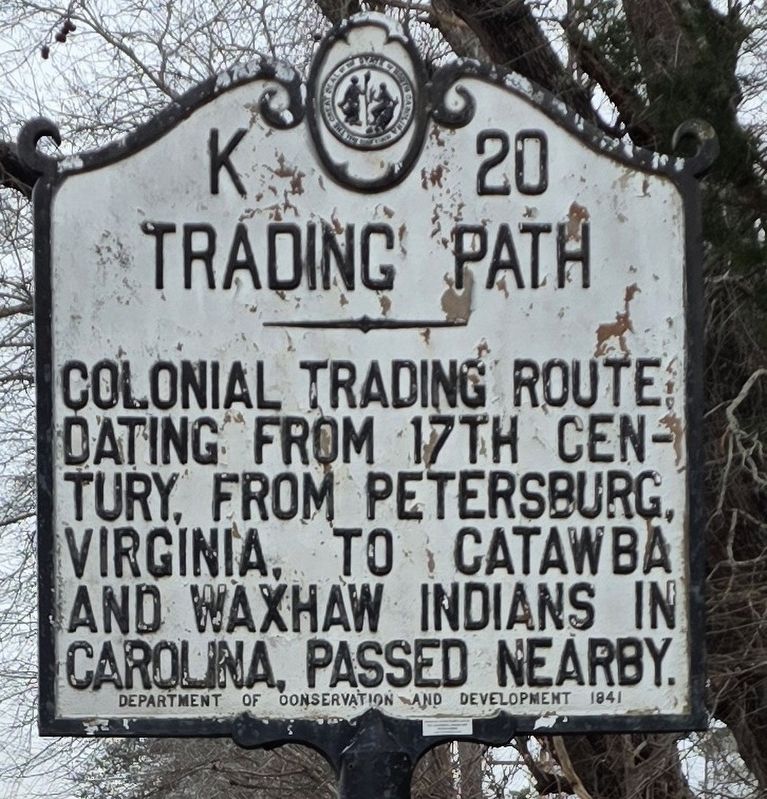
Trading Path
Photographed by Michael C. Wilcox, December 7, 2025
1. Trading Path Marker
Erected 1941 by NC Department of Conservation and Development. (Marker Number K-20.)
Topics. This historical marker is listed in these topic lists: Colonial Era • Indigenous Peoples and Communities • Roads & Vehicles.
Location. 35° 43.933′ N, 80° 6.067′ W. Marker is near Denton, North Carolina, in Davidson County. It is on E Old Hwy 64 0.1 miles Old Hwy 109. Touch for map. Marker is at or near this postal address: 11161 E Old Hwy 64, Denton NC 27239, United States of America. Touch for directions.

Regionally, this marker is in North Carolina’s Piedmont and specifically in Piedmont Triad. It is also in the American South and specifically in the Upper South. Globally, it is in North America, the Western Hemisphere, the Western World, and the Anglosphere. Historically, it finds itself in what was once the territory of the Mississippian Culture, one of the original Thirteen Colonies, one of the Confederate
this page online
Other nearby markers. At least 8 other markers are within 8 miles of this marker, measured as the crow flies: Judge Hiram H. Ward (approx. 6.8 miles away); Mill Stones from Old Metters Mill (approx. 6.8 miles away); 1951 Cupola Caboose (approx. 6.9 miles away); Beck's United Church of Christ Veterans Memorial (approx. 7.2 miles away); In Memory of John Beck, Sr. (approx. 7.2 miles away); Captain Peter Hedrick (approx. 7.2 miles away); Beck's Reformed Church (approx. 7.2 miles away); Beck's Reformed Church Cemetery (approx. 7.2 miles away). Touch for a list and map of all markers in Denton.
Photographed by Michael C. Wilcox, December 7, 2025
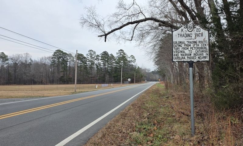
2. Trading Path Marker
Facing East
Photographed by Michael C. Wilcox, December 7, 2025
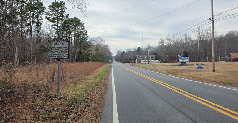
3. Trading Path Marker
Facing West
Credits. This page was last revised on December 13, 2025. It was originally submitted on December 13, 2025, by Michael C. Wilcox of Winston-Salem, North Carolina. This page has been viewed 124 times since then and 87 times this year. Photos: 1, 2, 3. submitted on December 13, 2025, by Michael C. Wilcox of Winston-Salem, North Carolina.
