Cannon Ball in Sioux County, North Dakota — The American Midwest (Upper Plains)
The Parkin Ranch
Photographed by Jimmy Emerson, 2014
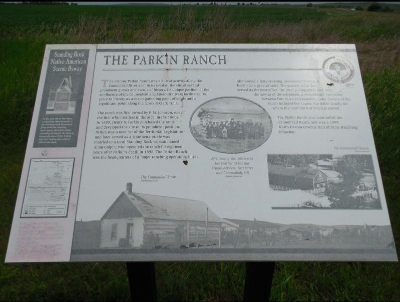
1. The Parkin Ranch Marker
The historic Parkin Ranch was a hub of activity along the Cannonball River and, in its heyday, the site of several prominent guests and events of history. Its unique position at the confluence of the Cannonball and Missouri Rivers facilitated its place in history as a major gathering point of locals and a significant point along the Lewis & Clark Trail.
The ranch was first owned by R.M. Johnson, one of the first white settlers in the area, in the 1860s. In 1863, Henry 8. Parkin purchased the ranch and developed the site to its prominent position. Parkin was a member of the Territorial Legislature and later served as a state senator. He was married to a local Standing Rock woman named Alma Galpin, who operated the ranch for eighteen years after Parkin's death in 1895. The Parkin Ranch was the headquarters of a major ranching operation, but it also hosted a ferry crossing, steamb oat landing, a hotel and a general store. The general store also served as the post office, the local polling place and with the advent of the telephone, a switchboard operation between Fort Yates and Mandan. Later owners of the ranch included
this page online
Mrs. Louise Van Solen was the teacher at the day school between Fort Yates and Cannonball, ND The Parkin Ranch was later called the Cannonball Ranch and was a 1999 North Dakota Cowboy Hall of Fame Ranching Inductee.
[Sidebar:]
On the east side of Fort Yates, overlooking Oahe Reservoir, is the Standing Rock Monument from which the Standing Rock Agency derived its name. According to legend, the stone is petrification of the Arikara wife of a Dakota man with her child on her back.
Topics. This historical marker is listed in these topic lists: Agriculture • Indigenous Peoples and Communities • Waterways & Vessels. A significant historical year for this entry is 1883.
Location. 46° 23.169′ N, 100° 37.743′ W. Marker is in Cannon Ball, North Dakota, in Sioux County. It is on 71st Street east of North Dakota Highway 1806, on the right when traveling west. Touch for map. Marker is at or near this postal address: 7908 State Hwy 1806, Cannon Ball ND 58528, United States of America. Touch for directions.

Regionally, this marker is on the Missouri Plateau.
Photographed by Jimmy Emerson, 2014
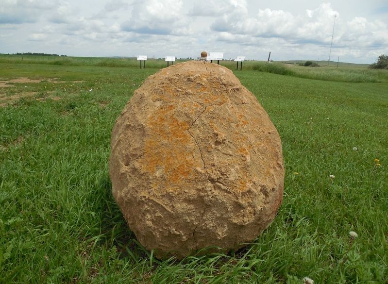
2. The Parkin Ranch Marker in background
Other nearby markers. At least 5 other markers are within 9 miles of this marker, measured as the crow flies: The Cannonball Community (within shouting distance of this marker); Native American Scenic Byway (within shouting distance of this marker); Fort Rice After General Sully's Expeditions (approx. 9 miles away); The Founding of Fort Rice (approx. 9 miles away); Fort Rice (approx. 9 miles away).
Credits. This page was last revised on December 20, 2025. It was originally submitted on December 19, 2025, by Jimmy Emerson of Dalton, Georgia. This page has been viewed 148 times since then and 111 times this year. Photos: 1, 2. submitted on December 19, 2025, by Jimmy Emerson of Dalton, Georgia. • Devry Becker Jones was the editor who published this page.
