Near Dolores in Montezuma County, Colorado — The American Mountains (Southwest)
Gambel Oak
Photographed by Cosmos Mariner, July 17, 2025
1. Gambel Oak Marker
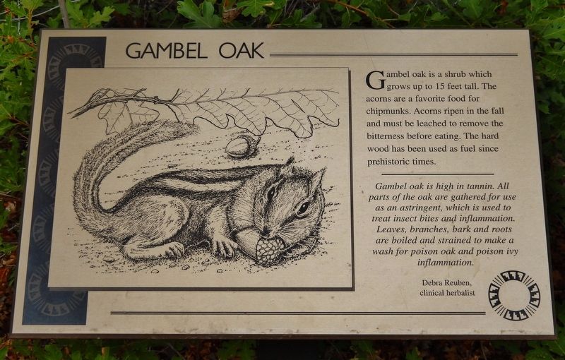
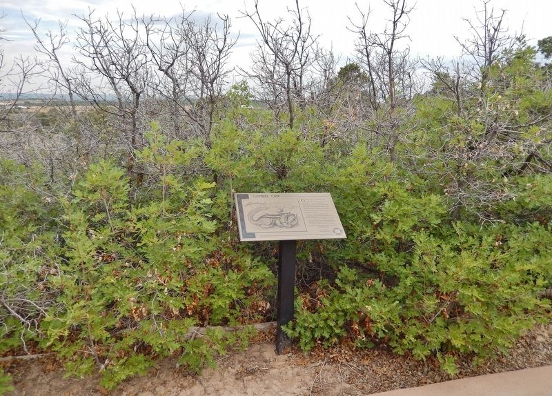
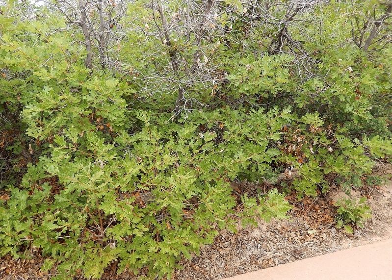
Gambel oak is a shrub which grows up to 15 feet tall. The acorns are a favorite food for chipmunks. Acorns ripen in the fall and must be leached to remove the bitterness before eating. The hard wood has been used as fuel since prehistoric times.
Gambel oak is high in tannin. All parts of the oak are gathered for use as an astringent, which is used to treat insect bites and inflammation. Leaves, branches, bark and roots are boiled and strained to make a wash for poison oak and poison ivy inflammation.
—Debra Reuben, clinical herbalist
Erected by The Colorado Historical Society, the Bureau of Land Management, the Family of Nellie Mulnix Joy and the Frankston Family.
Topics. This historical marker is listed in these topic lists: Anthropology & Archaeology • Indigenous Peoples and Communities • Science & Medicine.
Location. 37° 28.64′ N, 108° 32.842′ W. Marker is near Dolores, Colorado, in Montezuma County. It can be reached from State Highway 184 at milepost 7, on the right when traveling west. The marker is on the Escalante Pueblo Trail at the Canyons of the
this page online

Regionally, this marker is in the American Mountain West, on the Colorado Plateau, and at the Four Corners. Globally, it is in North America, the Rocky Mountains, the Western Hemisphere, the Western World, and the Anglosphere. Historically, it finds itself in what was once the territory of the Ancestral Puebloans and also Mexico’s Alta California.
Other nearby markers. At least 8 other markers are within walking distance of this marker: Skunkbush Sumac (within shouting distance of this marker); Indian Ricegrass (within shouting distance of this marker); Mountain Mahogany (about 300 feet away, measured in a direct line); Yucca (about 300 feet away); A Path Well Traveled (about 400 feet away); Piñon (about 400 feet away); Mesa Verde National Park & Ute Mountain Tribal Park (about 500 feet away); Rabbitbrush (about 500 feet away). Touch for a list and map of all markers in Dolores.
Also see . . . Quercus gambelii (Wikipedia).
Photographed by Cosmos Mariner, July 17, 2025
2. Gambel Oak Marker
Excerpt: A deciduous small tree or large shrub that is widespread in the foothills and lower mountains of western North America. The common and scientific names, Gambel oak and Quercus gambelii, were named after the American naturalist William Gambel (1821–1849).(Submitted on December 21, 2025, by Cosmos Mariner of Cape Canaveral, Florida.)
Historically, acorns from Gambel oak provided a reliable source of food for Native Americans.
Photographed by Cosmos Mariner, July 17, 2025
3. Gambel Oak
Credits. This page was last revised on December 21, 2025. It was originally submitted on December 21, 2025, by Cosmos Mariner of Cape Canaveral, Florida. This page has been viewed 53 times since then and 25 times this year. Photos: 1, 2, 3. submitted on December 21, 2025, by Cosmos Mariner of Cape Canaveral, Florida.
