Near Leander in Williamson County, Texas — The American South (West South Central)
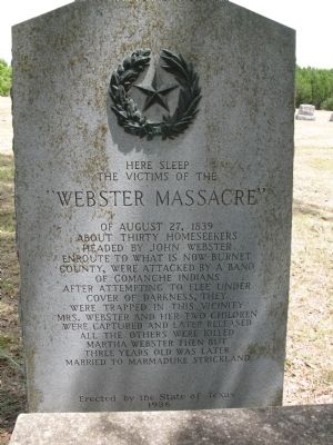
"Webster Massacre"
Photographed by Richard Denney, August 9, 2008
1. Webster Massacre Marker
the victims of the
"Webster Massacre"
Erected 1936 by State Historical Survey Committee. (Marker Number 9369.)
Topics and series. This historical marker is listed in these topic lists: Cemeteries & Burial Sites • Indigenous Peoples and Communities • Settlements & Settlers • Wars, US Indian. In addition, it is included in the Texas 1936 Centennial Markers and Monuments series list. A significant historical date for this entry is August 27, 1839.
Location. 30° 34.975′ N, 97° 49.583′ W. Marker is near Leander, Texas, in Williamson County. It can be reached from FM 2243 2 miles east of Leander, on the left when traveling east. In Davis Cemetery. Touch for map. Marker is in this post office area: Leander
this page online

Regionally, this marker is in Central Texas and in the Austin Metropolitan Area. It is also in the American South. Globally, it is in North America, a Gulf of Mexico state, the Western Hemisphere, the Western World, and the Anglosphere. Historically, it finds itself in what was once New Spain, the Republic of Texas, one of the Confederate States of America, and the Antebellum South.
Other nearby markers. At least 8 other markers are within 2 miles of this marker, measured as the crow flies: Leanderthal Lady (approx. 1.6 miles away); a different marker also named Webster Massacre (approx. 1.6 miles away); Leander (approx. 1.6 miles away); Norton Moses Lodge No. 336, A.F. & A.M. (approx. 1.8 miles away); Leander Schools (approx. 1.8 miles away); Leander United Methodist Church (approx. 1.8 miles away); Leander Presbyterian Church (approx. 1.8 miles away); Pickle-Mason House (approx. 2.1 miles away). Touch for a list and map of all markers in Leander.
Also see . . . The Great Comanche Raid: Boldest Indian Attack of the Texas Republic, by Donaly E. Brice.
Photographed by Richard Denney, June 28, 2009
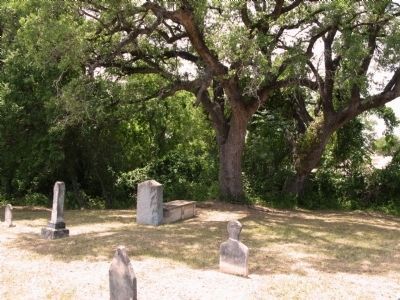
2. Marker (center by tree) in front of common grave
Photographed by Richard Denney, June 27, 2009
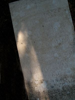
3. Lid of sarcophagus that serves as common grave.
The inscription on the lid was done (or re-done) as recently as 2008. It reads in part "To the memory [of] Washington Perry Reese and William Parker Reese. Killed with John Webster and Company by Comanche Indians August 27th 1839 AD"
Photographed by Richard Denney, August 9, 2008
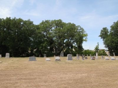
4. Wider view of the cemetery. Marker by tree center.
Credits. This page was last revised on December 28, 2025. It was originally submitted on June 28, 2009, by Richard Denney of Austin, Texas. This page has been viewed 4,468 times since then and 102 times this year. Last updated on December 26, 2025, by Joe Lotz of Flower Mound, Texas. Photos: 1, 2, 3, 4. submitted on June 28, 2009, by Richard Denney of Austin, Texas. • Devry Becker Jones was the editor who published this page.
