Thelka in San Antonio in Bexar County, Texas — The American South (West South Central)
Mission San Francisco Xavier de Nájera
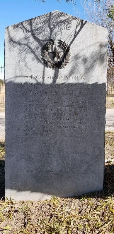
Approximate Location of
Photographed by James Hulse, December 24, 2020
1. Mission San Francisco Xavier de Nájera Marker
Established in 1722 • Its Indian neophytes, few in number, passed into the care of the missionaries at San Antonio de Valero in 1726 • The land was later granted to the Mission Nuestra Señora de La Purísima Concepción de Acuña • Reestablished in this vicinity in 1731
Erected 1936 by State of Texas. (Marker Number 3414.)
Topics and series. This historical marker is listed in these topic lists: Colonial Era • Hispanic Americans • Indigenous Peoples and Communities • Religion & Religious Structures. In addition, it is included in the Texas 1936 Centennial Markers and Monuments series list. A significant historical year for this entry is 1722.
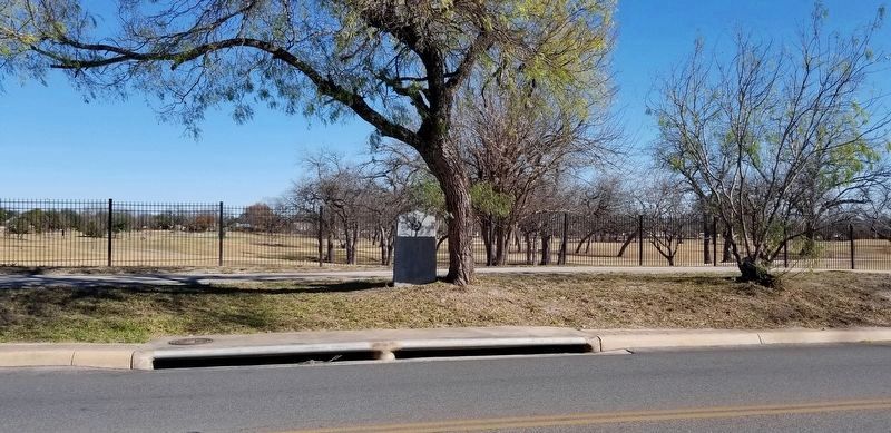
Location. 29° 23.071′ N, 98° 29.361′ W. Marker is in San Antonio, Texas, in Bexar County. It is in Thelka. It is on Mission Road 0.1 miles south of Hansford street, on the left when traveling south. The marker is located along the golf course on Mission Road. Touch for map. Marker is in this post office area: San Antonio TX 78210, United States of America. Touch for directions.

Regionally, this marker is in South Texas. It is also in the American South. Globally, it is in North America, a Gulf of Mexico state, the Western Hemisphere, the Western World, and the Anglosphere. Historically, it finds itself in what was once New Spain, the Republic of Texas, and one of the Confederate States of America.
Other nearby markers. At least 8 other markers are within walking distance of this marker: Kings Highway Camino Real — Old San Antonio Road (approx. 0.4 miles away); Mission Concepción (approx. 0.4 miles away); The Quarry (approx. half a mile away); The Battle of Concepción (approx. half a mile away); Mission Nuestra Señora de la Purísima Concepción (approx. 0.6 miles away); The San Antonio Missions World Heritage Site (approx. 0.6 miles away);
this page online
Also see . . . Spanish Missions. To the degree that the mission effort succeeded, it furthered the Spanish goals of political, economic, and religious expansion in America in competition with other European-origin nations. Source: The Handbook of Texas (Submitted on December 31, 2020, by James Hulse of Medina, Texas.)
Photographed by James Hulse, December 24, 2020
2. Mission San Francisco Xavier de Nájera Marker

Photographed by Jeff Leichsenring, May 17, 2026
3. Mission San Francisco Xavier de Nájera Marker
Credits. This page was last revised on May 20, 2026. It was originally submitted on December 31, 2020, by James Hulse of Medina, Texas. This page has been viewed 968 times since then and 59 times this year. Last updated on December 26, 2025, by Joe Lotz of Flower Mound, Texas. Photos: 1, 2. submitted on December 31, 2020, by James Hulse of Medina, Texas. 3. submitted on May 19, 2026, by Jeff Leichsenring of Garland, Texas. • Devry Becker Jones was the editor who published this page.
