
Crawford in Delta County, Colorado — The American Mountains (Southwest)
Crawford State Park
Photographed by Cosmos Mariner, July 20, 2025
1. Crawford State Park Marker
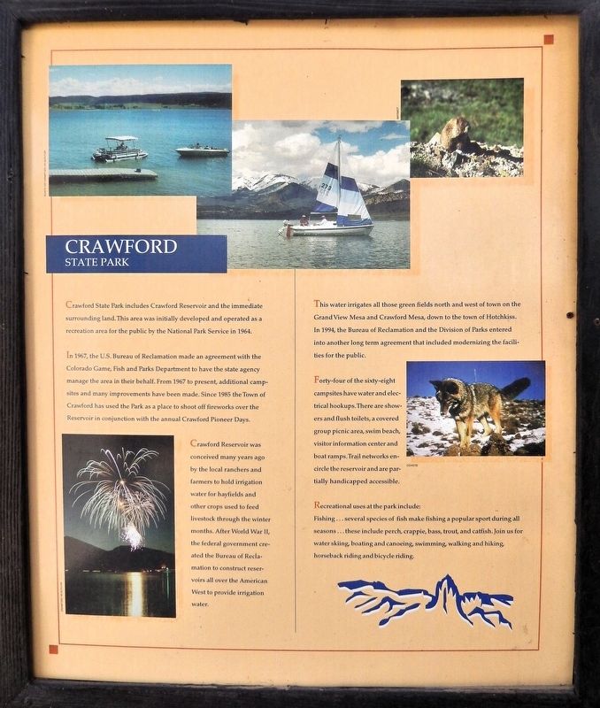
Crawford State Park includes Crawford Reservoir and the immediate surrounding land. This area was initially developed and operated as a recreation area for the public by the National Park Service in 1964.
In 1967, the U.S. Bureau of Reclamation made an agreement with the Colorado Game, Fish and Parks Department to have the state agency manage the area in their behalf. From 1967 to present, additional campsites and many improvements have been made. Since 1985 the Town of Crawford has used the Park as a place to shoot off fireworks over the Reservoir in conjunction with the annual Crawford Pioneer Days.
Crawford Reservoir was conceived many years ago by the local ranchers and farmers to hold irrigation water for hayfields and other crops used to feed livestock through the winter months. After World War II, the federal government created the Bureau of Reclamation to construct reservoirs all over the American West to provide irrigation water.
This water irrigates all those green fields north and west of town on the Grand View Mesa and Crawford Mesa, down to the town of Hotchkiss. In 1994, the Bureau of Reclamation and the Division
this page online
Forty-four of the sixty-eight campsites have water and electrical hookups. There are showers and flush toilets, a covered group picnic area, swim beach, visitor information center and boat ramps. Trail networks encircle the reservoir and are partially handicapped accessible.
Recreational uses at the park include: Fishing… several species of fish make fishing a popular sport during all seasons… these include perch, crappie, bass, trout, and catfish. Join us for water skiing, boating and canoeing, swimming, walking and hiking, horseback riding and bicycle riding.
Topics. This historical marker is listed in these topic lists: Agriculture • Parks & Recreational Areas • Waterways & Vessels. A significant historical year for this entry is 1964.
Location. 38° 42.227′ N, 107° 36.633′ W. Marker is in Crawford, Colorado, in Delta County. It is on State Highway 92 just west of F Street, on the right when traveling west. The marker is mounted in the West Elk Loop Byway interpretive kiosk in front of the Crawford Town Hall & Community
Photographed by Cosmos Mariner, July 20, 2025
2. Crawford State Park Marker
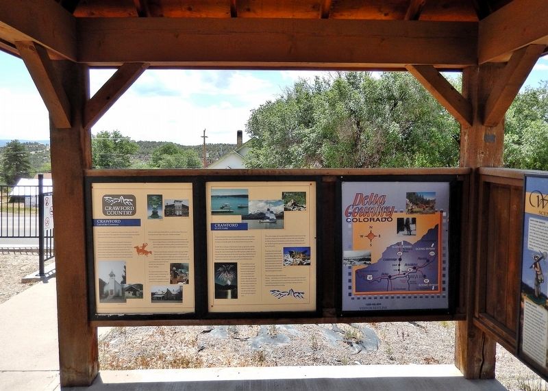
This is the center one of three panels on the south side of the West Elk Loop Byway interpretive kiosk.

Regionally, this marker is in the Western Slope. It is also in the American Mountain West and in Colorado Plateau. Globally, it is in North America, the Rocky Mountains, the Western Hemisphere, the Western World, and the Anglosphere. Historically, it finds itself in what was once Mexico’s Alta California.
Other nearby markers. At least 8 other markers are within 9 miles of this marker, measured as the crow flies: Crawford (here, next to this marker); West Elk Loop (here, next to this marker); Agriculture (here, next to this marker); a different marker also named West Elk Loop (approx. 8.4 miles away); Hotchkiss-Crawford Historical Museum (approx. 8.8 miles away); Hotchkiss Methodist Episcopal Church (approx. 8.9 miles away); First Hotchkiss School Bell (approx. 8.9 miles away); Hotchkiss Memorial Hall (approx. 8.9 miles away). Touch for a list and map of all markers in Crawford.
Related markers. Click here for a list of markers that are related to this marker.
Photographed by Cosmos Mariner, July 20, 2025
3. West Elk Loop Byway Interpretive Kiosk
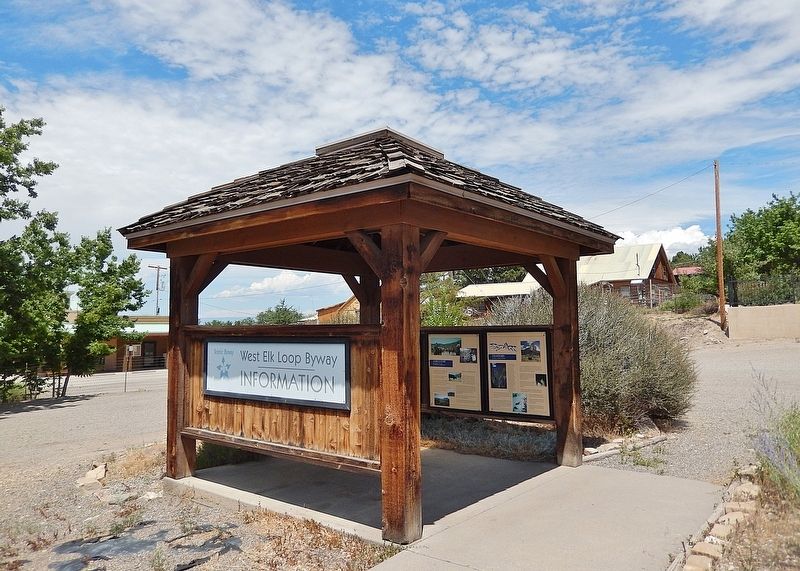
The marker is mounted inside the interpretive kiosk.
Also see . . . Crawford State Park (Wikipedia).
Excerpt: Crawford State Park is located about 1 mile south of the town of Crawford, Colorado. The north rim of the Black Canyon of the Gunnison National Park is about 12 southwest and Delta is about 31 miles west on Colorado Highway 92.(Submitted on January 16, 2026, by Cosmos Mariner of Cape Canaveral, Florida.)
The 760-acre park was established in 1964 on the shore of Crawford Reservoir, a 400-acre lake with boat ramps and a swimming beach. The park has 1.8 miles of trails available to both hikers and bicyclists. Plant communities include pinyon-juniper woodlands, sagebrush and small areas of west slope grassland. Wetland and riparian areas are around the reservoir and below the dam.
Credits. This page was last revised on January 17, 2026. It was originally submitted on January 11, 2026, by Cosmos Mariner of Cape Canaveral, Florida. This page has been viewed 71 times since then. Photos: 1, 2, 3. submitted on January 15, 2026, by Cosmos Mariner of Cape Canaveral, Florida.
