Near Hopewell in Prince George County, Virginia — The American South (Mid-Atlantic)
Maycock's Plantation
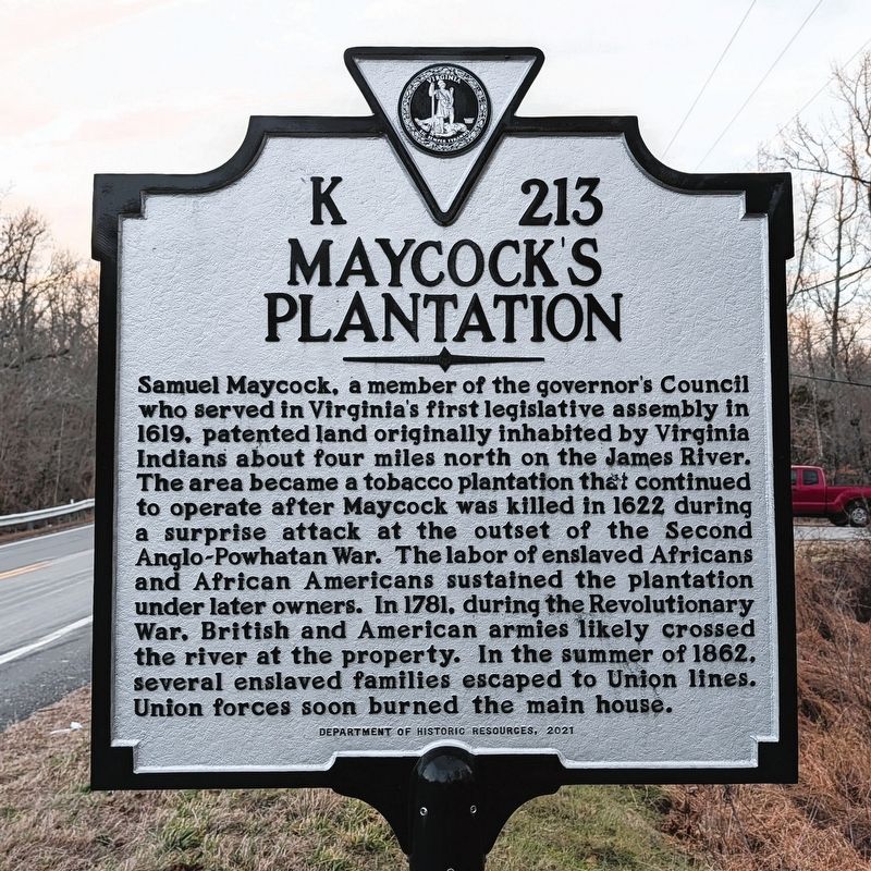
Photographed by Bernard Fisher, January 23, 2026
1. Maycock's Plantation Marker
Erected 2021 by Department of Historic Resources. (Marker Number K 213.)
Topics. This historical marker is listed in these topic lists: African Americans • Colonial Era • Indigenous Peoples and Communities • War, US Civil • War, US Revolutionary. A significant historical year for this entry is 1619.
Location. 37° 14.872′ N, 77° 9.011′ W. Marker is near Hopewell, Virginia, in Prince George County. It is at the
this page online

Regionally, this marker is in Coastal Virginia. It is also in the American South, specifically in the Upper South, in the Tidewater, and on the Eastern Seaboard. Globally, it is in the North Atlantic Region, North America, the Western Hemisphere, the Western World, and the Anglosphere. Historically, it finds itself in what was once the territory of the Mississippian Culture, one of the original Thirteen Colonies, one of the Confederate States of America, and the Antebellum South.
Other nearby markers. At least 8 other markers are within 5 miles of this marker, measured as the crow flies: Powell's Creek (here, next to this marker); Flowerdew Hundred (a few steps from this marker); James River National WildLife Refuge (approx. one mile away); The Cattle Raid (approx. 2.1 miles away); Merchant's Hope Church (approx. 2.9 miles away); Augustus Robbins, Jr. (approx. 3.1 miles
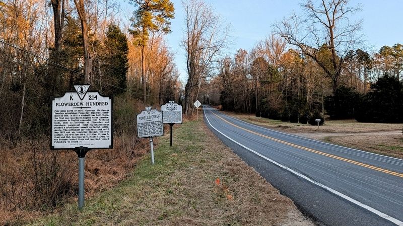
Photographed by Bernard Fisher, January 23, 2026
2. Maycock's Plantation Marker (facing east)
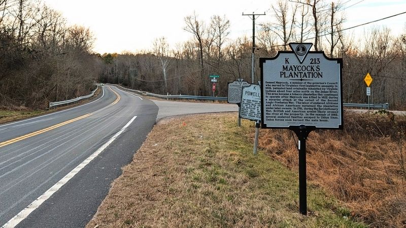
Photographed by Bernard Fisher, January 23, 2026
3. Maycock's Plantation Marker (facing west)
Credits. This page was last revised on January 24, 2026. It was originally submitted on January 24, 2026, by Bernard Fisher of Richmond, Virginia. This page has been viewed 71 times since then. Photos: 1, 2, 3. submitted on January 24, 2026, by Bernard Fisher of Richmond, Virginia.
