Midtown - Downtown in Columbia in Richland County, South Carolina — The American South (South Atlantic)
Riverfront Park
Waterworks at Columbia Canal
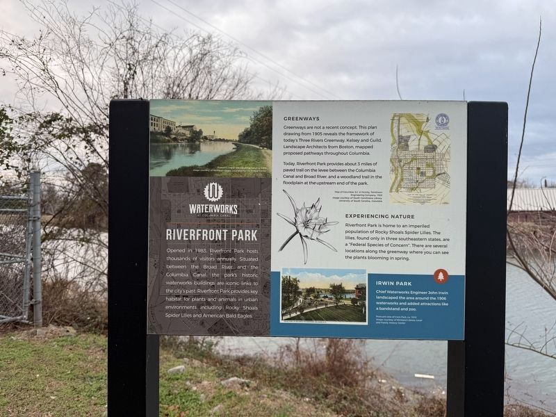
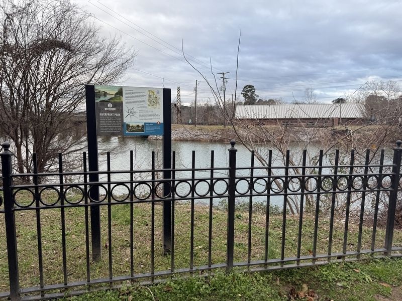
Opened in 1983, Riverfront Park hosts thousands of visitors annually. Situated between the Broad River and the Columbia Canal, the park's historic waterworks buildings are iconic links to the city's past. Riverfront Park provides key habitats for plants and animals in urban environments including Rocky Shoals Spider Lilies and American Bald Eagles.
Greenways
Greenways are not a recent concept. This plan drawing from 1905 reveals the framework of today's Three Rivers Greenway. Kelsey and Guild, Landscape Architects from Boston, mapped proposed pathways throughout Columbia.
Today, Riverfront Park provides about 3 miles of paved trail on the levee between the Columbia Canal and Broad River, and a woodland trail in the floodplain at the upstream end of the park.
Experiencing Nature
Riverfront Park is home to an imperiled population of Rocky Shoals Spider Lilies. The lilies, found only in three southeastern states, are a "Federal Species of Concern". There are several locations along the greenway where you can see the plants blooming in spring.
Irwin Park
Chief Waterworks Engineer John Irwin landscaped the area
this page online
Erected by City of Columbia.
Topics. This historical marker is listed in these topic lists: Architecture • Parks & Recreational Areas • Roads & Vehicles • Waterways & Vessels. A significant historical year for this entry is 1983.
Location. 34° 0.166′ N, 81° 3.206′ W. Marker is in Columbia, South Carolina, in Richland County. It is in Midtown - Downtown. It can be reached from Gist Street north of Blanding Street, on the right when traveling south. Touch for map. Marker is at or near this postal address: 300 Laurel St, Columbia SC 29201, United States of America. Touch for directions.

Regionally, this marker is in the Midlands. It is also in the American South and specifically in the Deep South. Globally, it is in North America, the Western Hemisphere, the Western World, and the Anglosphere. Historically, it finds itself in what was once the territory of the Mississippian Culture, one of the original Thirteen Colonies, one of the Confederate States of America, and the Antebellum South.
Other nearby markers. At least 8 other markers
Additional keywords. landscape architecture
Credits. This page was last revised on January 24, 2026. It was originally submitted on January 24, 2026, by Devry Becker Jones of Washington, District of Columbia. This page has been viewed 32 times since then. Photos: 1, 2. submitted on January 24, 2026, by Devry Becker Jones of Washington, District of Columbia.
