Wailuku in Maui County, Hawaii — Hawaiian Island Archipelago (Pacific Ocean)
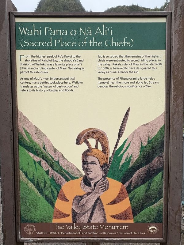
Wahi Pana o Nā Ali'i (Sacred Place of the Chiefs)
Photographed by Darren Jefferson Clay, December 7, 2025
1. Wahi Pana o Na Ali'i (Sacred Place of the Chiefs) Marker
From the highest peak of Pu'u Kukui to the shoreline of Kahului Bay, the ahupua'a (land division) of Wailuku was a favorite place of ali'i (chiefs) and a ruling center of Maui. Iao Valley is part of this ahupua'a.
As one of Maui's most important political centers, many battles took place here. Wailuku translates as the "waters of destruction" and refers to its history of battles and floods.
Iao is so sacred that the remains of the highest chiefs were entrusted to secret hiding places in the valley. Kaka'e, ruler of Maui in the late 1400s to 1500s, is believed to have designated this valley as burial area for the ali'i.
The presence of Pihanakalani, a large heiau (temple) near the shore and along Iao Stream, denotes the religious significance of Iao.
Topics. This historical marker is listed in these topic lists: Anthropology & Archaeology • Cemeteries & Burial Sites • Indigenous Peoples and Communities • Religion & Religious Structures.
Location. 20° 52.841′ N, 156° 32.732′ W. Marker is in Wailuku, Hawaii, in Maui County. It is on Iao Needle
this page online

Regionally, this marker is in Lahaina and West Maui. Globally, it is in North America, in Polynesia, in the Pacific Ocean, in North Pacific, on the Pacific Rim, in the Western Hemisphere, in the Western World, and in the Anglosphere.
Other nearby markers. At least 8 other markers are within walking distance of this marker: Ka 'Ikena o 'Īao - Sites of 'Īao (here, next to this marker); Ka Wai Ola O Kāne (The Living Waters of Kāne) (here, next to this marker); Kūka‘emoku (a few steps from this marker); Lā'au - The Plants of 'Īao (within shouting distance of this marker); Battle of Kepaniwai - Uniting the Islands (about 300 feet away, measured in a direct line); Nā Wai 'Ehā - The Four Waters of Maui (about 400 feet away); Kūka'emoku - 'Īao Needle (about 400 feet away); Dedicated to the victims of the March 11, 2011 earthquake and tsunami in Japan
Photographed by Darren Jefferson Clay, December 7, 2025
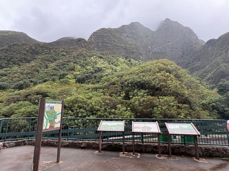
2. Wahi Pana o Na Ali'i (Sacred Place of the Chiefs) Marker (marker on backside of tri-panel on left)
Credits. This page was last revised on February 6, 2026. It was originally submitted on February 1, 2026, by Darren Jefferson Clay of Duluth, Georgia. This page has been viewed 71 times since then. Photos: 1, 2. submitted on February 4, 2026, by Darren Jefferson Clay of Duluth, Georgia. • Devry Becker Jones was the editor who published this page.
