Near Meadow Bridge in Summers County, West Virginia — The American South (Appalachia)
Millstones
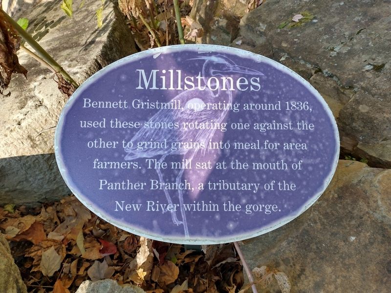
Photographed by Tom Bosse, September 21, 2025
1. Millstones Marker
Erected by U.S. Department of the Interior.
Topics. This historical marker is listed in these topic lists: Agriculture • Indigenous Peoples and Communities • Waterways & Vessels. A significant historical year for this entry is 1836.
Location. 37° 46.984′ N, 80° 53.868′ W. Marker is near Meadow Bridge, West Virginia, in Summers County. It can be reached from Meadow Creek Road (County Road 7) north of Interstate 64, on the right when traveling north. The marker stands at the Sandstone Visitor Center in the New River Gorge National Park & Preserve. Touch for map. Marker is at or near this postal address: 330 Meadow Creek Rd, Meadow Creek WV 25977, United States of America. Touch for directions.

Regionally, this marker is in the Southern Coalfields. It is also in the American South, specifically in the Upper South, in Appalachia, and specifically in Southern Appalachia. Globally, it
this page online
Other nearby markers. At least 8 other markers are within 6 miles of this marker, measured as the crow flies: Sandstone School (a few steps from this marker); Batteaux on the New (within shouting distance of this marker); Lelia Pearl Bragg Laska Chamberlain (approx. 0.7 miles away); William Richmond Homeplace / Sandstone Falls (approx. one mile away); Environmental Engineers (approx. 1.7 miles away); Brooks Overlook-Welcome (approx. 3.3 miles away); Andrew & Charles Lewis March (approx. 4.8 miles away); Fayette County / Summers County (approx. 5.2 miles away).
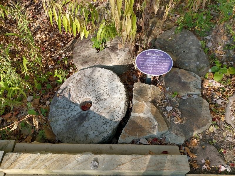
Photographed by Tom Bosse, September 21, 2025
2. Millstones Marker

Photographed by Tom Bosse, September 21, 2025
3. Millstones Marker
Credits. This page was last revised on February 3, 2026. It was originally submitted on February 3, 2026, by Tom Bosse of Jefferson City, Tennessee. This page has been viewed 38 times since then. Photos: 1, 2, 3. submitted on February 3, 2026, by Tom Bosse of Jefferson City, Tennessee. • Devry Becker Jones was the editor who published this page.
