
Lahaina in Maui County, Hawaii — Hawaiian Island Archipelago (Pacific Ocean)
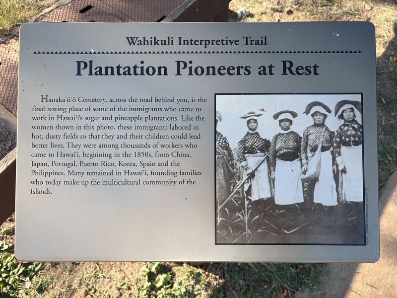
Plantation Pioneers at Rest
| — | Wahikuli Interpretive Trail | — |
Photographed by Darren Jefferson Clay, December 7, 2025
1. Plantation Pioneers at Rest Marker
Topics. This historical marker is listed in these topic lists: Agriculture • Cemeteries & Burial Sites • Immigration • Industry & Commerce.
Location. 20° 54.662′ N, 156° 41.376′ W. Marker is in Lahaina, Hawaii, in Maui County. It can be reached from Honoapiilani Highway (Hawaii Route 30) north of Leialii Parkway, on the left when traveling north. Touch for map. Marker is at or near this postal address: 2501 Honoapiilani Highway, Wailuku HI 96793, United States of America. Touch for directions.

Regionally,
this page online
Other nearby markers. At least 8 other markers are within 2 miles of this marker, measured as the crow flies: Grinding Stones, Hoana (about 500 feet away, measured in a direct line); An Island Without Ghosts (approx. half a mile away); Koko O Na Moku Race Track (approx. 0.8 miles away); The Stones of Moemoe and Wahine O Manua (approx. one mile away); Pu'u Keka'a and Chief Kahekili (approx. one mile away); Keka'a Landing Pier (approx. 1.3 miles away); Ka'anapali Airport (HKP) 1961-1986 (approx. 1.8 miles away); This Park Dedicated in Honor of King Kahekili Nui Ahumanu (approx. 1.8 miles away). Touch for a list and map of all markers in Lahaina.
Photographed by Darren Jefferson Clay, December 7, 2025
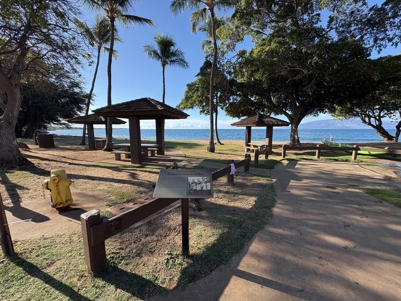
2. Plantation Pioneers at Rest Marker
Photographed by Darren Jefferson Clay, December 7, 2025
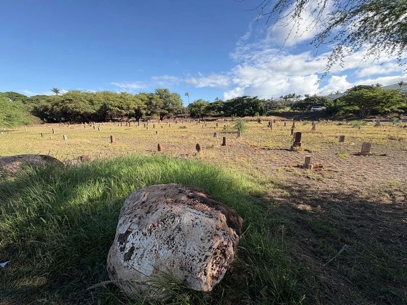
3. Hanaka'ö'ö Cemetery

Photographed by Darren Jefferson Clay, December 7, 2025
4. Headstone of 4-month old Tadashi Takahashi in the Hanaka'ö'ö Cemetery.

Photographed by Darren Jefferson Clay, December 7, 2025
5. Headstone in the Hanaka'ö'ö Cemetery
Credits. This page was last revised on February 9, 2026. It was originally submitted on February 7, 2026, by Darren Jefferson Clay of Duluth, Georgia. This page has been viewed 55 times since then. Photos: 1, 2, 3, 4, 5. submitted on February 8, 2026, by Darren Jefferson Clay of Duluth, Georgia. • Devry Becker Jones was the editor who published this page.
