Near Williamsburg in James City County, Virginia — The American South (Mid-Atlantic)
Geological Facts
| — | Greensprings Interpretive Trail | — |
Photographed by Evan Dwyer, February 14, 2026
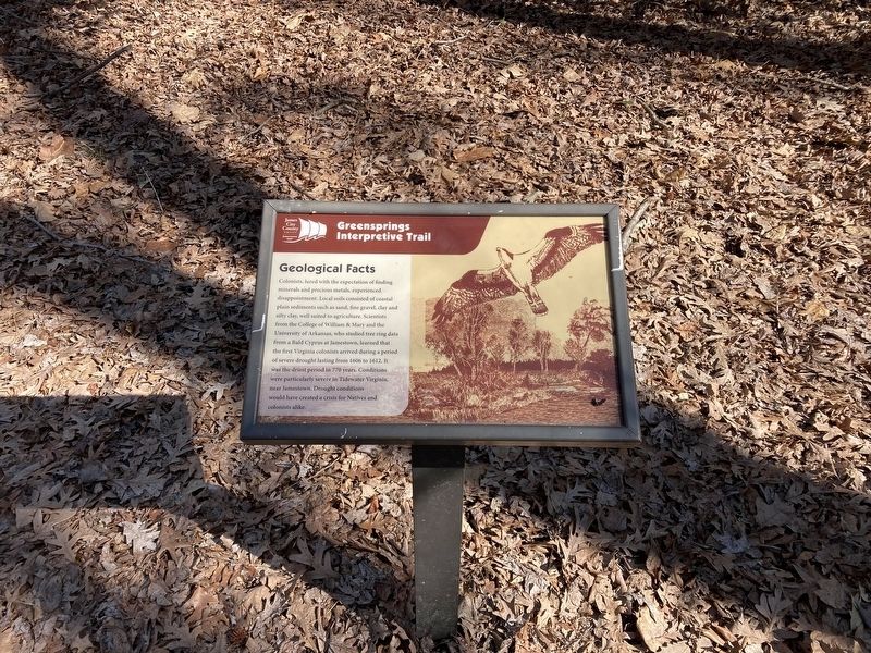
1. Geological Facts Marker
Colonists, lured with the expectation of finding minerals and precious metals, experienced disappointment. Local soils consisted of coastal plain sediments such as sand, fine gravel, clay and silty clay, well suited to agriculture. Scientists from the College of William & Mary and the University of Arkansas, who studied tree ring data from a Bald Cyprus at Jamestown, learned that the first Virginia colonists arrived during a period of severe drought lasting from 1606 to 1612. It was the driest period in 770 years. Conditions were particularly severe in Tidewater Virginia, near Jamestown. Drought conditions would have created a crisis for Natives and colonists alike.
Erected by James City County Parks & Recreation.
Topics. This historical marker is listed in these topic lists: Anthropology & Archaeology • Colonial Era • Education • Settlements & Settlers. A significant historical year for this entry is 1607.
Location. 37° 14.866′ N, 76° 47.211′ W. Marker is near Williamsburg, Virginia, in James City County. It can be reached from Greenspring Trail south of Eagle Trail, on the right when traveling north.
this page online

Regionally, this marker is on Virginia’s Peninsula, in Coastal Virginia, and in the Hampton Roads Metropolitan Area. It is also in the American South, specifically in the Upper South, in the Tidewater, and on the Eastern Seaboard. Globally, it is in the North Atlantic Region, North America, the Western Hemisphere, the Western World, and the Anglosphere. Historically, it finds itself in what was once the territory of the Mississippian Culture, one of the original Thirteen Colonies, one of the Confederate States of America, and the Antebellum South.
Other nearby markers. At least 8 other markers are within walking distance of this marker: First English Settlement at Jamestown (within shouting distance of this marker); Arched Tree (about 300 feet away, measured in a direct line); The New World Beckons (about 300 feet away); The Virginia Wilderness (about 400 feet away); Fallen Tree (about 400 feet away); The Powhatan Creek Watershed (about 600 feet away); Ephemeral Streams (about 800 feet away); Forebay Drainage Basins (approx. 0.2 miles away). Touch for a list and map of all markers in Williamsburg.
Credits. This page was last revised on March 14, 2026. It was originally submitted on March 13, 2026, by Evan Dwyer of Richmond, Virginia. This page has been viewed 16 times since then. Photo 1. submitted on March 13, 2026, by Evan Dwyer of Richmond, Virginia. • Devry Becker Jones was the editor who published this page.
