Nassau, New Providence, The Bahamas — Caribbean Region (Atlantic Ocean)
The Caves
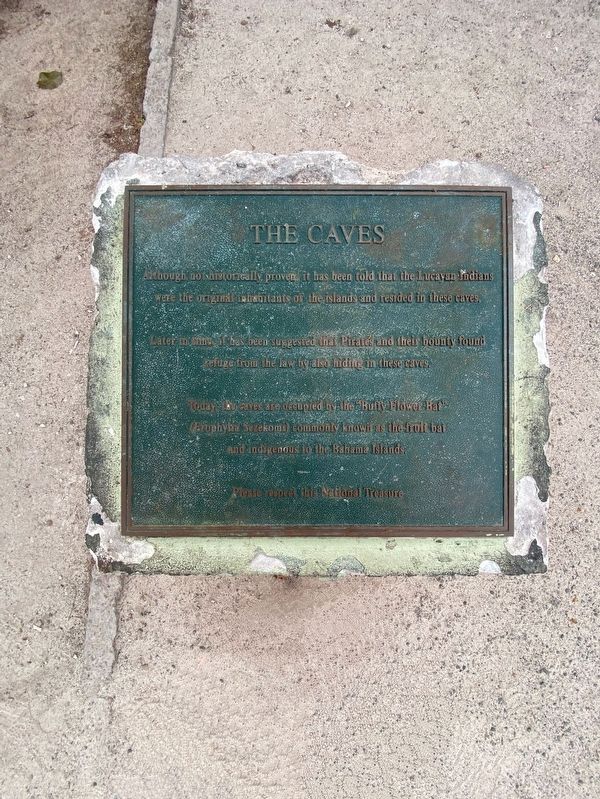
Photographed by Diane Murphy, March 14, 2026
1. The Caves Marker
Topics. This historical marker is listed in these topic lists: Animals • Anthropology & Archaeology • Indigenous Peoples and Communities • Parks & Recreational Areas.
Location. 25° 4.152′ N, 77° 27.026′ W. Marker is in Nassau, New Providence. It is on West Bay Street east of Blake Road, on the left when traveling west. Touch for map. Touch for directions.

Regionally, it is on the Atlantic Ocean, in North America, in the Western Hemisphere, and in the Anglosphere. Historically, it finds itself in what was once a British colony.
Other nearby markers. At least 6 other markers are within 11 kilometers of this marker,
this page online
Another marker is no longer nearby. Hand-Cut Well (was approx. 10.2 kilometers away but has been replaced with another marker now near it).
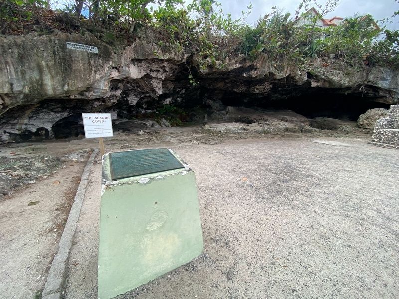
Photographed by Diane Murphy, March 2026
2. The Caves Marker
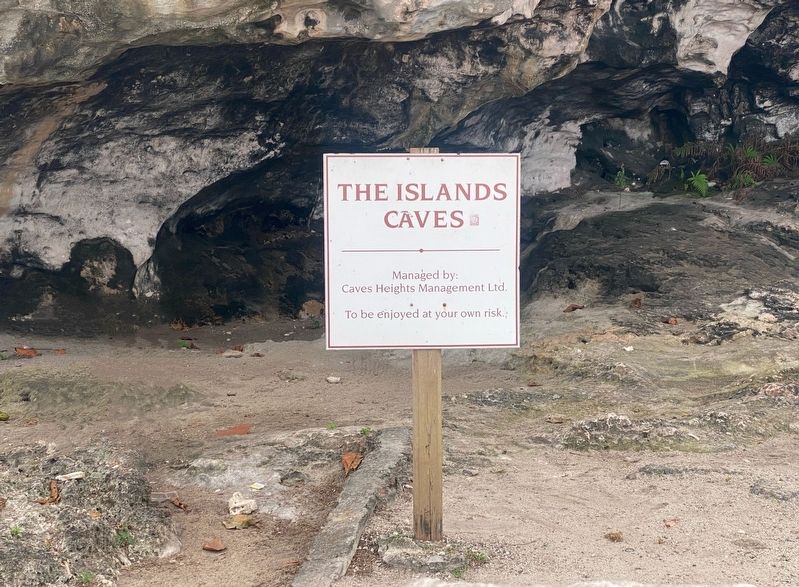
Photographed by Diane Murphy, March 2026
3. The Caves Marker
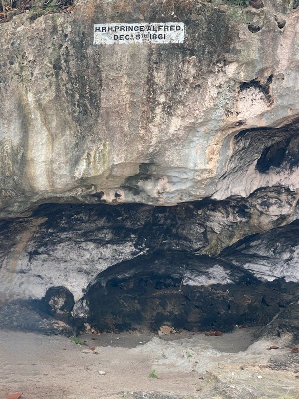
Photographed by Diane Murphy, March 2026
4. The Caves Marker
Credits. This page was last revised on March 18, 2026. It was originally submitted on March 17, 2026, by Diane Murphy of Saint Cloud, Florida. This page has been viewed 23 times since then. Photos: 1, 2, 3, 4. submitted on March 17, 2026, by Diane Murphy of Saint Cloud, Florida. • Devry Becker Jones was the editor who published this page.
