
Whakarewarewa in Rotorua in Rotorua District, Bay of Plenty Region, New Zealand — Southwestern Pacific Ocean
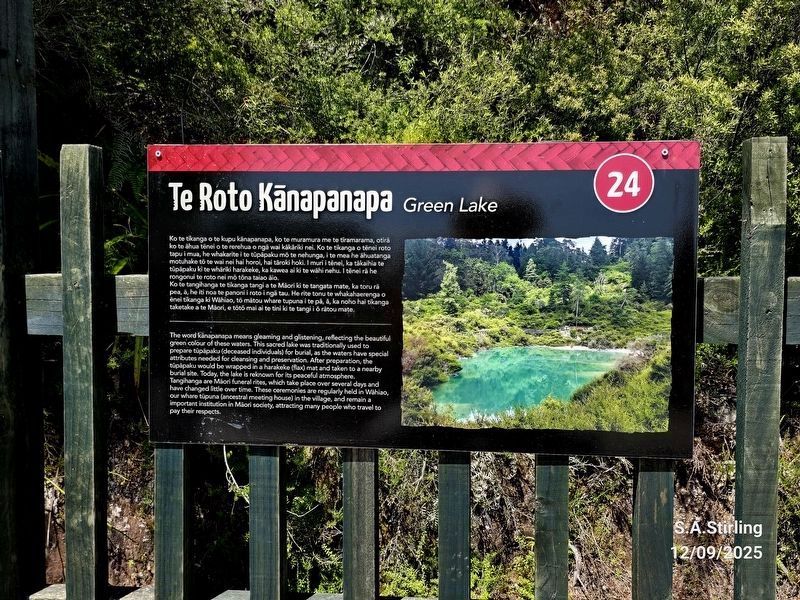
Roto Kanapanapa
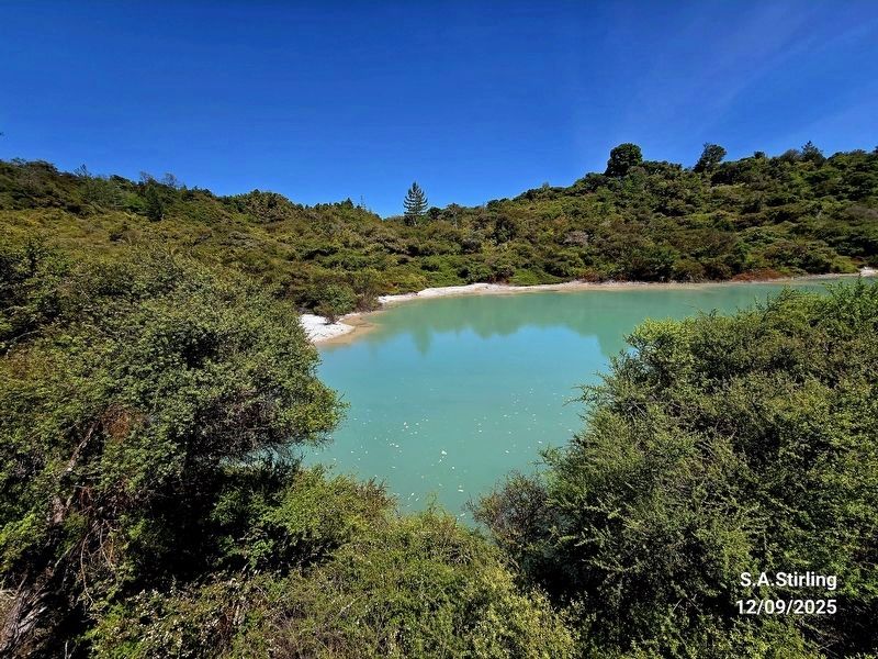
Green Lake
Photographed by Shirley A Stirling, December 9, 2025
1. Te Roto Kanapanapa Marker

(Marker Number 24.)
Topics. This historical marker is listed in these topic lists: Anthropology & Archaeology • Environment • Indigenous Peoples and Communities.
Location. 38° 9.919′ S, 176° 15.434′ E. Marker is in Rotorua, Bay of Plenty Region, in Rotorua District. It is
this page online

Regionally, it is in Oceania, in Australasia, in Polynesia, in the Pacific Ocean, on the Ring of Fire, on the Pacific Rim, in the Western World, and in the Anglosphere. Historically, it finds itself in what was once a British colony.
Other nearby markers. At least 8 other markers are within 3 kilometers of this marker, measured as the crow flies: New Zealand Centennial (approx. 0.3 kilometers away); Te Arawa Hāhi Mihinare / Te Arawa Anglican Church (approx. 0.4 kilometers away); Priest & Radium Hot Springs (approx. 3 kilometers away); Boer War 1899-1902 (approx. 3.3 kilometers away); Wylie Memorial (approx. 3.4 kilometers away); Government Gardens (approx. 3.4 kilometers away); Prince’s Gate Arches (approx. 3.4 kilometers away); Nga Whakairo Tupuna (Ancestral Carvings) at the Hinemoa and Arawa Street entrances to the gardens (approx. 3.4 kilometers away). Touch for a list and map
Photographed by Shirley A Stirling, December 9, 2025
2. Roto Kanapanapa (Green Lake)
Credits. This page was last revised on April 2, 2026. It was originally submitted on March 21, 2026, by Shirley A Stirling of Lacey, Washington. This page has been viewed 28 times since then. Photos: 1. submitted on March 21, 2026, by Shirley A Stirling of Lacey, Washington. 2. submitted on March 30, 2026, by Shirley A Stirling of Lacey, Washington. • Devry Becker Jones was the editor who published this page.
Editor’s want-list for this marker. Transcription of the Maori text. • Can you help?
