
Wompatuck State Park in Hingham in Plymouth County, Massachusetts — The American Northeast (New England)
General History
Photographed by G.W.Bartlett
1. General History Marker
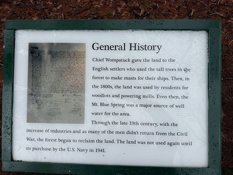
Chief Wompatuck gave the land to the English settlers who used the tall trees in the forest to make masts for their ships. Then, in the 1800s, the land was used by residents for woodlots and powering mills. Even then, the Mt. Blue Spring was a major source of well water for the area.
Through the late 19th century, with the increase of industries and as many of the men didn't return from the Civil War, the forest began to reclaim the land. The land was not used again until its purchase by the U.S. Navy in 1941
Erected by Massachusetts Department of Conservation and Recreation (DCR).
Topics. This historical marker is listed in these topic lists: Colonial Era • Indigenous Peoples and Communities • Parks & Recreational Areas • Settlements & Settlers. A significant historical year for this entry is 1941.
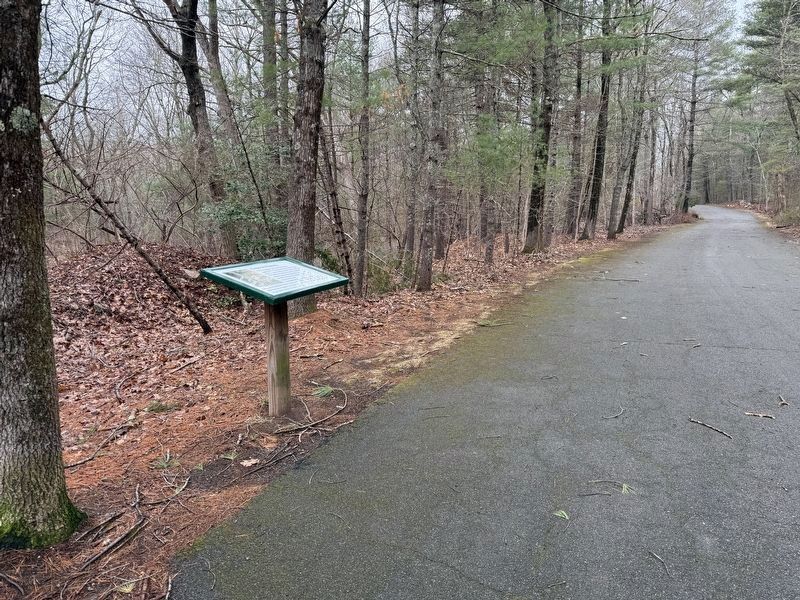
Location. 42° 12.971′ N, 70° 51.458′ W. Marker is in Hingham, Massachusetts, in Plymouth County. It is in Wompatuck State Park. It is on Healthy Heart Trail 0.3 miles east of Union Street, on the left when traveling north. The marker is on the Healthy Heart Trail in the park near trail marker N3. After
this page online

Regionally, this marker is on the South Shore. It is also in the American Northeast, in New England, and on the Eastern Seaboard. Globally, it is in the North Atlantic Region, North America, the Western Hemisphere, the Western World, and the Anglosphere. Historically, it finds itself in what was once one of the original Thirteen Colonies.
Other nearby markers. At least 8 other markers are within 2 miles of this marker, measured as the crow flies: US Military History (about 300 feet away, measured in a direct line); Chief Wompatuck (approx. ¼ mile away); The Mill at Triphammer Pond (approx. 0.7 miles away); Hingham Second Parish Church (approx. 1.4 miles away); Second Almshouse (approx. 1½ miles away); Korean War (approx. 1.6 miles away); These Trees and This Stone (approx. 1.6 miles away); In Memoriam to Hingham’s War Dead (approx. 1.6 miles
Photographed by G.W.Bartlett
2. General History Marker
Regarding General History. The marker describes the history of the land that Wompatuck State is on and mentions that the park is named after Chief Wompatuck of the Massachusetts Indian tribe.
Related marker. Click here for another marker that is related to this marker. Chief Wompatuck
Also see . . .
1. Wompatuck Park Maps. Friends of Wompatuck posts a very helpful map for exploring the park.<blockquote>Here you can find several different maps to help you better navigate & enjoy your time in the park. (Submitted on March 21, 2026, by G.W.Bartlett of Hingham, Massachusetts.)
2. Wompatuck.
Wompatuck (ca. 1627 - 1669), was sachem, or paramount chief, of the Mattakeesett band of Massachusett Indians. Wompatuck was also known as Wampatuck, Josias Wampatuck, and Josiah Sagamore.(Submitted on March 21, 2026, by G.W.Bartlett of Hingham, Massachusetts.)
3. History of Hingham, Page 243/204.
The following is a literal copy of the deed of the township of Hingham, given by the Indians in 1665:(Submitted on March 21, 2026, by G.W.Bartlett of Hingham, Massachusetts.)
Additional keywords. Hingham
Photographed by G.W.Bartlett
3. Old Braintree Deed inset close up
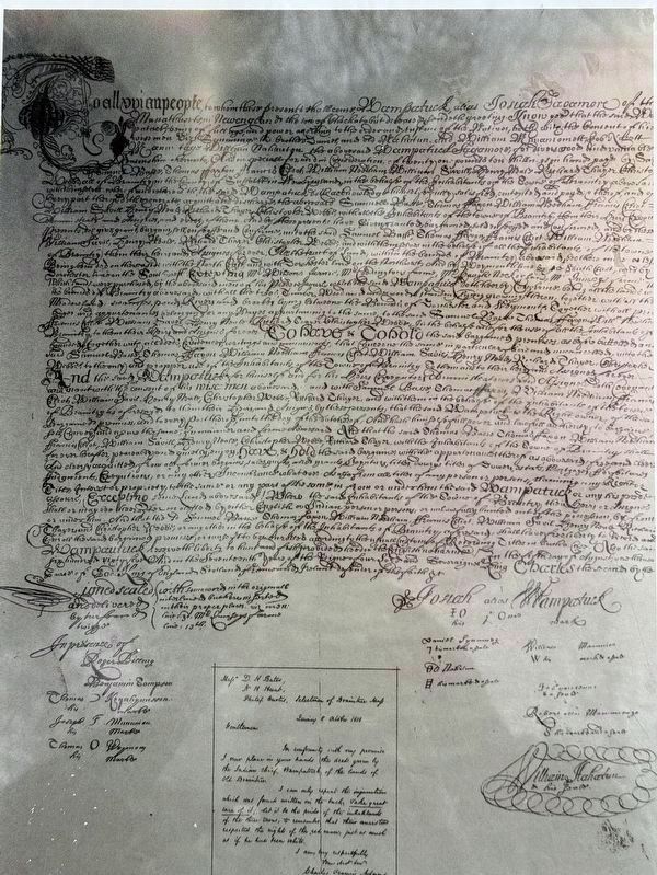
A close-up shot of the Old Braintree Deed signed by Josiah Wompatuck in 1665 and others, including a note by Charles Francis Adams in 1858, son of John Adams. A copy of this document can be viewed in the Wompatuck State Park Visitor Center Lobby including a typed version.
Photographed by G.W.Bartlett
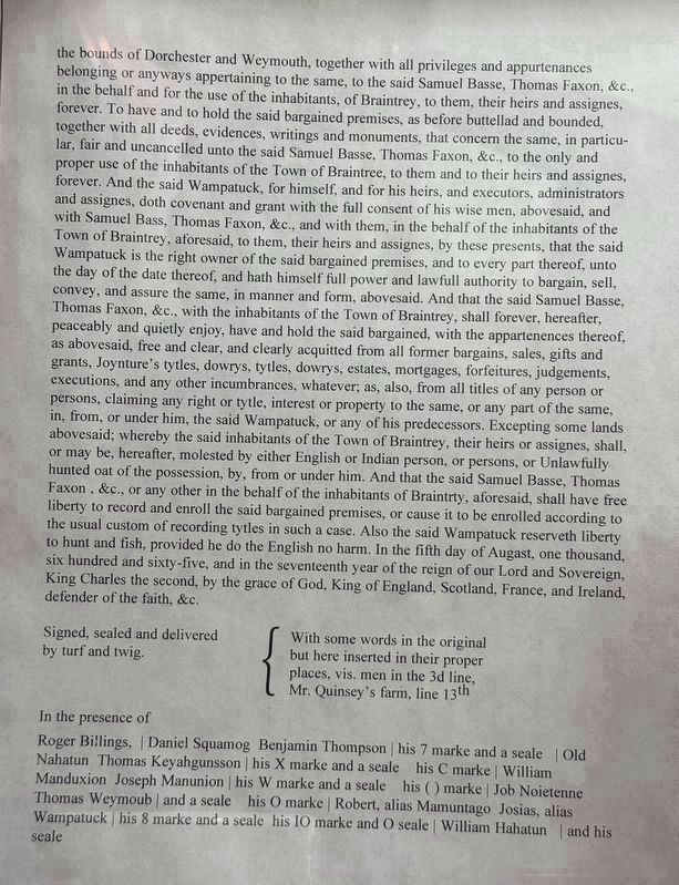
4. Deed of Old Braintree typed
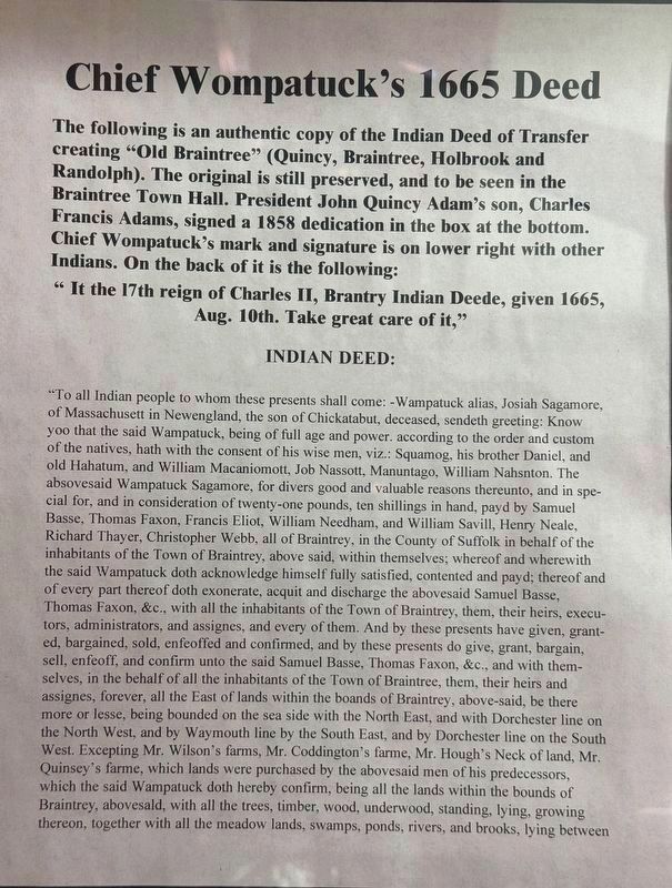
Page 1 of typed deed, including introductory description.
Photographed by G.W.Bartlett
5. Deed of Old Braintree typed, pg. 2
Page 2 of typed deed. Displayed in Wompatuck State Park Visitor Center lobby.
Photographed by G.W.Bartlett, March 12, 2026
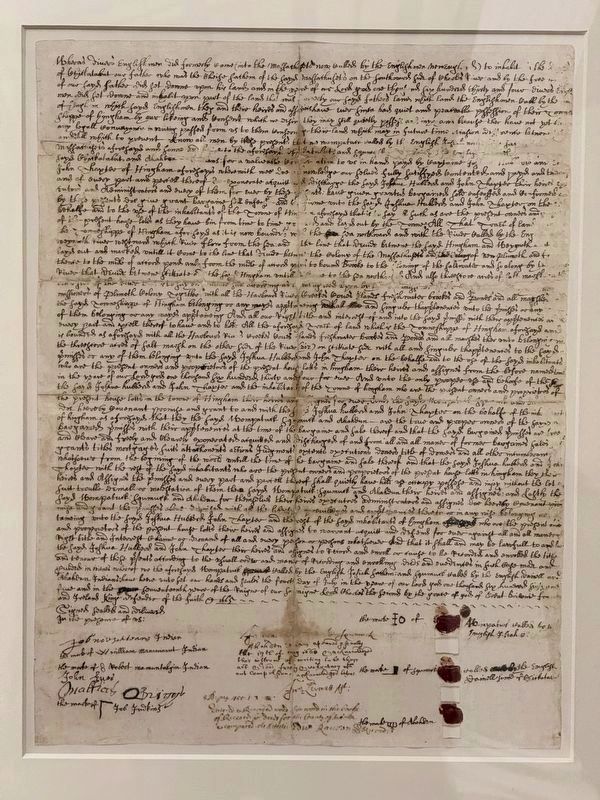
6. Hingham deed
Hingham, Massachusetts deed is another document signed by Josiah Wompatuck that can be viewed at the Hingham Town Hall, first floor hallway. The land at Wompatuck State Park is included in the boundaries of this deed.
Photographed by G.W.Bartlett, December 21, 2025
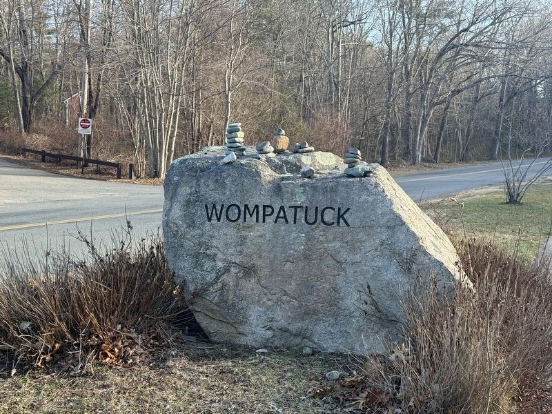
7. Wompatuck State Park Entrance
This Rock marks the entrance to Wompatuck State Park. After passing this rock, the parking lot to stop and walk to view the General History marker is the second parking lot on the left.
Credits. This page was last revised on March 31, 2026. It was originally submitted on March 21, 2026, by G.W.Bartlett of Hingham, Massachusetts. This page has been viewed 21 times since then. Photos: 1, 2, 3, 4. submitted on March 21, 2026, by G.W.Bartlett of Hingham, Massachusetts. 5. submitted on March 23, 2026, by G.W.Bartlett of Hingham, Massachusetts. 6, 7. submitted on March 21, 2026, by G.W.Bartlett of Hingham, Massachusetts. • Devry Becker Jones was the editor who published this page.
