
Plano in Collin County, Texas — The American South (West South Central)
The Muncey Massacre
Collin County’s Last Fatal Indian Raid Burial Site
Photographed by Mark St. Martin, March 18, 2026
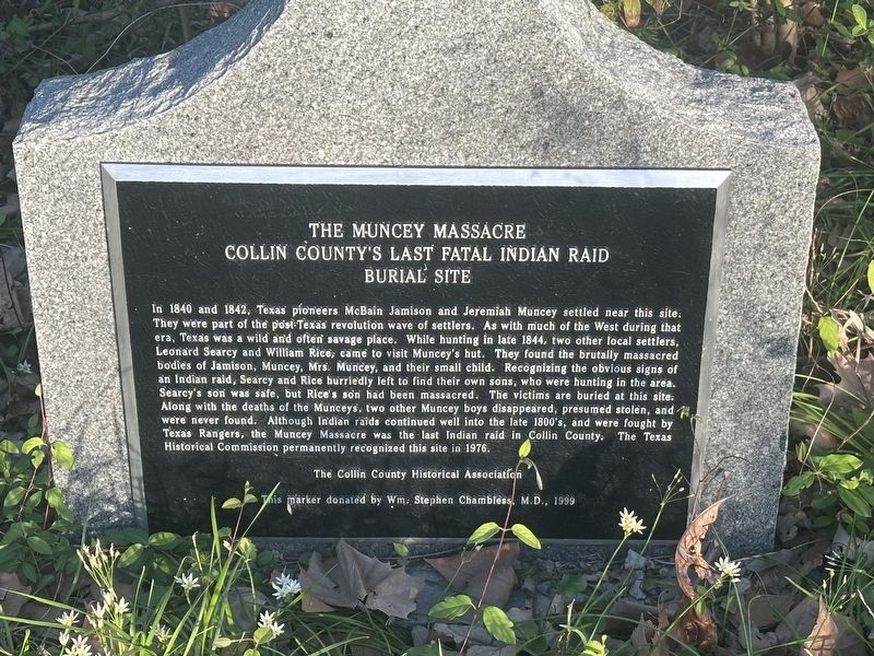
1. The Muncey Massacre Collin County’s Last Fatal Indian Raid Burial Site Marker
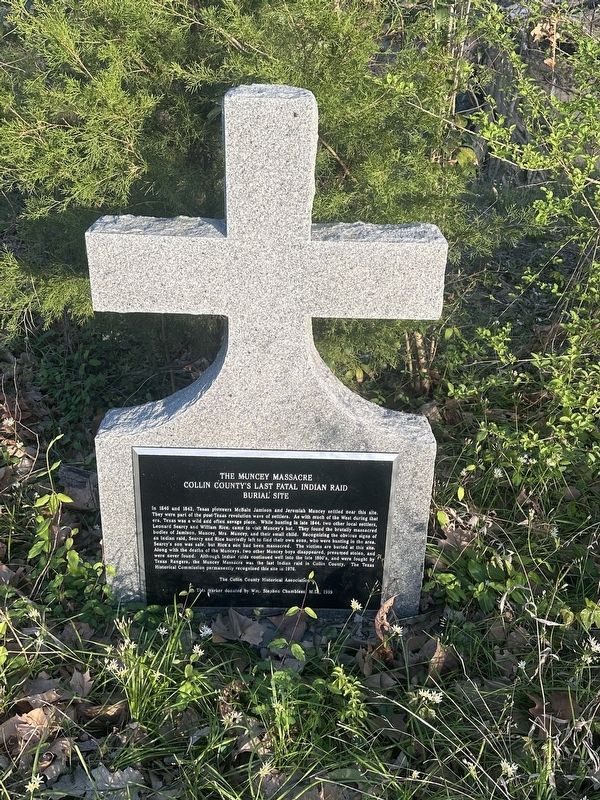
In 1840 and 1842, Texas pioneers McBain Jamison and Jeremiah Muncey settled near this site. They were part of the post-Texas revolution wave of settlers. As with much of the West during that era, Texas was a wild and often savage place. While hunting in late 1844, two other local settlers, Leonard Searcy and William Rice, came to visit Muncey's hut. They found the brutally massacred bodies of Jamison, Muncey, Mrs. Muncey, and their small child. Recognizing the obvious signs of an Indian raid, Searcy and Rice hurriedly left to find their own sons, who were hunting in the area. Searcy's son was safe, but Rice's son had been massacred. The victims are buried at this site. Along with the deaths of the Munceys, two other Muncey boys disappeared, presumed stolen, and, were never found. Although Indian raids continued well into the late 1800's, and were fought by Texas Rangers, the Muncey Massacre was the last Indian raid in Collin County. The Texas Historical Commission permanently recognized this site in 1976.
Erected 1999 by Collin County Historical Association; donated by Wm. Stephen Chambless, M.D.
Topics. This
this page online
Location. 33° 4.049′ N, 96° 40.885′ W. Marker is in Plano, Texas, in Collin County. It can be reached from Bluebonnet Trail south of Destin Drive, on the right when traveling south. Touch for map. Marker is at or near this postal address: 6920 Bluebonnet Trail, Plano TX 75074, United States of America. Touch for directions.

Regionally, this marker is in the Prairies & Lakes Region and in the Dallas-Fort Worth Metropolitan Area. Globally, it is in North America, a Gulf of Mexico state, the Western Hemisphere, the Western World, and the Anglosphere. Historically, it finds itself in what was once New Spain, the Republic of Texas, one of the Confederate States of America, and the Antebellum South.
Other nearby markers. At least 8 other markers are within 3 miles of this marker, measured as the crow flies: A different marker also named The Muncey Massacre (approx. 1.2 miles away); First Methodist Church of Plano
Photographed by Mark St. Martin, March 18, 2026
2. The Muncey Massacre Marker
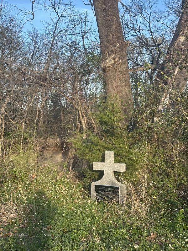
More about this marker. The marker is difficult to find. It is on the creek side of a trail that is accessed near Dallas Golf Cars parking lot. You will need to walk 1/4 to 1/3 of a mile behind the parking lot and look for an abandoned jet ski. Near the jet ski, it appears a trail once led back to the marker. The marker is under a large sycamore tree. Viewing the marker in the summer may be challenging if the trails are overgrown.
Photographed by Mark St. Martin, March 18, 2026
3. The Muncey Massacre Marker
Credits. This page was last revised on March 23, 2026. It was originally submitted on March 22, 2026, by Mark St. Martin of Kalamazoo, Michigan. This page has been viewed 62 times since then. Last updated on March 22, 2026, by Mark St. Martin of Kalamazoo, Michigan. Photos: 1, 2, 3. submitted on March 22, 2026, by Mark St. Martin of Kalamazoo, Michigan. • Devry Becker Jones was the editor who published this page.
