Near Fredericksburg in Spotsylvania County, Virginia — The American South (Mid-Atlantic)
Ancient Crossroads
12,000 B.P.
Photographed by Evan Dwyer, March 14, 2026
1. Ancient Crossroads Marker
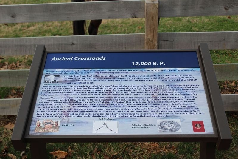
The river crossing at Ely's Ford was formed before prehistoric man arrived. It is about equal distance between the Blue Ridge Mountains and Chesapeake Bay, part of an ancient trail long before Europeans arrived.
On this hilltop, David Bushnell Jr., archaeologist, and anthropologist with the Smithsonian Institution, found tools, stone flakes, and pottery from a very ancient settlement. Some artifacts date to 12,000 BP and are thought to be one of the earliest forms of lithic technology along the Atlantic coast from the Paleo-Indian period, circa 12,000 to 8,000 BP and in the postglacial epoch.
Paleo-era artifacts, nearby burial mounds; two ancient "V" shaped fish dams below and above the river crossing, are a confirmation of a very significant site. Countless specimens and artifacts found here indicate this may have been an important spiritual and cultural destination. In ancient times, rivers brought abundance and life to the people along its banks and were often considered divine. Water from nearby mineral springs provided curative powers to primitive societies and likely contributed to mystical beliefs here. Ancient
this page online
Monacan, Manahoac, and Saponi tribes of the Siouan speaking nation are believed to have migrated across the Allegheny Mountains and settled at this river crossing roughly 4,000 years ago. The Siouans domesticated food, including corn, beans, squash, sunflowers, and fruit trees. The word Manahoac is believed to be derived from the word "mani" which meant "water." They hunted deer, elk, and small game. They would leave their villages every year to visit their hunting camps, sometimes raiding neighboring tribes. The Monacan and Saponi traded with the Powhatans to the east and Iroquois to the north. They buried their dead in mounds, a tradition that differentiates them from neighboring Indian nations. Monacan and Saponi settlements were disrupted by aggressive Iroquois war parties traveling along the east side of the Blue Ridge Mountains. Captain John Smith's map of 1624 shows four other tribes united with Manahoacs near Ely's Ford.
Photographed by Evan Dwyer, March 14, 2026
2. Ancient Crossroads Marker
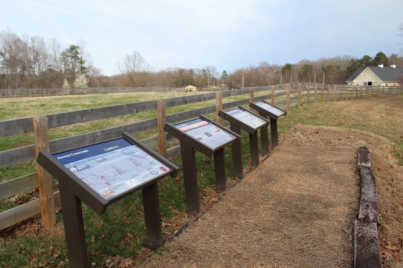
And three others at the same wayside.
Erected by Spotsylvania Historical Association, Inc.
Topics. This historical marker is listed in these topic lists: Anthropology & Archaeology • Indigenous Peoples and Communities • Roads & Vehicles. A significant historical year for this entry is 1624.
Location. 38° 21.38′ N, 77° 40.7′ W. Marker is near Fredericksburg, Virginia, in Spotsylvania County. It is on Elys Ford Road (County Route 610) 0.1 miles north of Old Vaucluse Road, on the right when traveling north. Touch for map. Marker is at or near this postal address: 10413 Elys Ford Rd, Fredericksburg VA 22407, United States of America. Touch for directions.

Regionally, this marker is in the Washington Metropolitan Area, in Northern Virginia, and in the Piedmont. It is also in the American South, specifically in the Upper South,
Photographed by Evan Dwyer, March 14, 2026
3. Ely's Ford Wayside
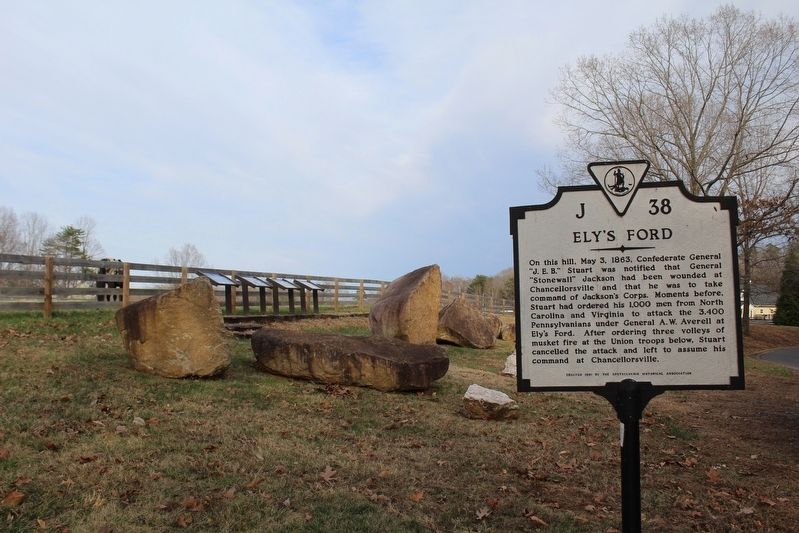
The Ancient Crossroads marker is the furthest left of the four by the horse fence.
Other nearby markers. At least 8 other markers are within 3 miles of this marker, measured as the crow flies: Heaven and Earth (here, next to this marker); Legends on Horseback (here, next to this marker); Lookout Tower and Signal Stations (here, next to this marker); Ely’s Ford (a few steps from this marker); Chancellorsville Campaign (approx. 2.8 miles away); Recipe for Union Disaster (approx. 2.8 miles away); Jackson Attacks (approx. 2.8 miles away); Pressing the Attack (approx. 2.8 miles away). Touch for a list and map of all markers in Fredericksburg.
Another marker is no longer nearby. The Flying Dutchmen (was approx. 2.8 miles away but has been replaced with another marker now near it).
Photographed by Evan Dwyer, March 14, 2026
4. Ely's Ford
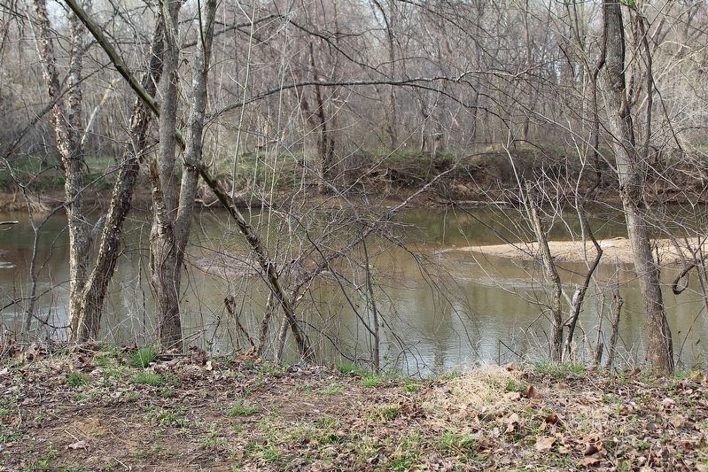
From the parking area of the VDWR boat ramp
Photographed by Evan Dwyer, March 14, 2026
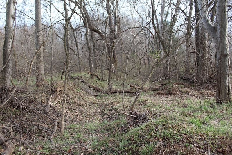
5. Ely's Ford Road Trace
Though likely not as ancient as the marker's period of reference, the trace of the old road (note how deep the roadbed is below grade) down to the ford is still visible in the trees next to the VDWR parking lot at the boat ramp. Perhaps this road began as an ancient footpath?
Credits. This page was last revised on April 2, 2026. It was originally submitted on April 2, 2026, by Evan Dwyer of Richmond, Virginia. This page has been viewed 32 times since then. Photos: 1, 2, 3, 4, 5. submitted on April 2, 2026, by Evan Dwyer of Richmond, Virginia. • Devry Becker Jones was the editor who published this page.
