Oatman in Mohave County, Arizona — The American Mountains (Southwest)
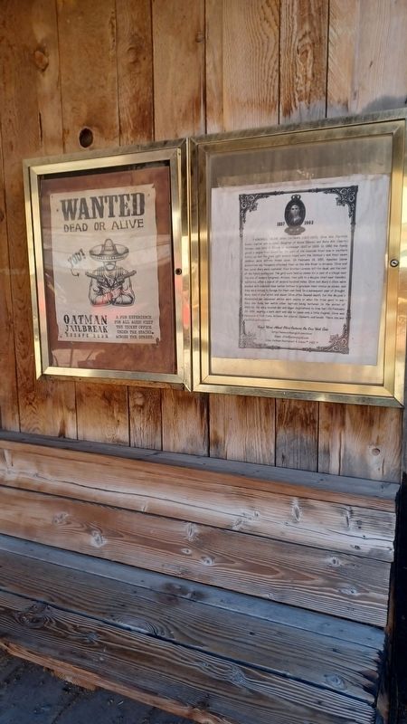
Fairchild, Olive and Oatman (1837 - 1903)

Photographed by Denise Boose, April 10, 2026
1. Fairchild, Olive and Oatman (1837 - 1903) Marker
this page online
Erected by Olive Oatman Restaurant & Saloon.
Topics. This historical marker is listed in these topic lists: Immigration • Indigenous Peoples and Communities • Settlements & Settlers • Women. A significant historical date for this entry is February 18, 1851.
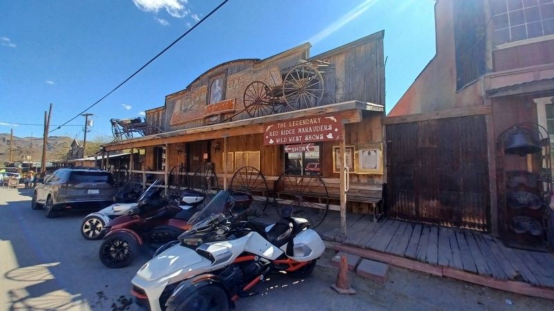
Location. 35° 1.576′ N, 114° 23.002′ W. Marker is in Oatman, Arizona, in Mohave County. It is on Main St, on the right when traveling north. Located on the Olive Oatman Ice Cream Palor & Saloon building which is closed due to a fire in Feb 2025. Touch for map. Marker is at or near this postal address: 171 Main St, Oatman AZ 86433, United States of America. Touch for directions.

Regionally, this marker is in Arizona’s Colorado River Valley. It is also in the American Southwest. Globally, it is in North America, the Western Hemisphere, the Western World, and the Anglosphere. Historically, it finds itself in what was once New Spain
Photographed by Denise Boose, April 10, 2026
2. Fairchild, Olive and Oatman (1837 - 1903) Marker
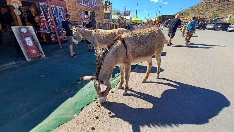
Other nearby markers. At least 8 other markers are within walking distance of this marker: Durlin Hotel (a few steps from this marker); Olive Ann Oatman Fairchild (a few steps from this marker); Oatman (within shouting distance of this marker); Gold Mining Ghost Town, Oatman, Arizona (within shouting distance of this marker); Arizona Hotel (within shouting distance of this marker); Oatman Arizona and its Burros (within shouting distance of this marker); a different marker also named Oatman (within shouting distance of this marker); Oatman, Arizona (within shouting distance of this marker). Touch for a list and map of all markers in Oatman.
Photographed by Denise Boose, April 10, 2026
3. Fairchild, Olive and Oatman (1837 - 1903) Marker
Photographed by Denise Boose, April 10, 2026
4. Fairchild, Olive and Oatman (1837 - 1903) Marker
Locals
Credits. This page was last revised on April 14, 2026. It was originally submitted on April 14, 2026, by Denise Boose of Tehachapi, California. This page has been viewed 29 times since then. Photos: 1, 2, 3, 4. submitted on April 14, 2026, by Denise Boose of Tehachapi, California. • Andrew Ruppenstein was the editor who published this page.
