Petoskey in Emmet County, Michigan — The American Midwest (Great Lakes)
The History of Bear River
Photographed by Joel Seewald, April 13, 2026
1. The History of Bear River Marker
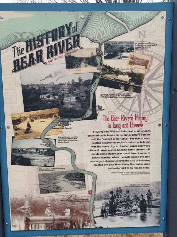
The Bear River's History is Long and Diverse
Flowing from Walloon Lake, Native Americans gathered on its banks for centuries before settlers built the first mill in the 1850s. The river's lower section became the region's industrial hub and was the home of grist, lumber, paper and wood mills and power plants. Multiple dams created mill ponds and a steady year round flow of water to power industry. When the mills closed the area was largely abandoned until the City of Petoskey created the Bear River Valley Recreation Area and restored it to its natural state.
Photos courtesy of Little Traverse Historical Museum. The Museum is located at Bayfront Park.
Top right image captions: At least three different bridges were constructed across the river at Mitchell Street (top). A railroad bridge in the foreground; Mitchell St. bridge in the background. Looking north toward Little Traverse Bay (bottom).
Middle left image caption: The first bridge crossing over the Bear River was close to the present-day Bridge Street.
Lower left image captions: Mill operators had little concern for the environment (top). Native Americans
this page online
Bottom right image caption: Visitors have enjoyed the Bear River's waters for decades.
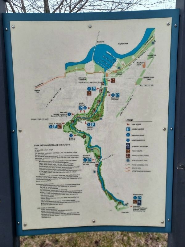
Park Information and Highlights
Size: 26 acres / 1.5 miles in length
Source: The Bear River headwaters is Walloon Lake, near Walloon Village.
Elevation change: The Bear River drops approximately 75 feet in it's last mile, creating spectacular whitewater rapids as it cascades into Little Traverse Bay.
Historical use:
- Indigenous history: Mouth of the Bear River was used by Native Americans as an encampment location.
- Mid-1800s to Mid-1900s: The river valley was highly industrialized, with multiple lumber-related mills and businesses located along its banks, which utilized a series of five dams for log impoundment and energy production.
- The last and largest dam, the Mitchell Dam, was removed in the early 1990s and the river was then returned to its natural channel.
Photographed by Joel Seewald, April 18, 2026
2. The History of Bear River Marker
Whitewater Improvements:
- Multiple access points and structures have been placed along the river to provide access and eddie-outs for whitewater enthusiasts of all skill levels.
For your safety, please read the following: - Class II through IV conditions may be encountered depending on river flow rates. Whitewater activities can present certain risks to users that can include abrasions, bodily injury, entrapment, drowning and death.
- When utilizing the river, know your ability and scout the river prior to launch.
- The novice area starts near the Festival Place shelter.
- Intermediate and advanced sections start downstream of the Sheridan St. park entry and launch.
Safety Recommendations:
- Wear helmet, life jacket, and abrasion protection;
- Know your abilities and limitations;
- Possess skills and abilities to self-right and self-rescue; and
- Employ the "Buddy System" - never participate in whitewater activities alone.
Erected by City of Petoskey.
Topics. This historical marker is listed in these topic lists: Environment • Indigenous Peoples and Communities • Industry & Commerce
Photographed by Joel Seewald, April 13, 2026
3. The History of Bear River Marker
Location. 45° 21.894′ N, 84° 57.72′ W. Marker is in Petoskey, Michigan, in Emmet County. It is on Sheridan Street half a mile east of Spring Street (U.S. 131), on the left when traveling east. Marker is at the Bear River Trail trailhead. Touch for map. Marker is at or near this postal address: 110 West Sheridan St, Petoskey MI 49770, United States of America. Touch for directions.

Regionally, this marker is in Northern Michigan Lower Peninsula, on the Straits of Mackinac, and in one of the Lake Michigan Shore counties. It is also in the American Midwest. Globally, it is in North America, in the Great North Woods, on the Great Lakes, in the Western Hemisphere, in the Western World, and in the Anglosphere. Historically, it finds itself in what was once the Viceroyalty of New France and also the Northwest Territory.
Other nearby markers. At least 8 other markers are within walking distance of this marker: Petoskey Post Office (approx. 0.7 miles away); Old Kent Bank of Petoskey (approx. 0.7 miles away); Coburn Building (approx. 0.7 miles away); Giles Restaurant
Photographed by Joel Seewald, April 13, 2026
4. The History of Bear River Marker
Photographed by Joel Seewald, April 13, 2026
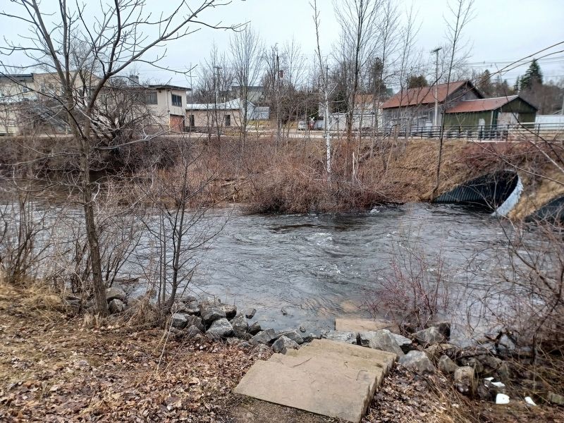
5. Bear River
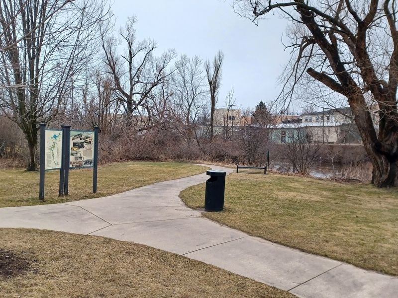
The Bear River from a few feet away from the marker.
Photographed by Joel Seewald, April 13, 2026
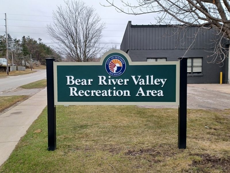
6. Bear River Valley Recreation Area
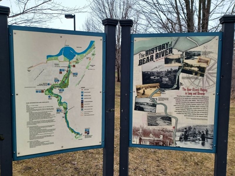
Park sign at the trailhead where the marker can be found.
Credits. This page was last revised on May 4, 2026. It was originally submitted on April 28, 2026, by Joel Seewald of Madison Heights, Michigan. This page has been viewed 45 times since then. Photos: 1, 2, 3, 4, 5, 6. submitted on April 28, 2026, by Joel Seewald of Madison Heights, Michigan.
