Cloverdale in Botetourt County, Virginia — The American South (Mid-Atlantic)
Old Carolina Road
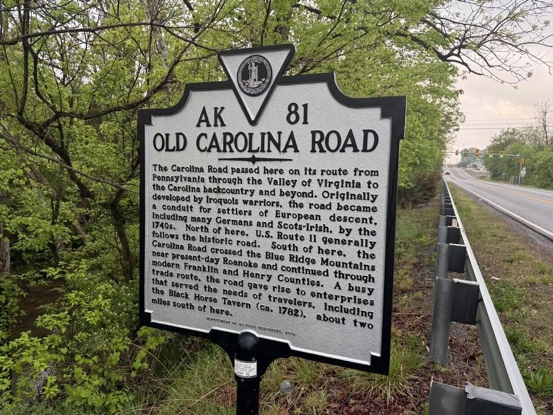
The Carolina Road passed here on its route from Pennsylvania through the Valley of Virginia to the Carolina backcountry and beyond. Originally developed by Iroquois warriors, the road became a conduit for settlers of European descent, including many Germans and Scots-Irish, by the 1740s. North of here, U.S. Route 11 generally follows the historic road. South of here, the Carolina Road crossed the Blue Ridge Mountains near present-day Roanoke and continued through modern Franklin and Henry Counties. A busy trade route, the road gave rise to enterprises that served the needs of travelers, including the Black Horse Tavern (ca. 1782), about two miles south of here.
Erected 2018 by Department of Historic Resources. (Marker Number AK-81.)
Topics and series. This historical marker is listed in these topic lists: Colonial Era • Indigenous Peoples and Communities • Roads & Vehicles • Settlements & Settlers. In addition, it is included in the Virginia Department of Historic Resources (DHR) series list.
Location. 37° 22.203′ N, 79° 54.469′ W. Marker is in Cloverdale,
this page online

Regionally, this marker is in the Mountain Region. It is also in the American South, specifically in the Upper South, in Appalachia, and specifically in Southern Appalachia. Globally, it is in North America, the Western Hemisphere, the Western World, and the Anglosphere. Historically, it finds itself in what was once the territory of the Mississippian Culture, one of the original Thirteen Colonies, one of the Confederate States of America, and the Antebellum South.
Other nearby markers. At least 8 other markers are within 5 miles of this marker, measured as the crow flies: A different marker also named Cloverdale Furnace (approx. 0.2 miles away); Roanoke County / Botetourt County (approx. 1.6 miles away); Hollins College (approx. 2.2 miles away); Daleville College (approx. 2.3 miles away); Botetourt County / Roanoke County (approx. 3.7 miles away); Greenfield (approx.
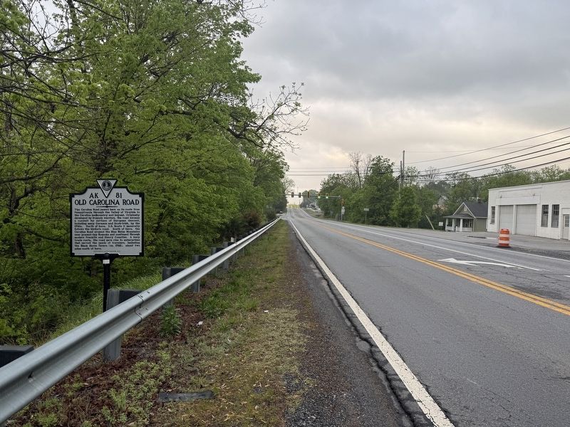
Other markers no longer nearby. Old Carolina Road (was a few steps from this marker but has been replaced with another marker now near it); Cloverdale Furnace (was approx. 0.2 miles away but has been confirmed missing).
Credits. This page was last revised on April 29, 2026. It was originally submitted on April 29, 2026, by Devry Becker Jones of Washington, District of Columbia. This page has been viewed 38 times since then. Photos: 1, 2. submitted on April 29, 2026, by Devry Becker Jones of Washington, District of Columbia.
