Marker Logo
THE HISTORICAL
MARKER DATABASE
“Bite-Size Bits of Local, National, and Global History”
Soddy-Daisy in Hamilton County, Tennessee — The American South (East South Central)
 

Poe's Tavern
 
 
Poe's Tavern Marker image. Click for full size.
Photographed by Jimmy Emerson, 2021
1. Poe's Tavern Marker
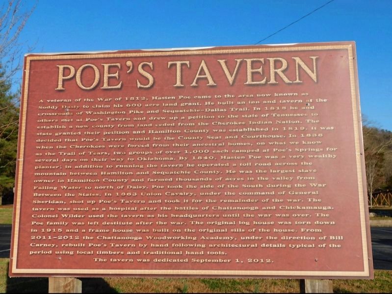
Inscription. A veteran of the War of 1812, Hasten Poe came to the area now known as Soddy Daisy to claim his 600 acre land grant. He built an inn and tavern at the crossroads of Washington Pike and Sequatchie-Dallas Trail. In 1818 he and others met at Poe's Tavern and drew up a petition to the state of Tennessee to establish a new county from land ceded from the Cherokee Indian Nation. The state granted their petition and Hamilton County was established in 1819. It was decided that Poe's Tavern would be the County Seat and Courthouse. In 1838 when the Cherokees were forced from their ancestral homes, on what we know as the Trail of Tears, two groups of over 1,000 each camped at Poe's Springs for several days on their way to Oklahoma. By 1840, Hasten Poe was a very wealthy planter; in addition to running the tavern he operated a toll road across the mountain between Hamilton and Sequatchie County. He was the largest slave owner in Hamilton County and farmed thousands of acres in the valley from Falling Water to north of Daisy. Poe took the side of the South during the War Between the States. In 1863 Union Cavalry, under the command
Paid Advertisement
Click or scan to see
this page online
of General Sheridan, shot up Poe's Tavern and took it for the remainder of the war. The tavern was used as a hospital after the battles of Chattanooga and Chickamauga. Colonel Wilder used the tavern as his headquarters until the war was over. The Poe family was left destitute after the war. The original log house was torn down in 1915 and a frame house was built on the original sills of the house. From 2011-2012 the Chattanooga Woodworking Academy, under the direction of Bill Carney, rebuilt Poe's Tavern by hand following architectural details typical of the period using local timbers and traditional hand tools.

The tavern was dedicated September 1, 2012.
 
Topics. This historical marker is listed in these topic lists: Indigenous Peoples and CommunitiesRoads & VehiclesSettlements & SettlersWar, US Civil. A significant historical year for this entry is 1818.
 
Location. 35° 14.8′ N, 85° 11.303′ W. Marker is in Soddy-Daisy, Tennessee, in Hamilton County. It is at the intersection of Dayton Pike and Boyd Street, on the left when traveling north on Dayton Pike. Touch for map. Marker is at or near this postal address:
Replica of Poe's Tavern & Marker image. Click for full size.
Photographed by Jimmy Emerson, 2021
2. Replica of Poe's Tavern & Marker
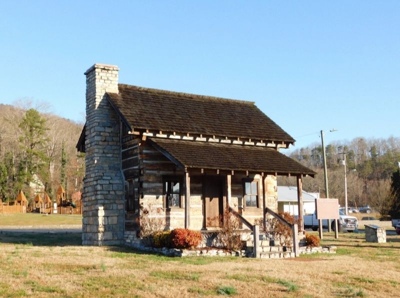
Located about 1/10 mile north of the site of the original tavern.

9817 Dayton Pike, Soddy Daisy TN 37379, United States of America. Touch for directions.

Regionally, this marker is in the American South, specifically in the Upper South, in Appalachia, and specifically in Southern Appalachia. Globally, it is in North America, the Western Hemisphere, the Western World, and the Anglosphere. Historically, it finds itself in what was once the original Cherokee Nation, the territory of the Mississippian Culture, one of the Confederate States of America, and the Antebellum South.

Other nearby markers. At least 8 other markers are within 10 miles of this marker, measured as the crow flies: A different marker also named Poe's Tavern (approx. 0.3 miles away); “Old Dallas” (approx. 5 miles away); Jackson Chapel Cemetery (approx. 5.1 miles away); Joseph Vann's Town (approx. 8.2 miles away); Old Harrison (approx. 8.4 miles away); Sherman Crosses the River (approx. 8.4 miles away); The Civilian Conservation Corps and Booker T. Washington State Park (approx. 9.4 miles away); Booker Taliaferro Washington• (approx. 9.4 miles away).
 
 
Credits. This page was last revised on May 28, 2026. It was originally submitted on May 22, 2026, by Jimmy Emerson of Dalton, Georgia. This page has been viewed 18 times since then. Photos:   1, 2. submitted on May 22, 2026, by Jimmy Emerson of Dalton, Georgia. • Bernard Fisher was the editor who published this page.

m=300356

CeraNet Cloud Computing sponsors the Historical Marker Database.
This website earns income from purchases you make after using our links to Amazon.com. We appreciate your support.
Paid Advertisement
Jul. 25, 2026