Manchester in Richmond, Virginia — The American South (Mid-Atlantic)
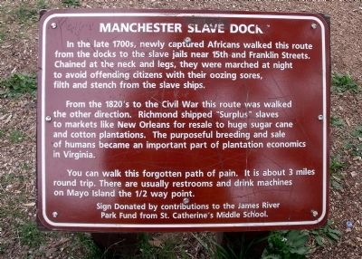
Manchester Slave Docks
From the 1820’s to the Civil War this route was walked the other direction. Richmond shipped “Surplus” slaves to markets like New Orleans for resale to huge sugar cane and cotton plantations. The purposeful breeding and sale of humans became an important part of plantation economics in Virginia.
You can walk this forgotten path of pain. It is about 3 miles round trip. There are usually restrooms and drink machines on Mayo Island the ˝ way point.
Sign donated by contributions to the James River Park Fund from St. Catherine’s Middle School.
Erected by St. Catherine’s Middle School.
Topics. This historical marker is listed in these topic lists: African Americans • Industry & Commerce • War, US Civil • Waterways & Vessels.
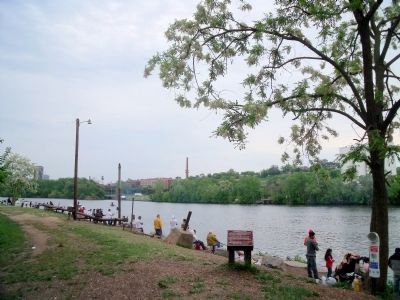
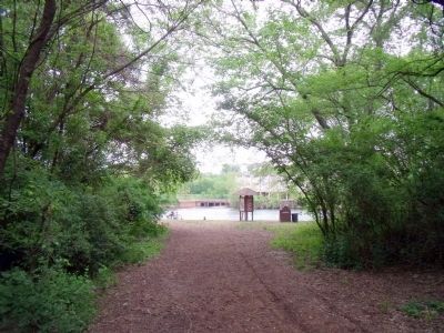
Location. This marker has been replaced by another marker nearby. It was located near 37° 31.277′ N, 77° 25.141′ W. Marker was in Richmond, Virginia. It was in Manchester. Marker could be reached from Brander Street, 0.6 miles east of Maury Street. This marker is located on the south bank of the James River in the Ancarrow’s Landing section of the James River Park System. Touch for map. Marker was in this post office area: Richmond VA 23224, United States of America. Touch for directions.
Other nearby markers. At least 8 other markers are within walking distance of this location. Crossing the Atlantic (here, next to this marker); People-Technology-Commerce-Warfare (a few steps from this marker); Up-River Venture (about 300 feet away, measured in a direct line); Mechanics of Slavery (about 300 feet away); Atlantic Sturgeon (about 400 feet away); Despair of Slavery (about 500 feet away); Ancarrow's Landing (about 500 feet away); Rocketts Landing (about 700 feet away). Touch for a list and map of all markers in Richmond.
Related marker. Click here for another marker that is related to this marker. New Marker At This Location titled "Crossing the Atlantic".
Credits. This page was last revised on February 1, 2023. It was originally submitted on April 24, 2010, by Bernard Fisher of Richmond, Virginia. This page has been viewed 14,329 times since then and 156 times this year. Photos: 1, 2, 3. submitted on April 24, 2010, by Bernard Fisher of Richmond, Virginia.


