Whitemarsh Island in Chatham County, Georgia — The American South (South Atlantic)
The Story of the American Bison
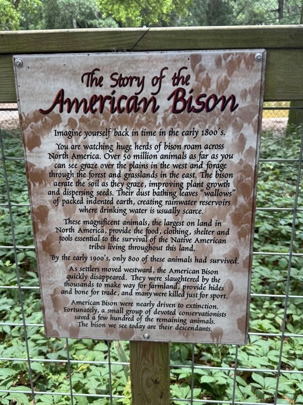
Imagine yourself back in time in the early 1800's.
You are watching huge herds of bison roam across North America. Over 50 million animals as far as you can see graze over the plains in the west and forage through the forest and grasslands in the east. The bison aerate the soil as they graze, improving plant growth and dispersing seeds. Their dust bathing leaves "wallows" of packed indented earth, creating rainwater reservoirs where drinking water is usually scarce.
These magnificent animals, the largest on land in North America, provide the food, clothing, shelter and tools essential to the survival of the Native American tribes living throughout this land.
By the early 1900's, only 800 of these animals had survived.
As settlers moved westward, the American Bison quickly disappeared. They were slaughtered by the thousands to make way for farmland, provides hides and bone for trade, and many were killed just for sport.
American Bison were nearly driven to extinction. Fortunately a small group of devoted conservationists saved a few hundred of the remaining animals. The bison we see today are their descendants.
Erected by Oatland
this page online
Topics. This historical marker is listed in these topic lists: Animals • Environment • Indigenous Peoples and Communities • Wars, US Indian.
Location. 32° 3.02′ N, 81° 1.434′ W. Marker is on Whitemarsh Island, Georgia, in Chatham County. It can be reached from Barley Drive west of Sandtown Road, on the right when traveling west. Touch for map. Marker is at or near this postal address: 711 Sandtown Road Barley Dr, Savannah GA 31410, United States of America. Touch for directions.

Regionally, this marker is on the Coastal Plain, on the Georgia Coast and the Golden Isles, in Greater Savannah, and on the Sea Islands. It is also in the American South, specifically in the Deep South, and on the Eastern Seaboard. Globally, it is in the North Atlantic Region, North America, the Western Hemisphere, the Western World, and the Anglosphere. Historically, it finds itself in what was once New Spain, the territory of the Mississippian Culture, one of the original Thirteen Colonies, one of the Confederate States of America, and the Antebellum
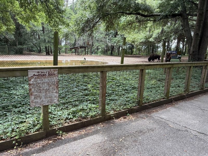
Other nearby markers. At least 8 other markers are within walking distance of this marker: American Bison (here, next to this marker); a different marker also named The American Bison (a few steps from this marker); Ossabaw Island Hog (about 500 feet away, measured in a direct line); Gray Wolf (about 800 feet away); EF-1 Tornado Strikes! (approx. ¼ mile away); Delk-Dawson Heritage Homestead (approx. ¼ mile away); Cane Grinder (approx. ¼ mile away); Great Egret / Snowy Egret (approx. ¼ mile away). Touch for a list and map of all markers in Whitemarsh Island.
Additional keywords. 🦬; genocide
Credits. This page was last revised on May 31, 2026. It was originally submitted on May 31, 2026, by Devry Becker Jones of Washington, District of Columbia. This page has been viewed 18 times since then. Photos: 1, 2. submitted on May 31, 2026, by Devry Becker Jones of Washington, District of Columbia.
