
North Kingston in Washington County, Rhode Island — The American Northeast (New England)
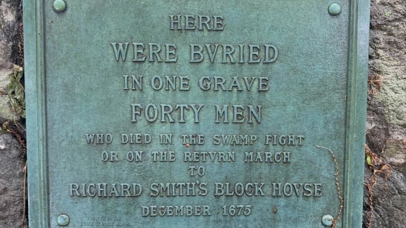
Here Were Bvried
Photographed by G.W.Bartlett, May 24, 2026
1. Here Were Bvried Marker
In One Grave
Forty Men
Who Died in the Swamp Fight
Or on the Retvrn March
to
Richard Smith’s Block House
December 1675
Topics and series. This historical marker is listed in these topic lists: Cemeteries & Burial Sites • Colonial Era • Wars, US Indian. In addition, it is included in the King Philip's War 1675-1676 series list. A significant historical year for this entry is 1675.
Location. 41° 34.999′ N, 71° 27.423′ W. Marker is in North Kingston, Rhode Island, in Washington County. It can be reached from Richard Smith Drive east of Post Road (U.S. 1), on the right when traveling east. Touch for map. Marker is at or near this postal address: 55 Richard Smith Drive, North Kingstown RI 02852, United States of America. Touch for directions.

Regionally, this marker is on Narragansett Bay and in South County. It is also in the American Northeast, in New England, and on the Eastern Seaboard. Globally, it is in the North Atlantic Region, North America, the Western Hemisphere, the Western World, and the Anglosphere. Historically, it finds itself in what was once one of the original Thirteen
this page online
Other nearby markers. At least 8 other markers are within 2 miles of this marker, measured as the crow flies: Captain John Gallup (here, next to this marker); Cocumscussoc Archaeological Site (within shouting distance of this marker); Rabbit Island (within shouting distance of this marker); Roger Williams (about 700 feet away, measured in a direct line); North Kingstown G.A.R. Monument (approx. 1.2 miles away); Robert Rodman's Village (approx. 1.6 miles away); Centerpiece of the Rodman Empire (approx. 1.6 miles away); The New Mill & New Beginnings (approx. 1.6 miles away). Touch for a list and map of all markers in North Kingston.
Related marker. Click here for another marker that is related to this marker.
Also see . . .
1. The Great Swamp Fight 19th of December 1675, Hamilton Tompkins, pub. 1906, Pg. 10. They had now to retrace their steps in the dark, through a dense forest, with a deep snow beneath their feet and a December storm howling about their heads. By the glare of the burning wigwams they formed their line of march back to Wickford, bearing with them their dead and wounded," a march, says Cotton
Photographed by G.W.Bartlett, May 24, 2026
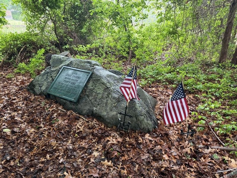
2. Here Were Bvried Marker
2. Smith's Castle Mass Gravesite.
On December 19, 1675, troops from the Confederation of the United Colonies of New England under Governor Winslow including Massachusetts Bay, Plymouth, and Connecticut and Rhode Island joined forces against the most powerful Indian tribe in New England. A bloody battle took place at a fort built by Narragansett Sachem, Canonchet (also called King Philip)in the Great Swamp in South Kingston, Washington County, Rhode Island. Although the United Colonies won the battle, the number of dead and wounded was great for both sides. Land adjoining the building became the burial place for 40 soldiers who died as a result of the Great Swamp Fight.(Submitted on June 7, 2026, by G.W.Bartlett of Hingham, Massachusetts.)
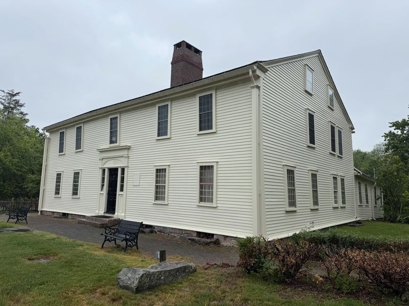
Smith'sCastle or Richard Smith's Block House, as it was called, was burned by Indians and reconstructed using wood from the original house in 1680.Photographed by G.W.Bartlett, May 24, 20263. Here Were Bvried Marker

Photographed by G.W.Bartlett, May 24, 2026
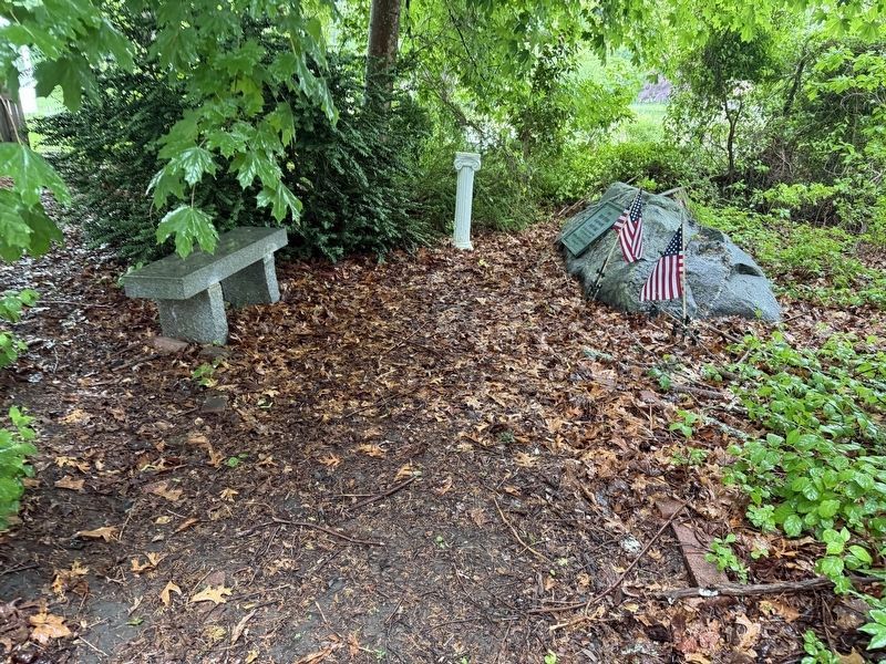
4. Memorial Bench
For This Land
Society of Colonial Wars — 1995
Photographed by G.W.Bartlett, May 24, 2026
5. Richard Smith’s Block House
Smith's Castle
Smith's Castle
Credits. This page was last revised on July 14, 2026. It was originally submitted on May 24, 2026, by G.W.Bartlett of Hingham, Massachusetts. This page has been viewed 38 times since then. Last updated on June 2, 2026, by G.W.Bartlett of Hingham, Massachusetts. Photos: 1, 2, 3, 4, 5. submitted on May 24, 2026, by G.W.Bartlett of Hingham, Massachusetts. • Devry Becker Jones was the editor who published this page.
