Sudbury in Middlesex County, Massachusetts — The American Northeast (New England)
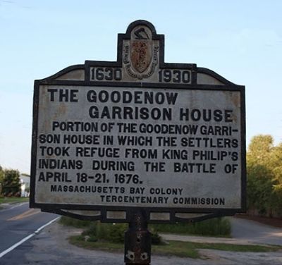
The Goodnow Garrison House
1630 - 1930
Photographed by Russell C. Bixby, August 5, 2011
1. The Goodnow Garrison House Marker
Portion of the Goodenow Garrison House in which the settlers took refuge from King Philip's Indians during the battle of April 18-21, 1676.
Erected 1930 by Massachusetts Bay Colony-Tercentenary Commission.
Topics and series. This historical marker is listed in these topic lists: Colonial Era • Indigenous Peoples and Communities • Wars, US Indian. In addition, it is included in the King Philip's War 1675-1676, and the Massachusetts Bay Colony—Tercentenary Commission Markers series lists. A significant historical date for this entry is April 18, 1659.
Location. 42° 21.745′ N, 71° 23.847′ W. Marker is in Sudbury, Massachusetts, in Middlesex County. It is on Boston Post Road (U.S. 20) just west of Goodmans Hill Road, on the left when traveling west. Touch for map. Marker is at or near this postal address: 151 Boston Post Road, Sudbury MA 01776, United States of America. Touch for directions.

Regionally, this marker is in Greater Boston. It is also in the American Northeast, in New England, and on the Eastern Seaboard. Globally, it is in the North Atlantic Region, North America, the Western Hemisphere,
this page online
Other nearby markers. At least 8 other markers are within 2 miles of this marker, measured as the crow flies: Goodenow Garrison House Site (a few steps from this marker); Sudbury (approx. ¼ mile away); Men of the Sudbury Fight Monument (approx. 0.9 miles away); Capt. Samuel Wadsworth (approx. 0.9 miles away); Hop Brook Mill (approx. 0.9 miles away); Sudbury Fight (approx. one mile away); Haynes Garrison House (approx. one mile away); Site of the Haynes Garrison House (approx. 1.2 miles away). Touch for a list and map of all markers in Sudbury.
Also see . . .
1. Historical Markers Erected by Massachusetts Bay Colony Tercentenary Commission (1930). Internet Archive website entry:
Original 1930 publication by the Commonwealth of Massachusetts of Tercentenary Commission Markers, commemorating the three hundredth anniversary of the Massachusetts Bay Colony. (Submitted on August 6, 2011, by Russell Chaffee Bixby of Bernardston, Massachusetts.)
2. Sudbury Historical Society. Society website
Photographed by G.W.Bartlett, June 6, 2026
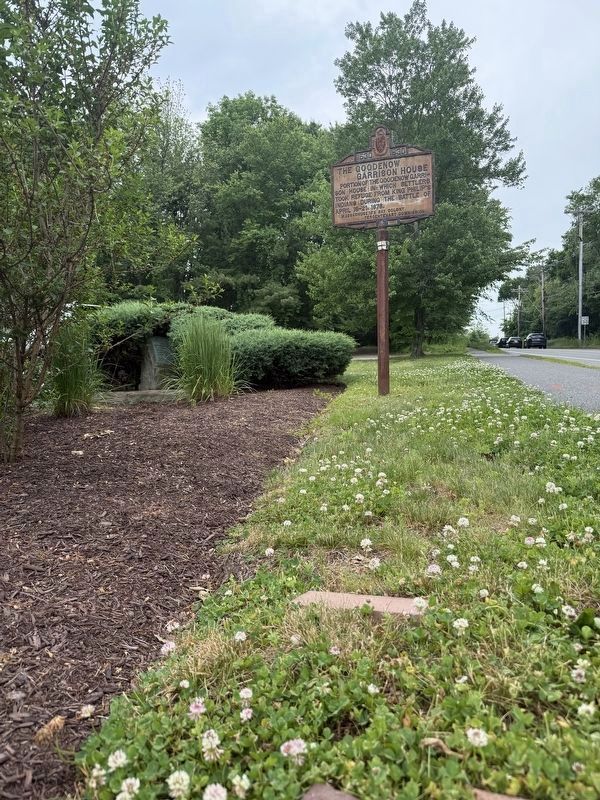
2. The Goodnow Garrison House Marker (wide west)
View of marker looking to the west with smaller original marker visible in bushes.
The Sudbury Historical Society is dedicated to bringing the rich history of the Sudbury Plantation into the lives and activities of the people of Sudbury. We collect, preserve and and communicate the history of Sudbury, Massachusetts. Founded in 1956, and incorporating the earlier Goodman Society, the Society maintains its offices and collections on the second floor of Sudbury Town Hall. (Submitted on September 10, 2011, by Russell Chaffee Bixby of Bernardston, Massachusetts.)
3. Sudbury Fight - Wikipedia.
The Sudbury Fight (April 18-21, 1676) was a battle of King Philip's War, fought in what is today Sudbury and Wayland, Massachusetts, when approximately five hundred Wampanoag, Nipmuc, and Narragansett Native Americans raided the frontier settlement of Sudbury in Massachusetts Bay Colony. Disparate companies of English militiamen from nearby settlements marched to the town's defense, two of which were drawn into Native ambushes and suffered heavy losses. The battle was the last major Native American victory in King Philip's War before their final defeat in southern New England in August 1676.(Submitted on May 27, 2026, by G.W.Bartlett of Hingham, Massachusetts.)
Photographed by G.W.Bartlett, June 6, 2026
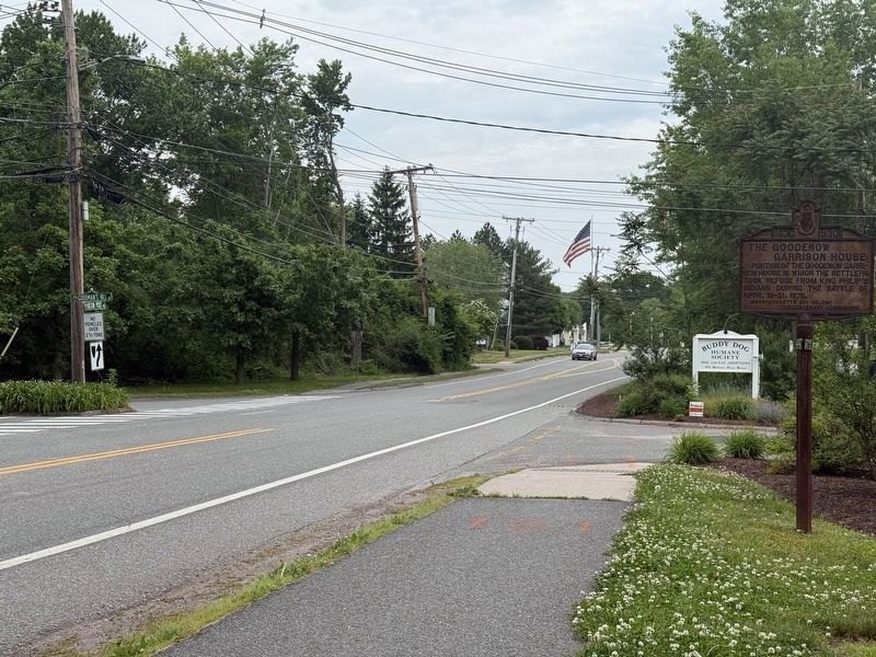
3. The Goodnow Garrison House Marker (wide east)
View of marker looking east from roadway.
Credits. This page was last revised on July 9, 2026. It was originally submitted on August 6, 2011, by Russell Chaffee Bixby of Bernardston, Massachusetts. This page has been viewed 2,716 times since then and 190 times this year. Last updated on June 6, 2026, by G.W.Bartlett of Hingham, Massachusetts. Photos: 1. submitted on August 6, 2011, by Russell Chaffee Bixby of Bernardston, Massachusetts. 2, 3. submitted on June 6, 2026, by G.W.Bartlett of Hingham, Massachusetts. • Devry Becker Jones was the editor who published this page.
Editor’s want-list for this marker. Photograph of the house site • Can you help?
