Federal Hill in Baltimore, Maryland — The American Northeast (Mid-Atlantic)
Federal Hill
The Tunnels Under Federal Hill
| — | Baltimore National Heritage Area | — |
Photographed by Mark P. Brock-Cancellieri, May 1, 2026
1. Federal Hill Marker
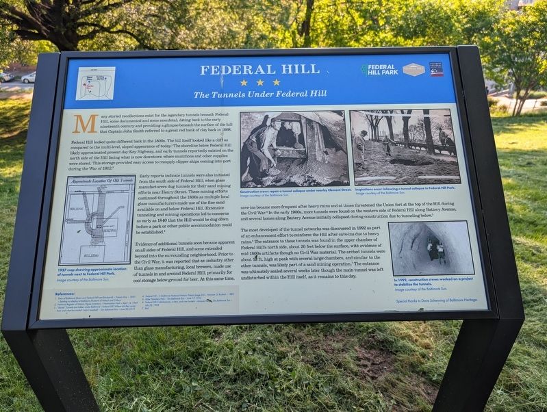
Federal Hill looked quite different back in the 1800s. The hill itself looked like a cliff as compared to the multi-level, sloped appearance of today.1 The shoreline below Federal Hill likely approximated present day Key Highway, and early tunnels reportedly existed on the north side of the Hill facing what is now downtown where munitions and other supplies were stored. Theis storage provided each access to resupply clipper ships coming into port during the War of 1812.2
Early reports indicate tunnels were also initiated from the south side of Federal Hill, when glass manufacturers dug tunnels for their sand mining efforts near Henry Street. These mining efforts continued throughout the 1800s as multiple local glass manufacturers made use of the fine sand available on and below Federal Hill. Extensive tunneling and mining
this page online
Evidence of additional tunnels soon became apparent on all sides of Federal Hill, and some extended beyond into the surrounding neighborhood. Prior to the Civil War, it was reported that an industry other than class manufacturing, local brewers, made use of tunnels in and around Federal Hill, primarily for cool storage below ground for beer. At the same time, cave-ins became more frequent after heavy rains and at times threatened the Union fort at the top of the Hill during the Civil War.4 In the early 1900s, more tunnels were found on the western side of Federal Hill along Battery Avenue, and several homes along Battery Avenue initially collapsed during construction due to tunneling below.5
The most developed of the tunnel networks was discovered in 1992 as part of an enhancement effort to reinforce the Hill after cave-ins due to heavy rains.6 The entrance to these tunnels was found in the upper chamber of Federal Hill's north side, about 20 feet below the surface, with evidence of mid
Photographed by Mark P. Brock-Cancellieri, May 1, 2026
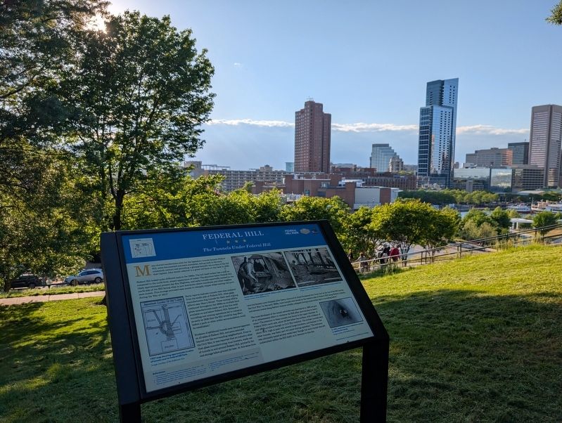
2. Federal Hill Marker and view from Federal Hill
(captions)
1927 map showing approximate location of tunnels next to Federal Hill Park. Image courtesy of the Baltimore Sun.
Construction crews repair a tunnel collapse under nearby Clement Street. Image courtesy of the Baltimore Sun.
Inspections occur following a tunnel collapse in Federal Hill Park. Images courtesy of the Baltimore Sun.
In 1992, construction crews worked on a project to stabilize the tunnels. Image courtesy of the Baltimore Sun.
Special thanks to Dave Schenning of Baltimore Heritage.
References:
1. View of Baltimore (Basin and Federal Hill from Brickyard) - Francis Guy - 1803 - Painting on display at Baltimore Museum of History and Culture
2. National Register of Historic Places Inventory - Nomination Form - April 16, 1969
3. "Secret" Tunnels are hidden under Baltimore's Federal Hill. Where did they come from and what lies inside? Colin Campbell - The Baltimore Sun - June 30, 2019
4. Federal Hill - A Baltimore National Historic District (page 26) - Norman G. Ruckert - 1980
5. Slide Threatens Park - The Baltimore Sun - June 17, 1916
6. Federal Hill: Cobblestones, a view, and now tunnels - Jacques Kelly - The Baltimore Sun - July 22, 1992
7 Ibid
Erected by Federal
Photographed by Mark P. Brock-Cancellieri, May 1, 2026
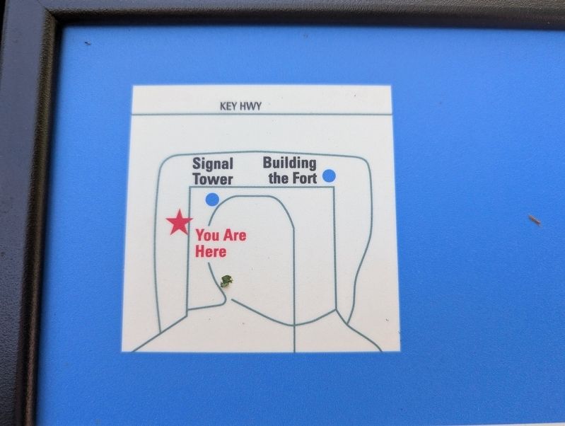
3. Federal Hill Marker insert
Topics. This historical marker is listed in these topic lists: Colonial Era • Forts and Castles • Parks & Recreational Areas • War of 1812 • War, US Civil. A significant historical year for this entry is 1608.
Location. 39° 16.758′ N, 76° 36.524′ W. Marker is in Baltimore, Maryland. It is in Federal Hill. It can be reached from Warren Avenue east of Battery Avenue, on the left when traveling east. Touch for map. Marker is at or near this postal address: 335 Warren Ave, Baltimore MD 21230, United States of America. Touch for directions.

Regionally, this marker is in Central Maryland. It is also in the American Mid-Atlantic, in the Chesapeake Bay Region, and on the Eastern Seaboard. Globally, it is in the North Atlantic Region, North America, the Western Hemisphere, the Western World, and the Anglosphere. Historically, it finds itself in what was once one of the original Thirteen Colonies and also the Antebellum South.
Other nearby markers. At least 8 other markers are within walking distance of this marker: A different marker also named Federal Hill (within shouting distance of this marker); Grand Army of the Republic (within shouting distance of this marker); Revolutionary War Patriots (about 300 feet away, measured in a direct line); Major General Samuel Smith (about 300 feet away); 226 Warren Avenue (about 400 feet away); Colonel George Armistead (about 400 feet away); 222 East Churchill Street (about 400 feet away); a different marker also named Federal Hill (about 400 feet away). Touch for a list and map of all markers in Baltimore.
Another marker is no longer nearby. Federal Hill (was about 400 feet away but has been replaced with another marker now near it).
Credits. This page was last revised on June 15, 2026. It was originally submitted on June 13, 2026, by Mark P. Brock-Cancellieri of Baltimore, Maryland. This page has been viewed 23 times since then. Photos: 1, 2, 3. submitted on June 13, 2026, by Mark P. Brock-Cancellieri of Baltimore, Maryland. • Bernard Fisher was the editor who published this page.
